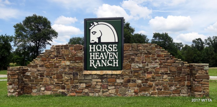
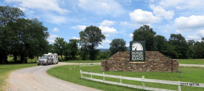
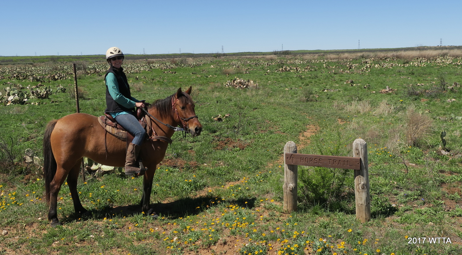
Horse Heaven Ranch Resort
Website: http://www.horseheavenranchresort.com/
Location: Located in the Ouachita National Forest near Talihina in southeastern Oklahoma.
Mailing Address:
Horse Heaven Ranch Resort
1 Horse Heaven Lane
Talihina, OK 74571

GPS
N 34 42.965 W 094 55.740
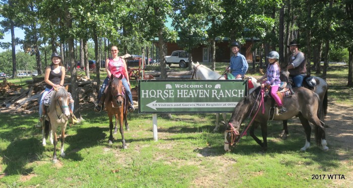
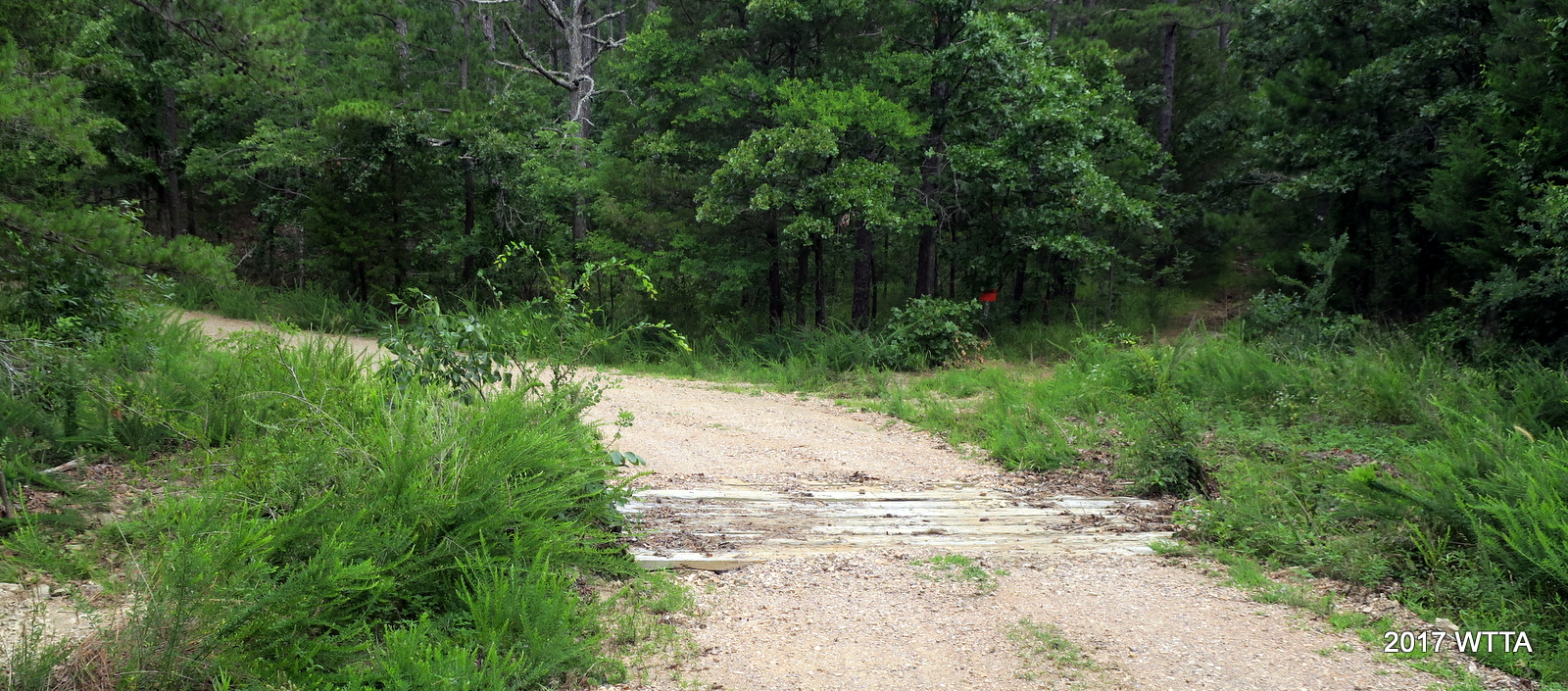
Directions: Coming from Talihina, take 63 East for approximately 6-7 miles. You will see a blue road sign alerting you to Horse Heaven. Turn left at the white fence and the Horse Heaven rock sign on the left. Go approximately one mile on the gravel road. You will see another Horse Heaven sign on your right. On the right is the barn and this is also where the office is located. On the left you will see the arena. Campsites are further down the road and the Cabins are the furthest back.
GPS N 34 42.965 W 094 55.740 (note google maps is incorrect as it shows the address located in the city of Talihina).
Contact: Ranch hand/helper, Elfie cell #254/289-2242 or ranch #918/567-4200, email: equineempress@yahoo.com
Elfie said she really does not have a title at Horse Heaven, she just helps out. She has been there for about 14 years now and lives on site. She found the place due to her love of trail riding. She works on keeping the trail clean and enjoys helping out. She is the trail rider that never left.
Owner: Dudley Black
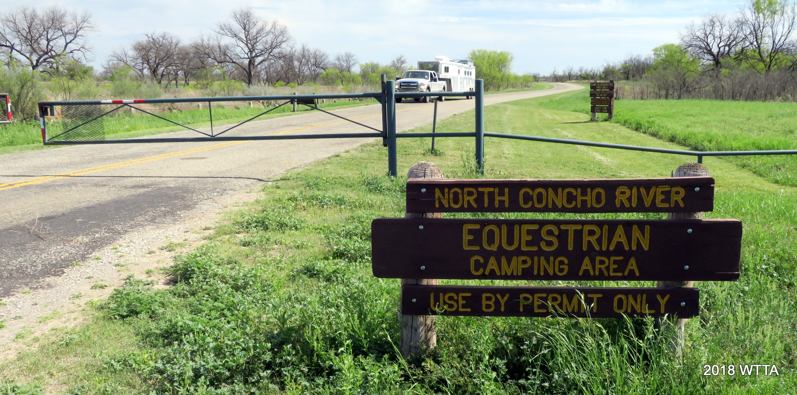
Camping: Overnight camping with horses is allowed and encouraged!

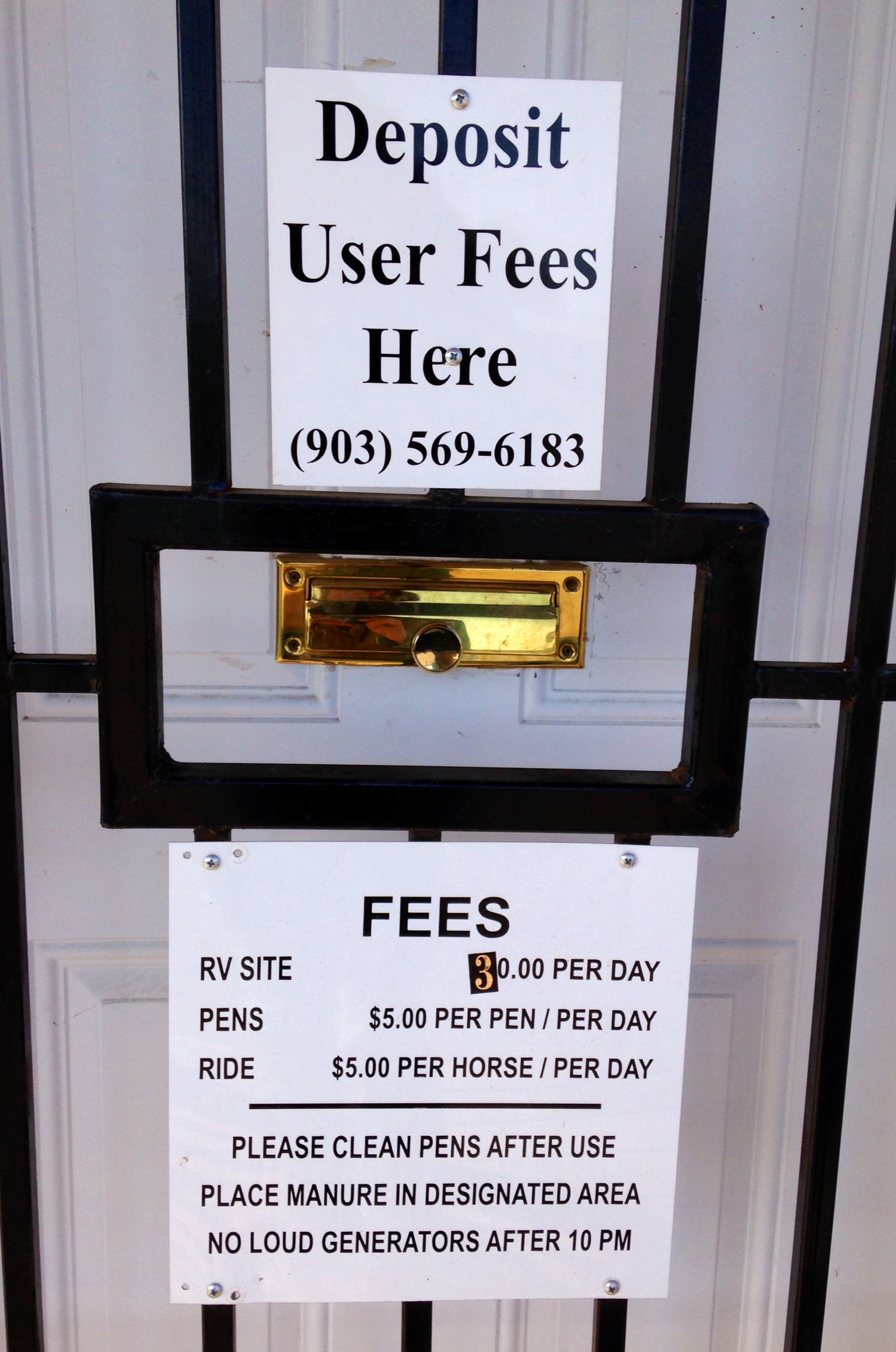
Fees:
(fees will may vary and there are extra charges for more than two horses or additional people – please call to verify fees):
- $10.00 a person for day riders
- $20.00 a night for a 30 amp camp site to include two horse pens
- $25.00 a night for a 50 amp camp site to include two horse pens
- $142.76 – $174.48 a night for the 1 or 2 bedroom cabins for 4-6 people which include 2-3 stall barns with loafing shed. Extra fees may apply for additional persons/horses.
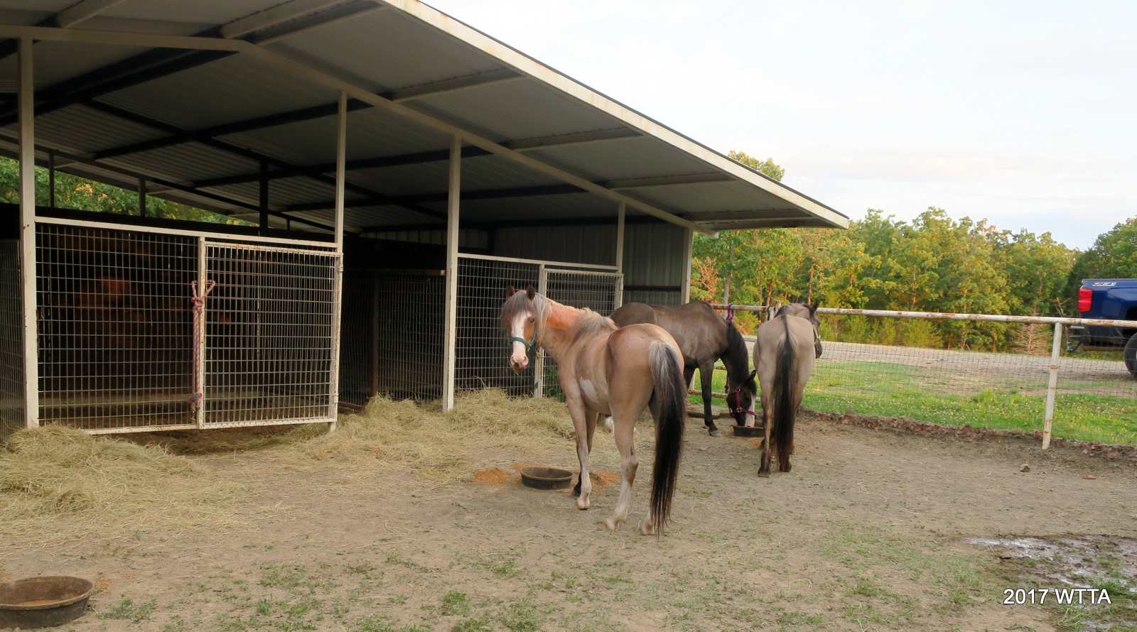
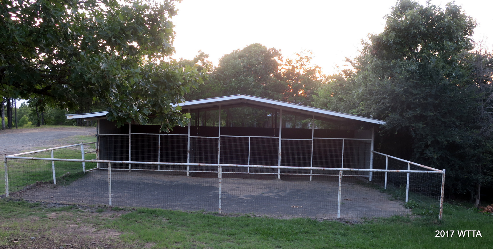
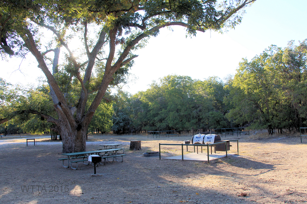
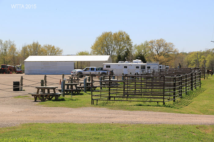
Horse Heaven Facilities:
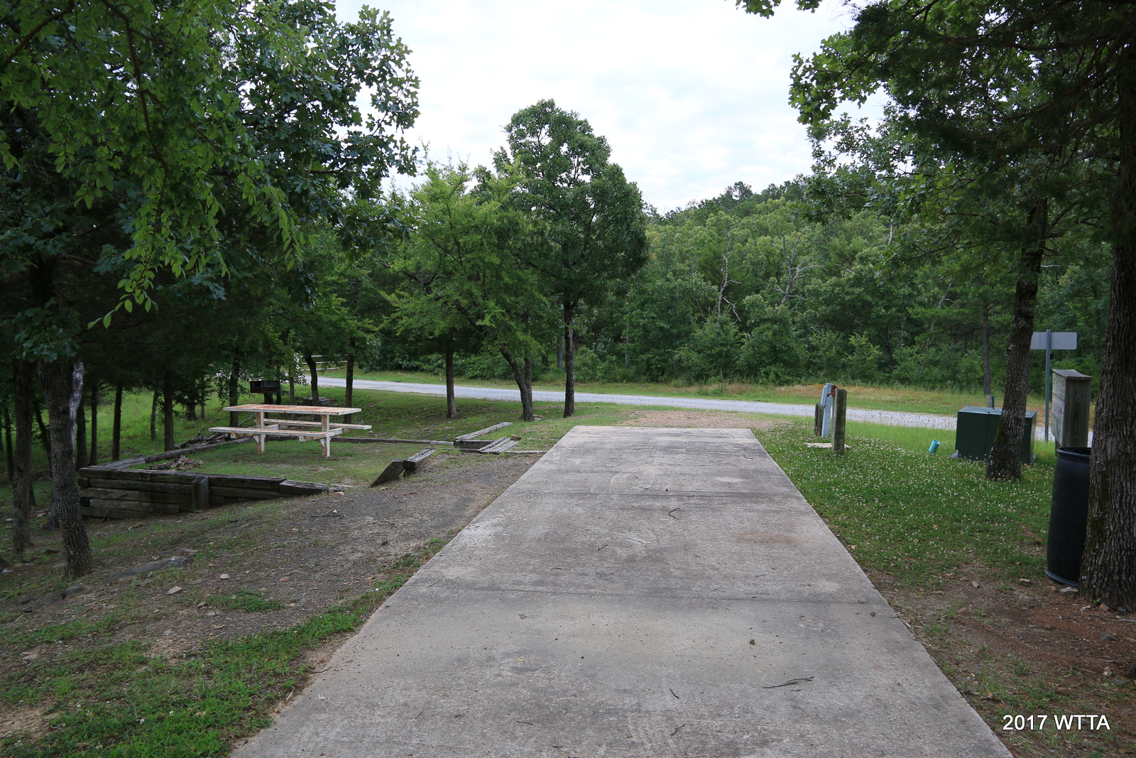
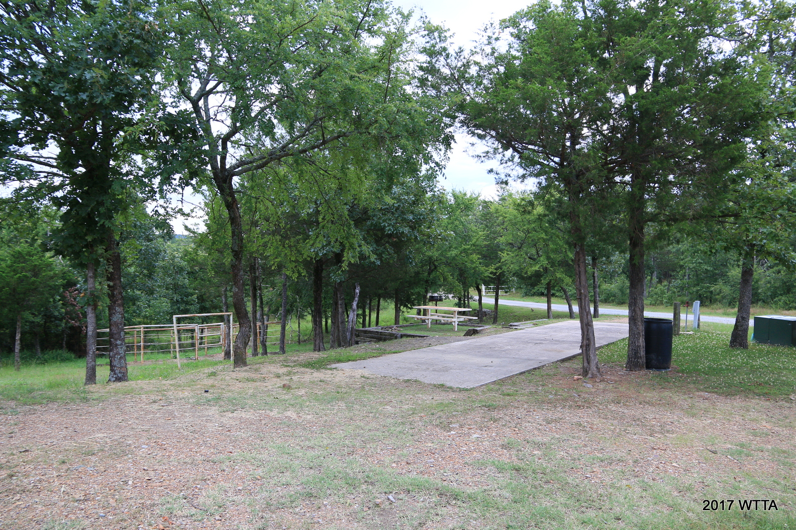
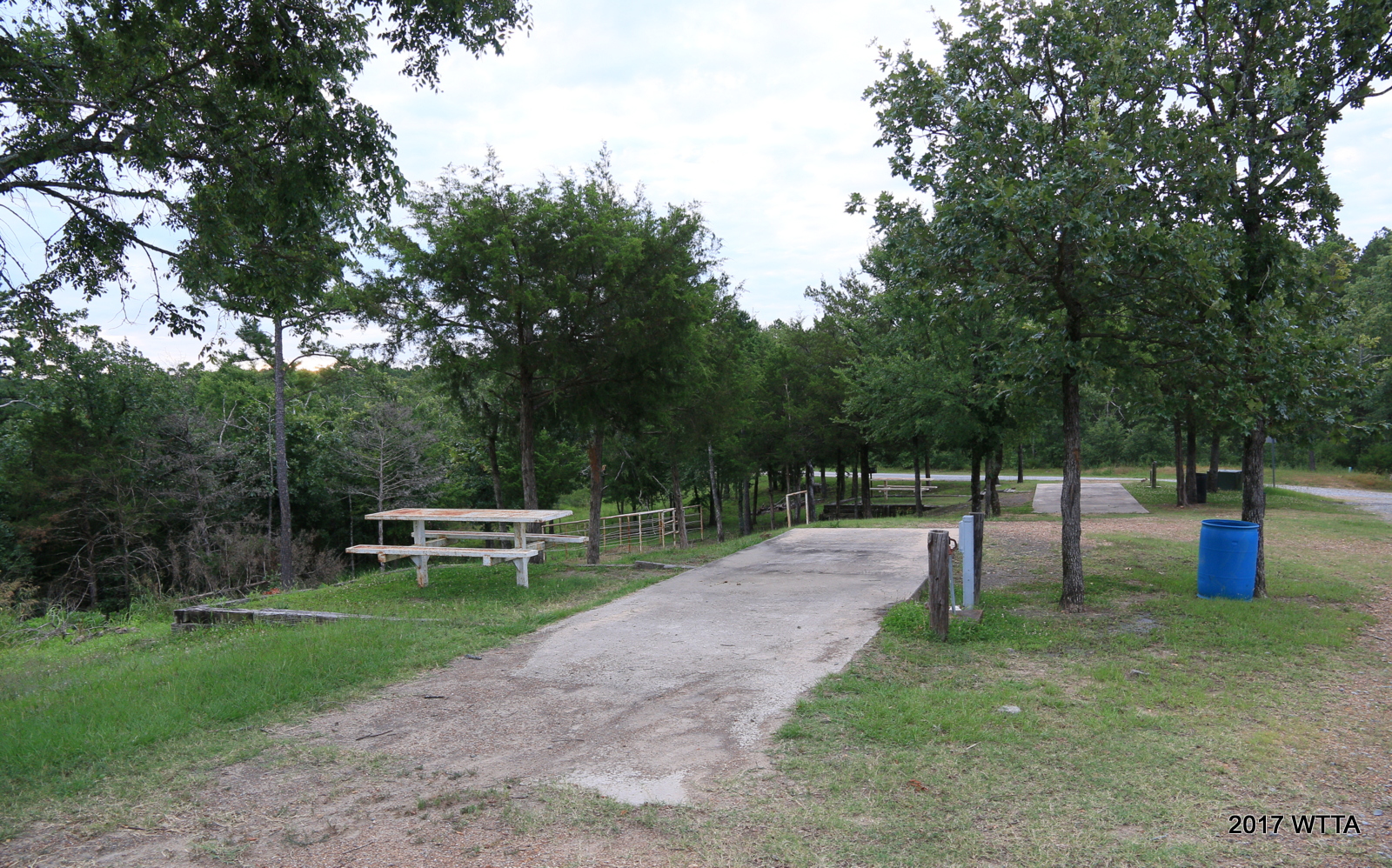
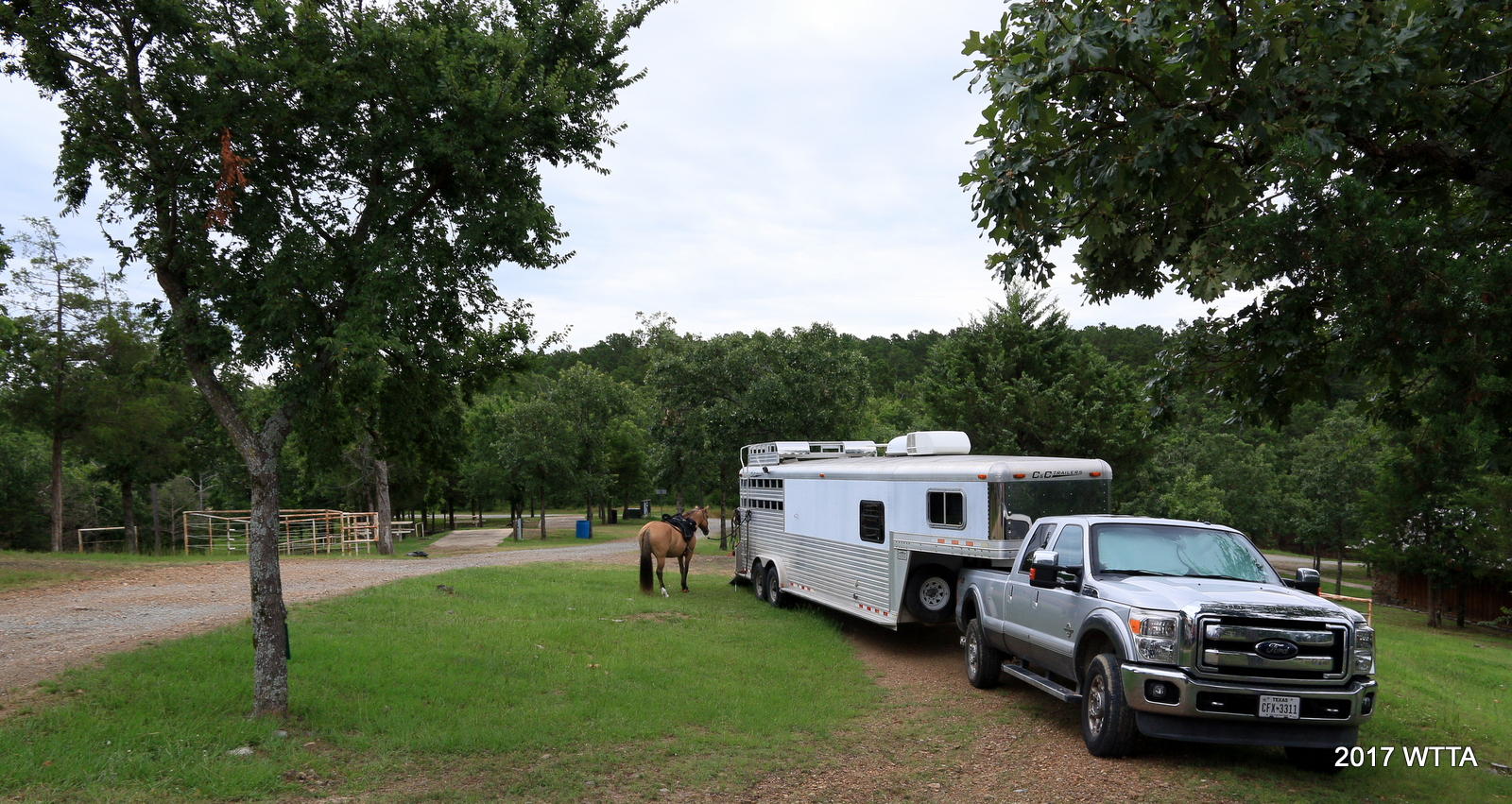
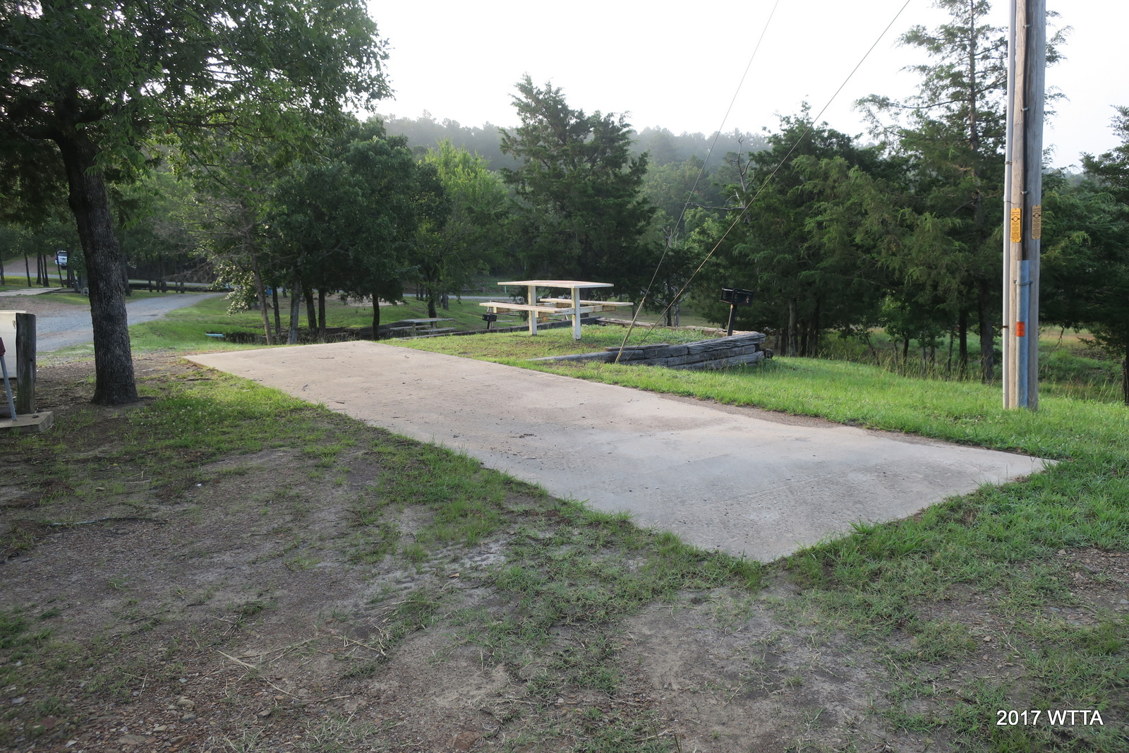
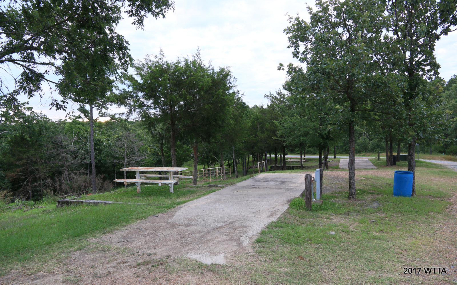
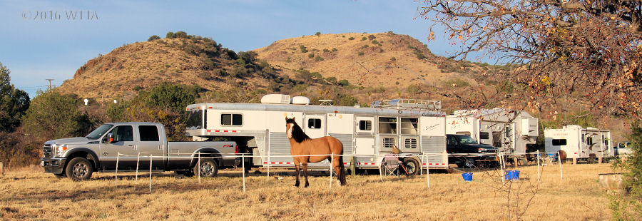
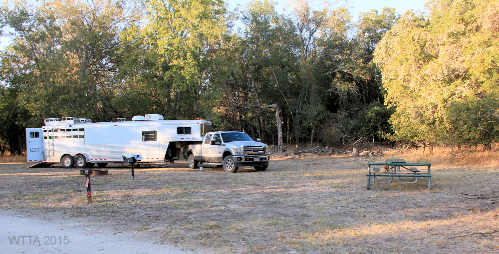
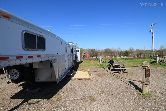
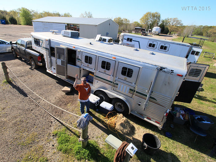
32 RV / Living quarter horse trailer sites include
- 30 to 46 foot concrete level pads (some are pull through)
- Electric (50 amp or 30 amp)
- Water
- Some have sewer
- Pipe hitching post
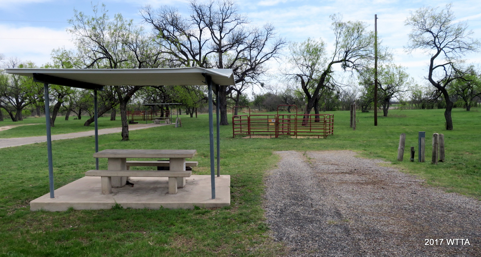
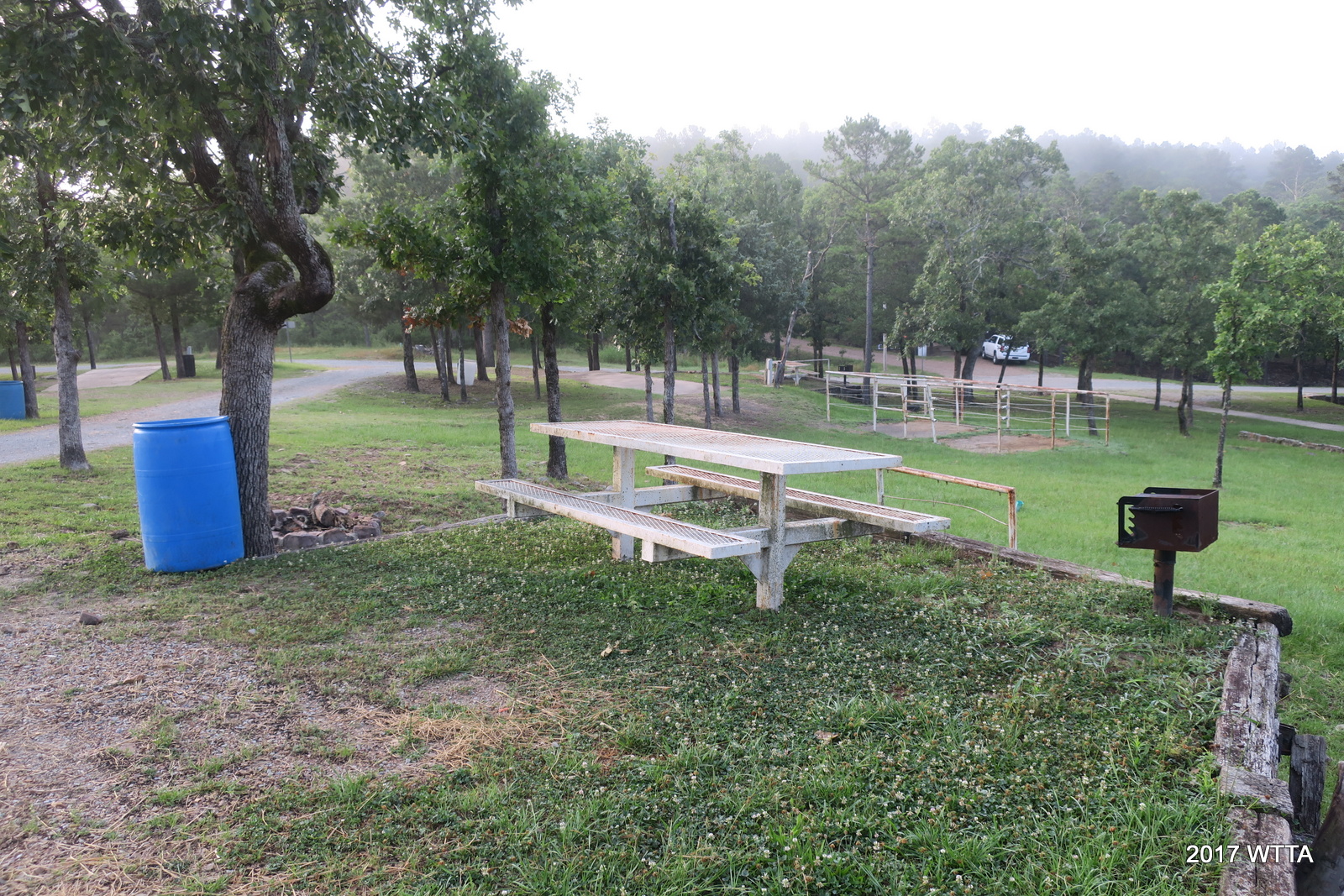
- Metal picnic table
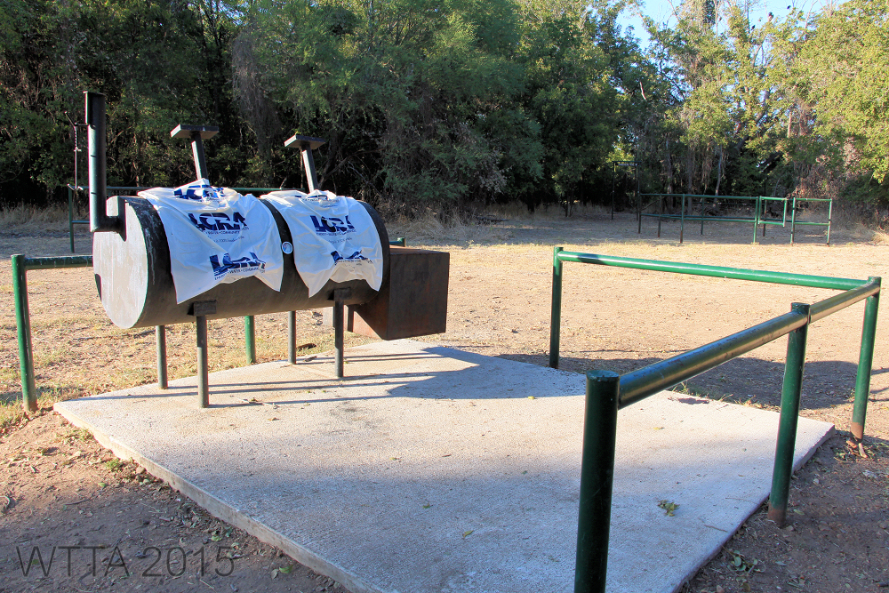
- Grill
- Fire pit
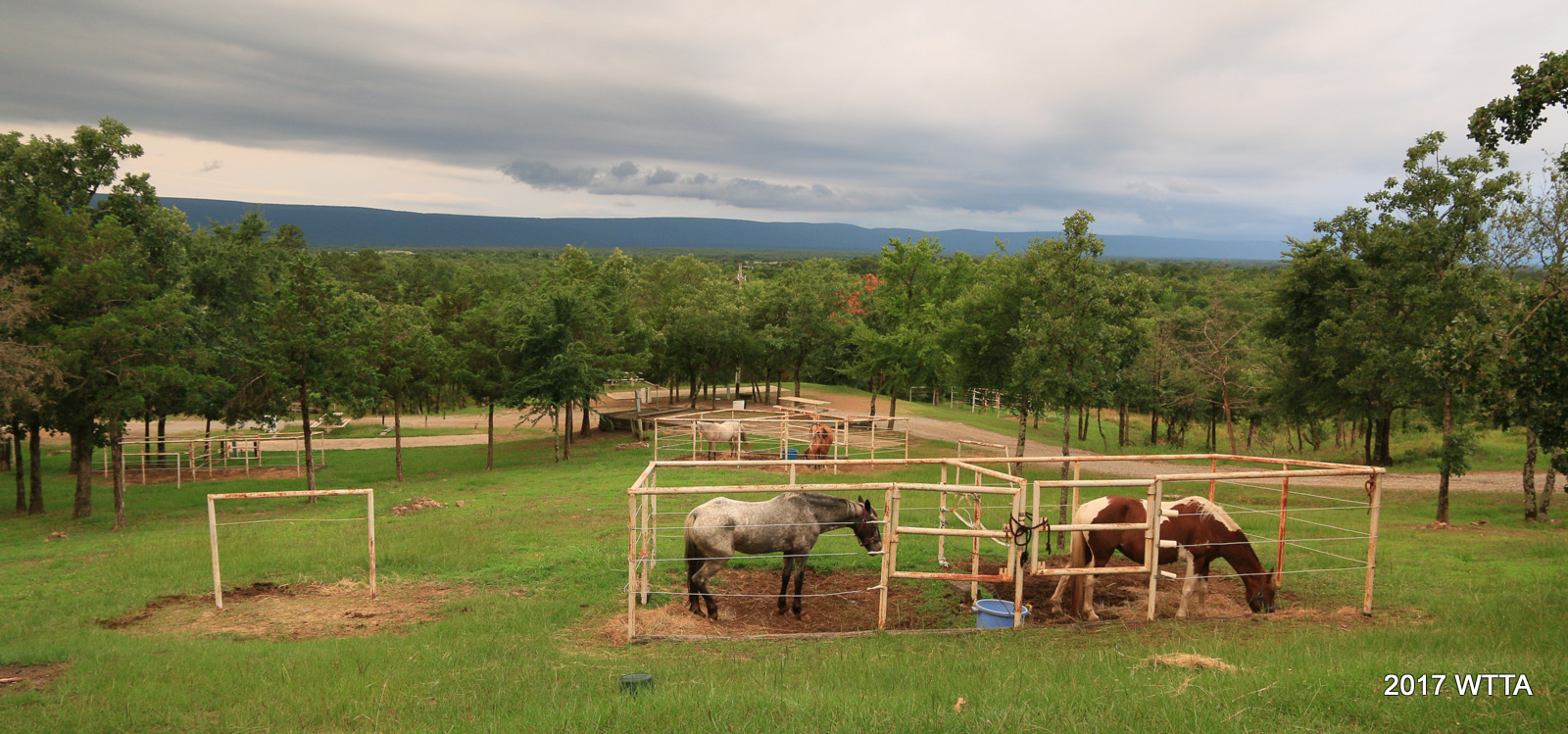
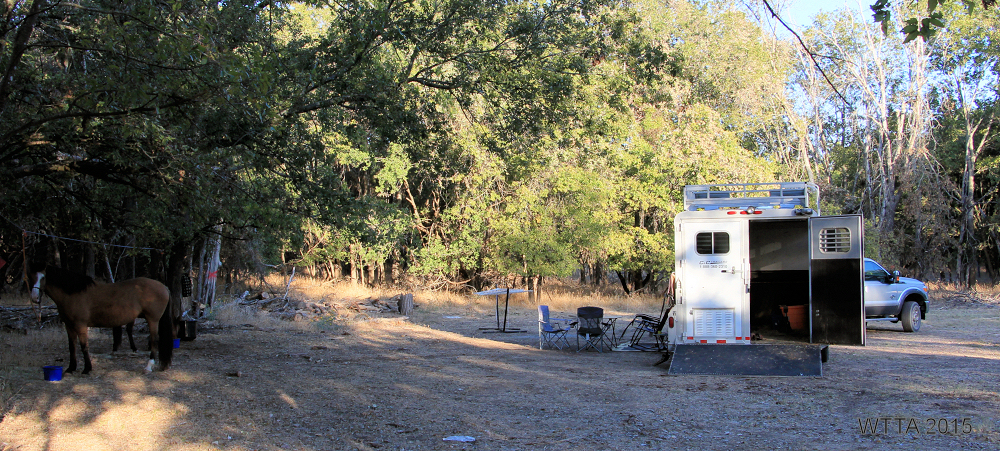
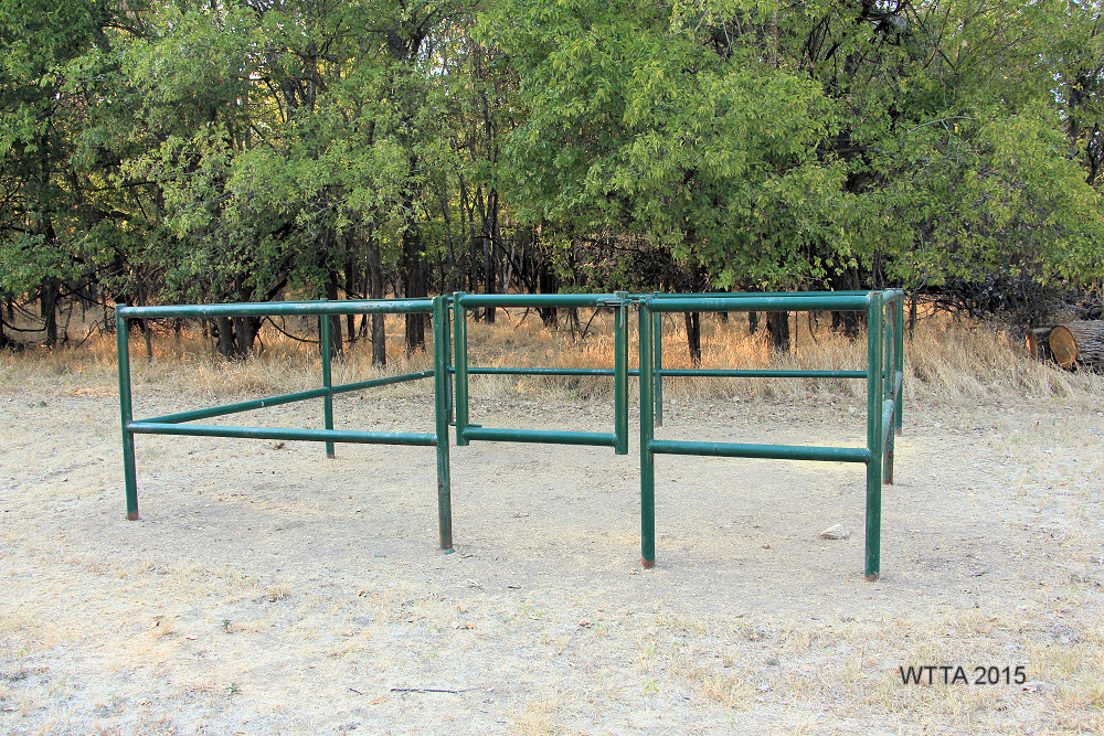
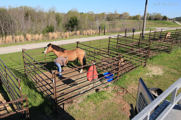
- Two 12′ x 12′ pipe framed pens
You are also allowed to set up your own electric pen or containment for your horse on the campgrounds if you want them to have more space and be able to graze.
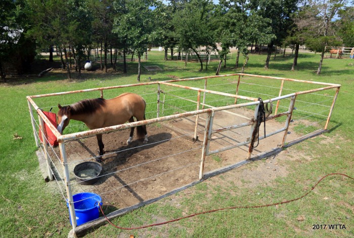
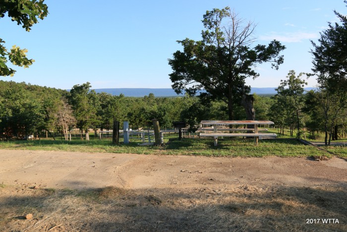
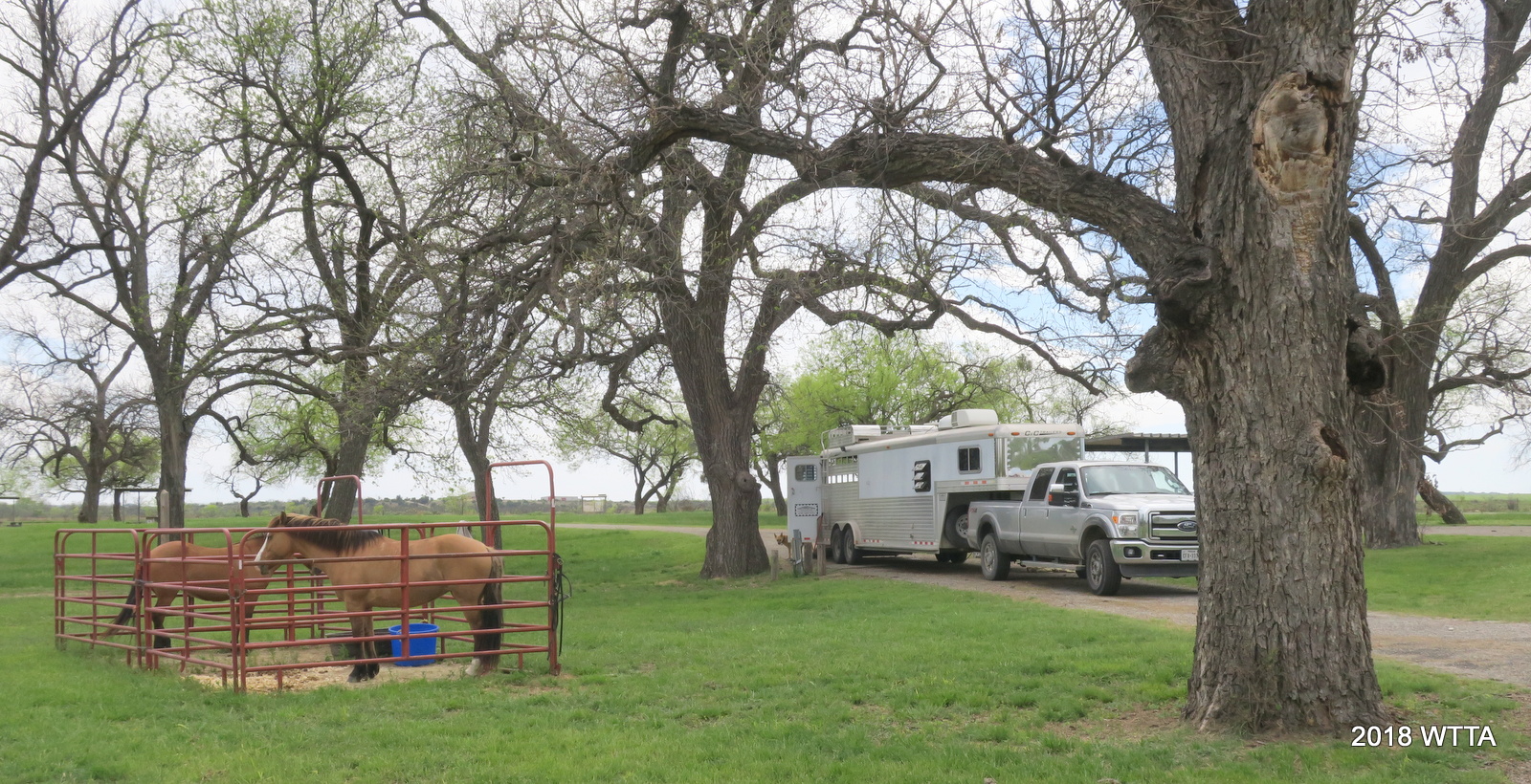
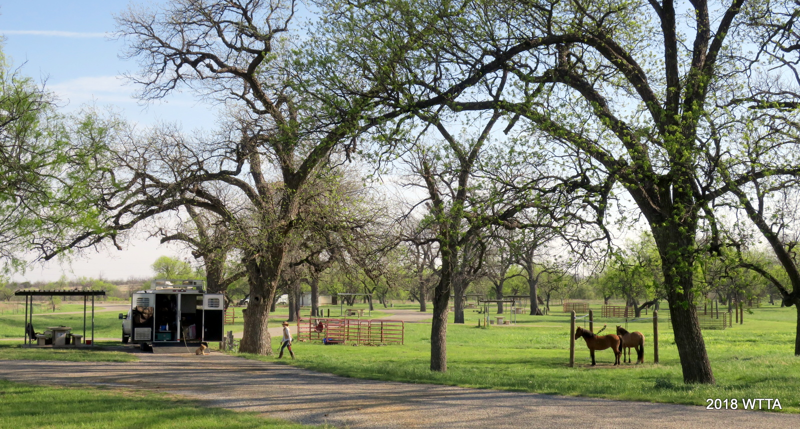
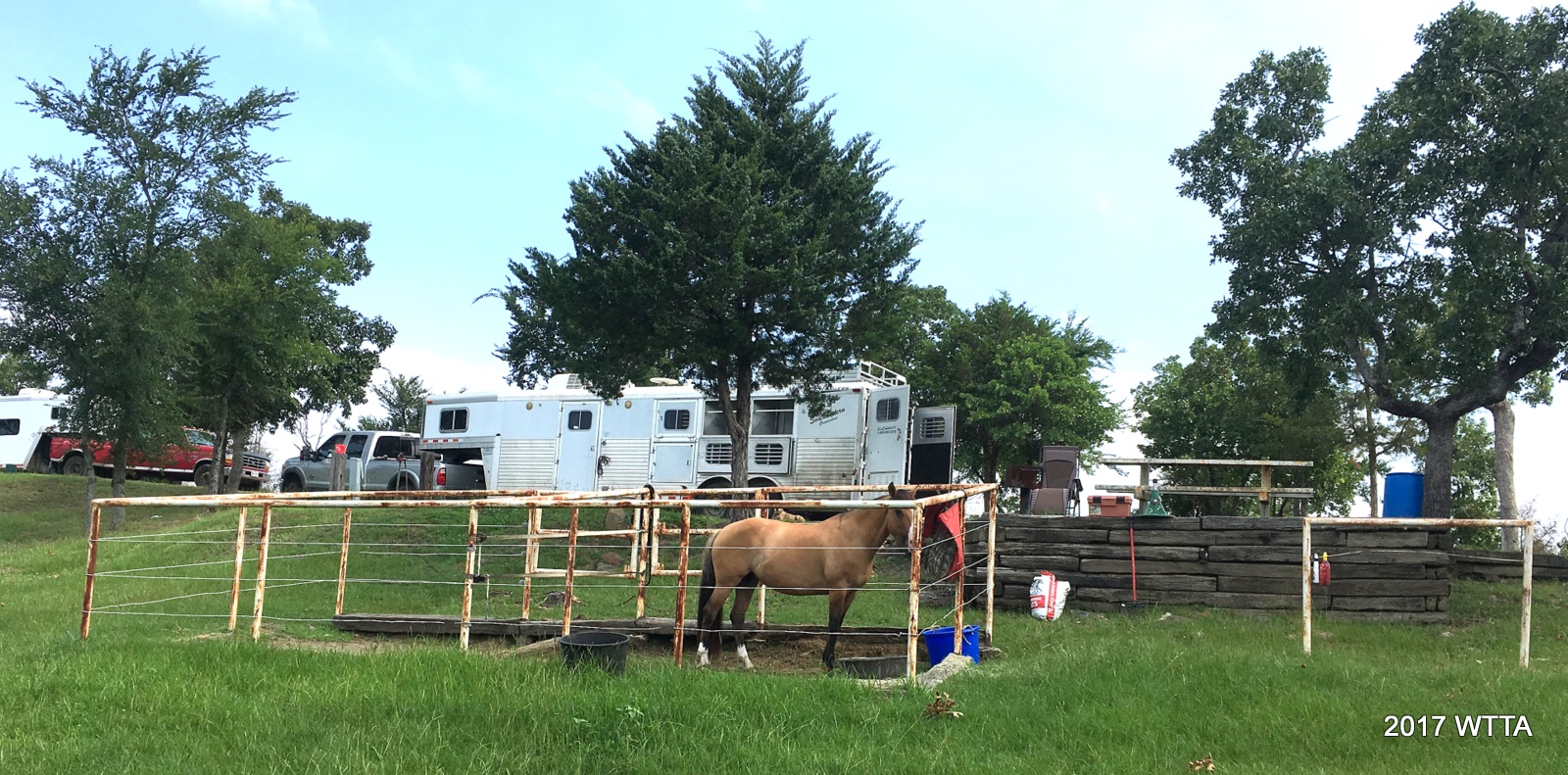
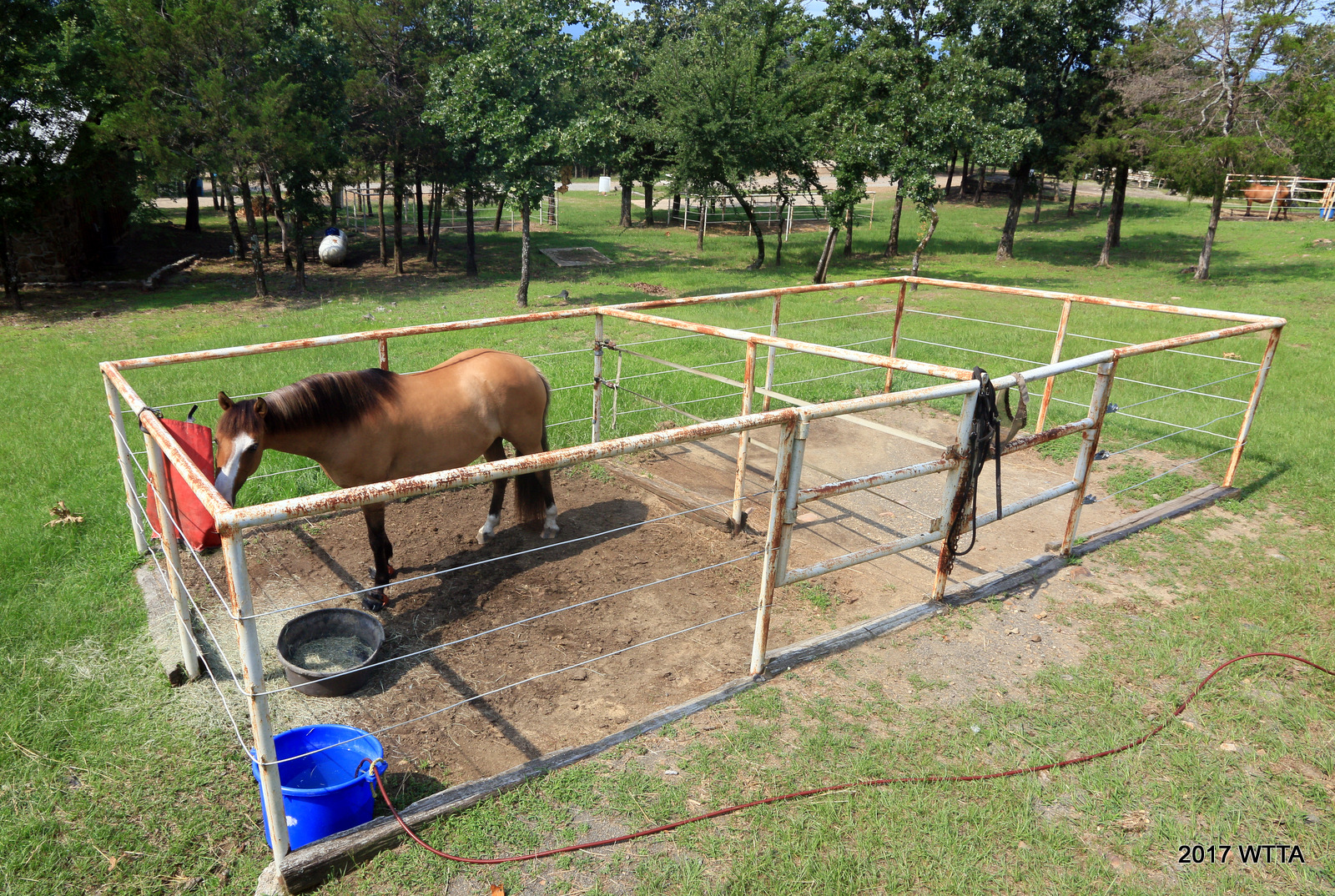
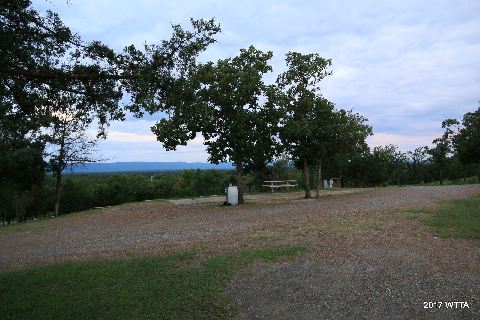
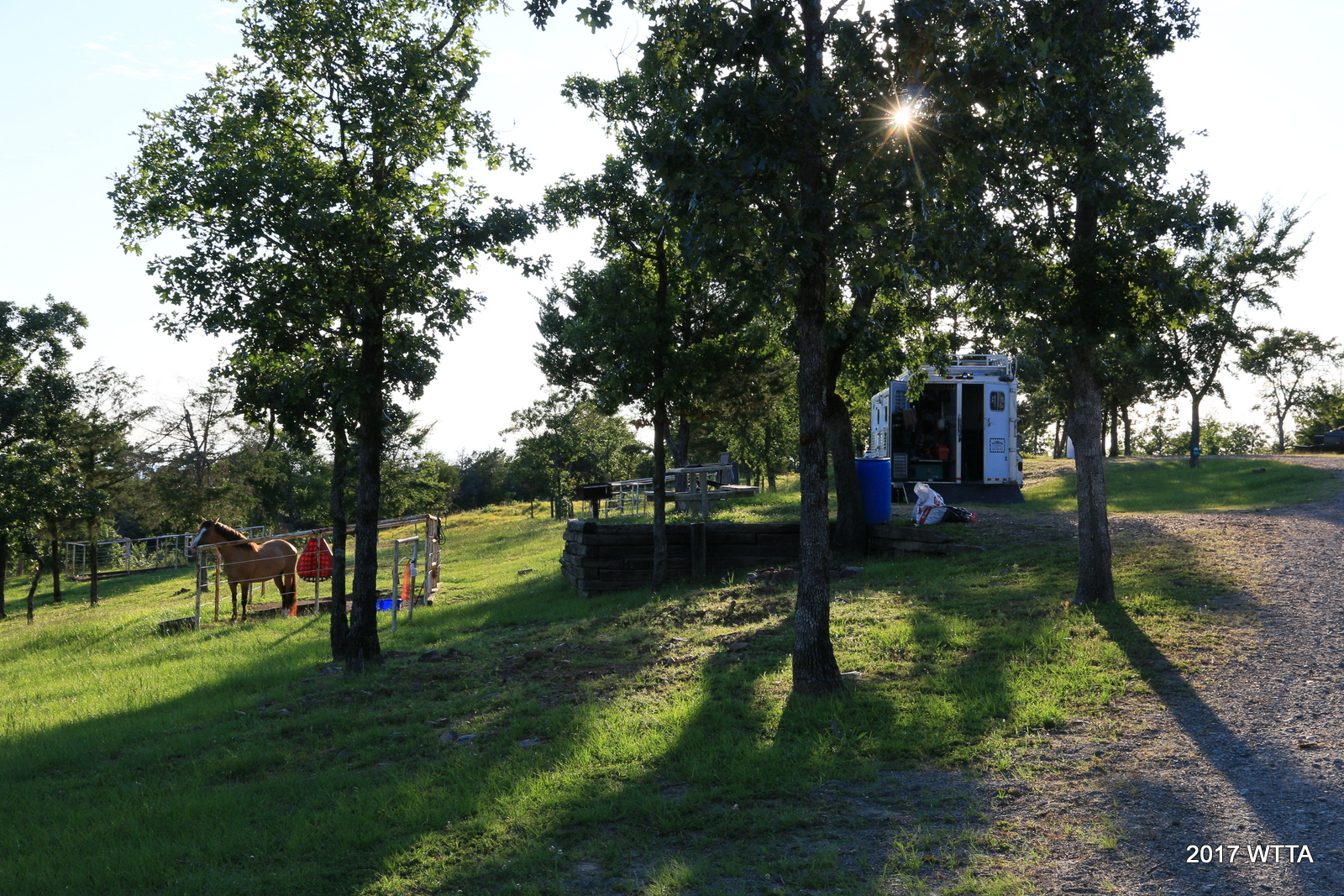
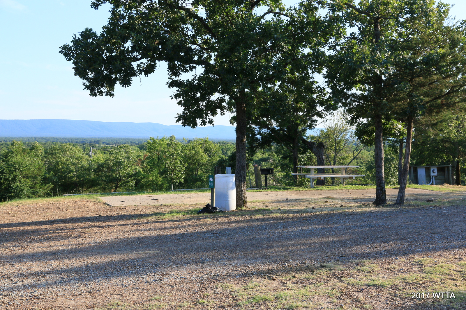
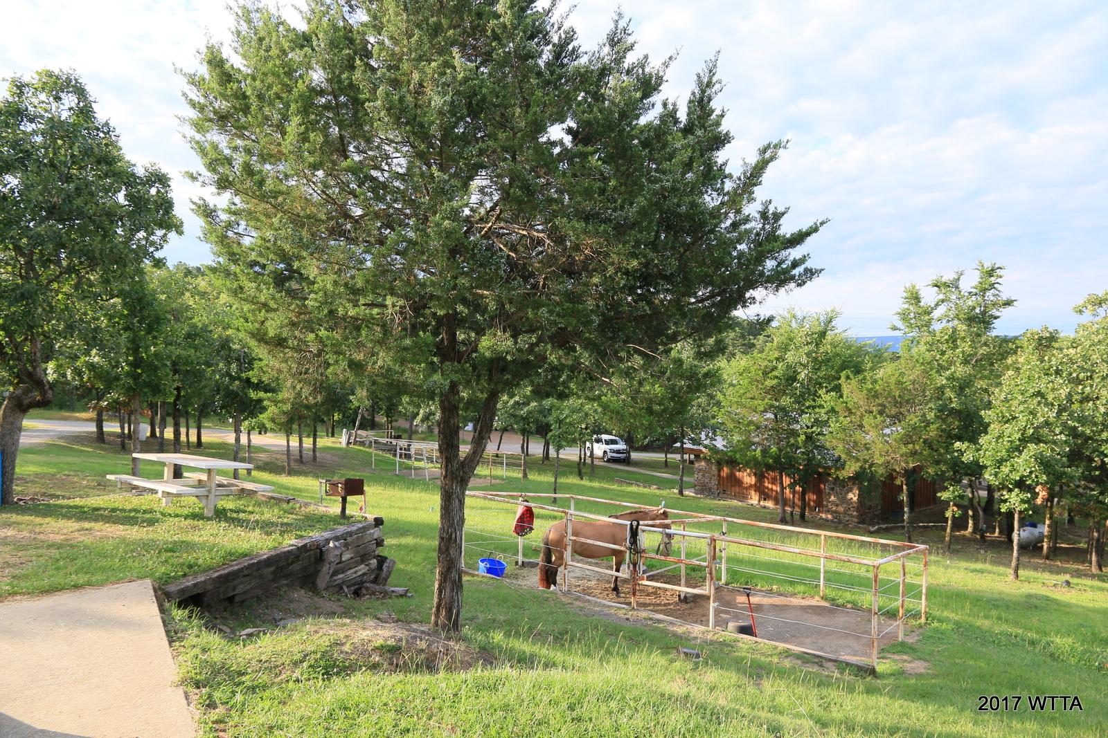
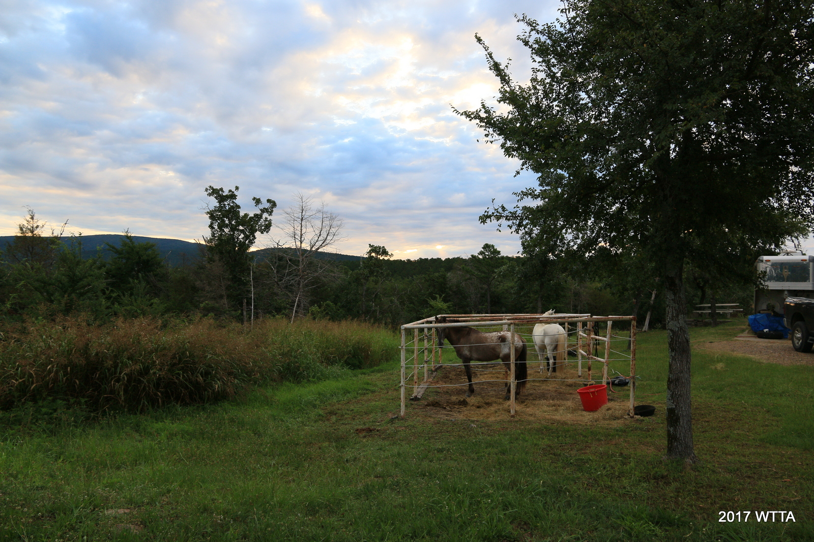
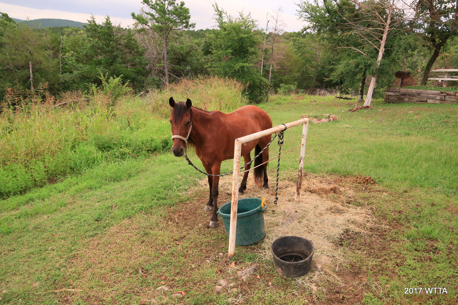
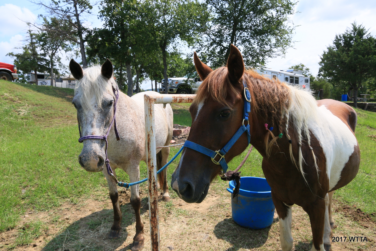
Many camp sites have great mountain views to the north and south. Lots of shade trees are all throughout the camp. The camping area is hilly. At some of the sites the parking pads are at a different level than the horse pens which requires you walk up and down an incline to go from your RV/trailer to the pens. My site, #25, had a pleasant view of the mountains to the north, but there was a fairly steep grade from where my trailer was parked to where the horse pens are located. Many other sites are level. If that makes a difference to you, then be sure to ask for a site that has a pad fairly level with the horse pens. The pens are close to the pads. Some of the pens are in very good shape while others need repairs and have temporary fixes like bailing twine or straps/ropes used for the railings on the center divider. The pens are pipe and the rails are rubber coated wire. The two pens are adjoined, sharing a center divider. Not all horse pens are in the shade. You are also allowed to set up your own electric pen or containment for your horse on the campgrounds. Bring your own water buckets and water hoses.

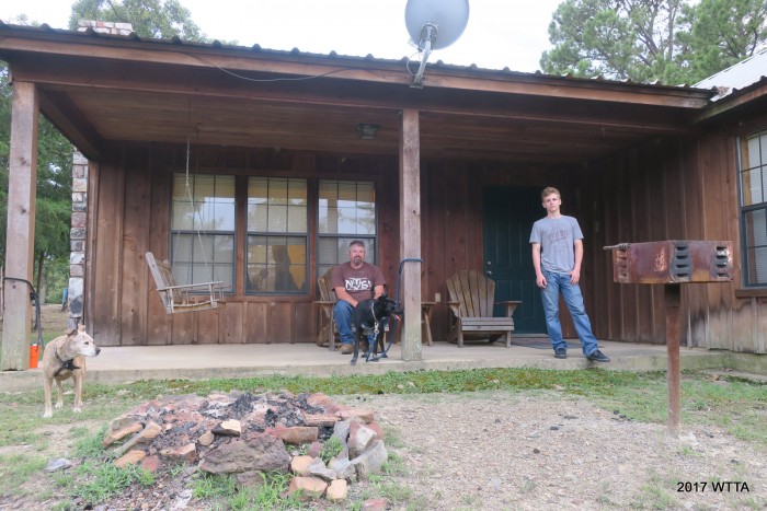
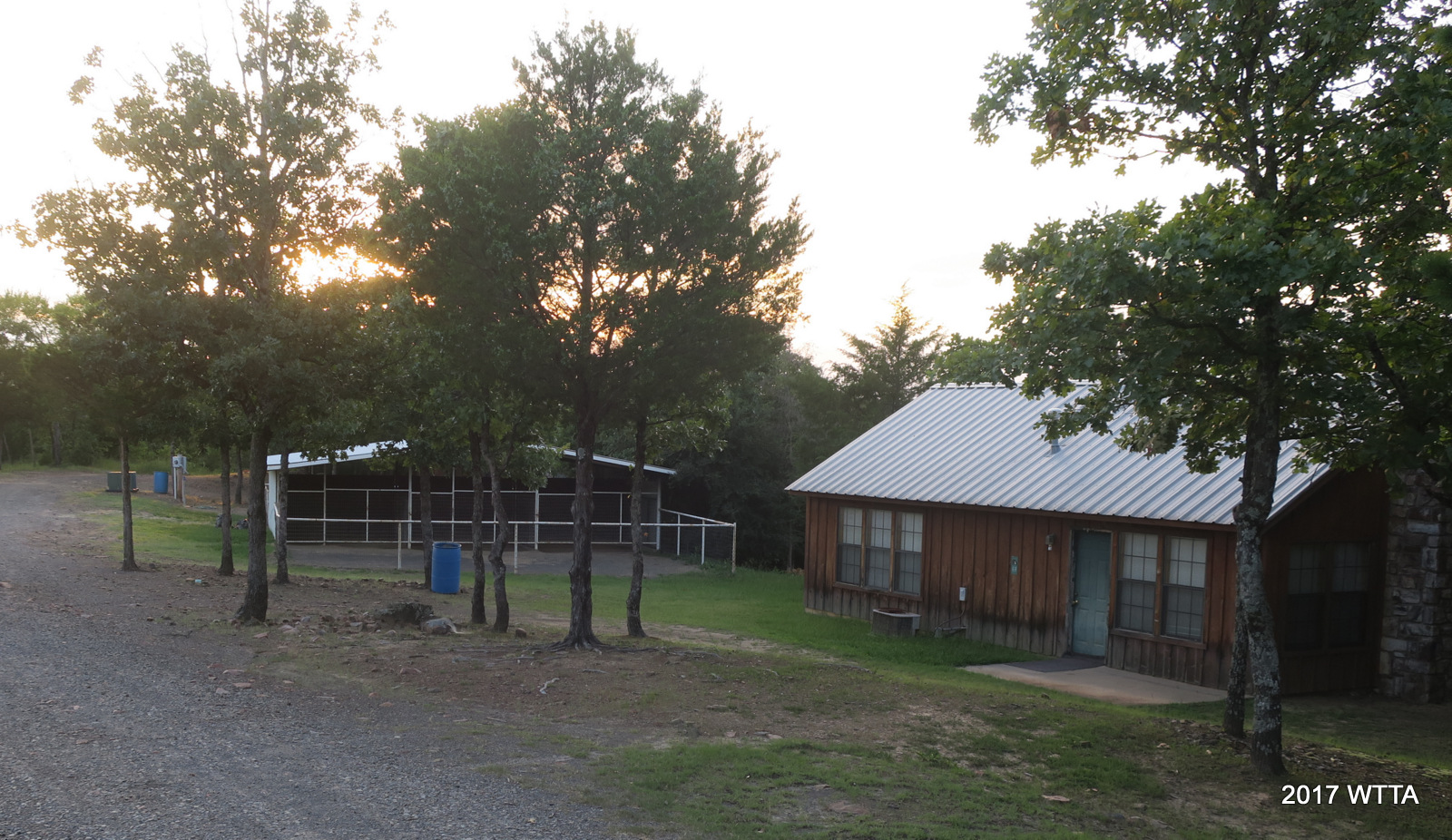
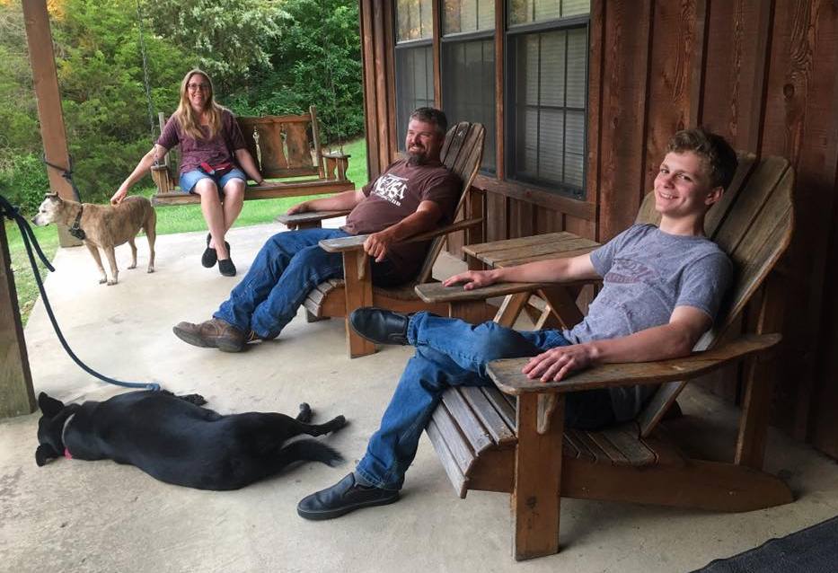
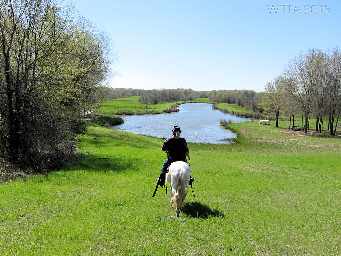
Cabins:There are six one to two bedroom cabins each with an adjacent covered 2 to three stall horse barn and attached open paddock. Cabins are fully stocked with bed linens, a full kitchen, living room, bathroom, fire place, covered back porch, grill, and fire pit. The cabins are cute and fairly spacious. The cabins have a nice covered back porch with a swing and chairs. Bring your own water buckets and hoses for your horses. Near the cabins and with in view of cabins 5-6 is a three acre pond stocked with catfish, bass, and perch.

Additional Facilities:
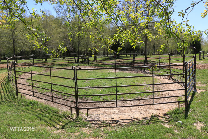
- Arena
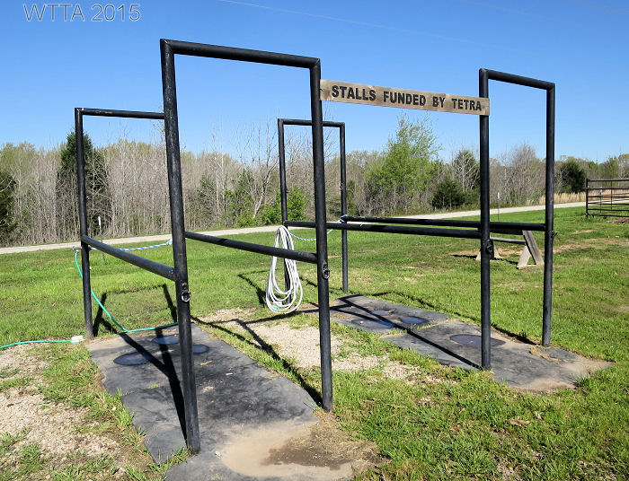
- Barn with enclosed box stalls available for an extra fee
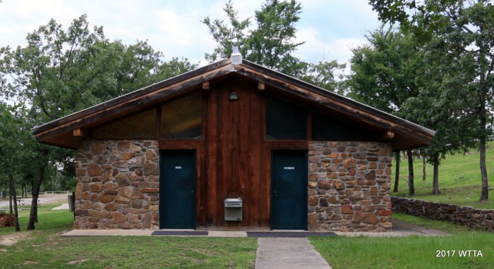
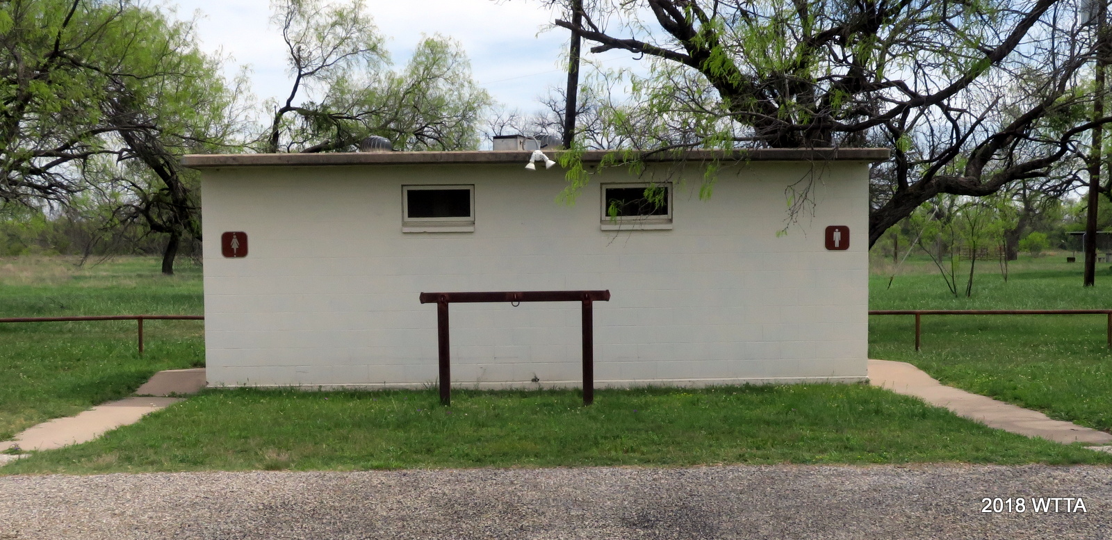
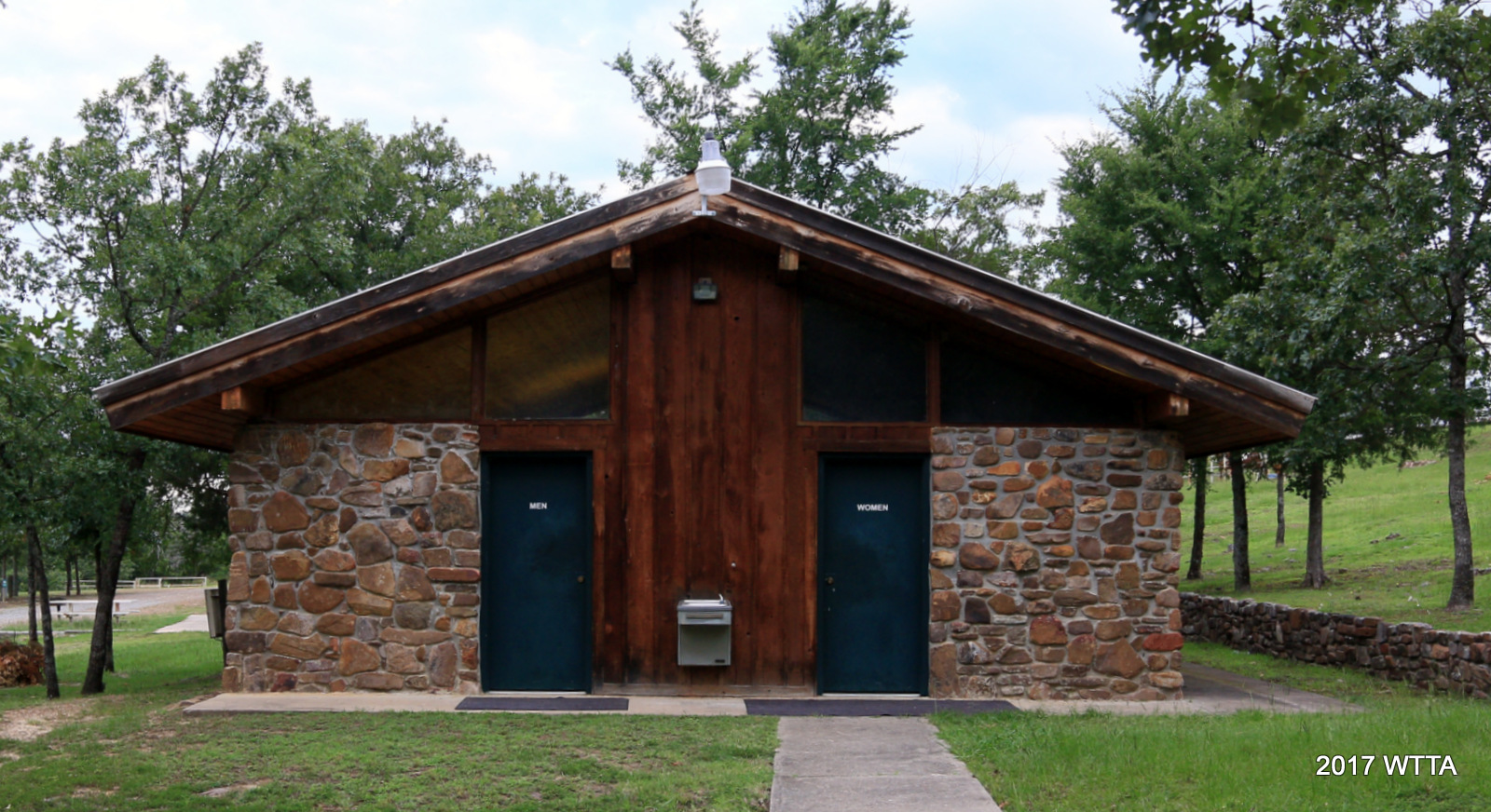
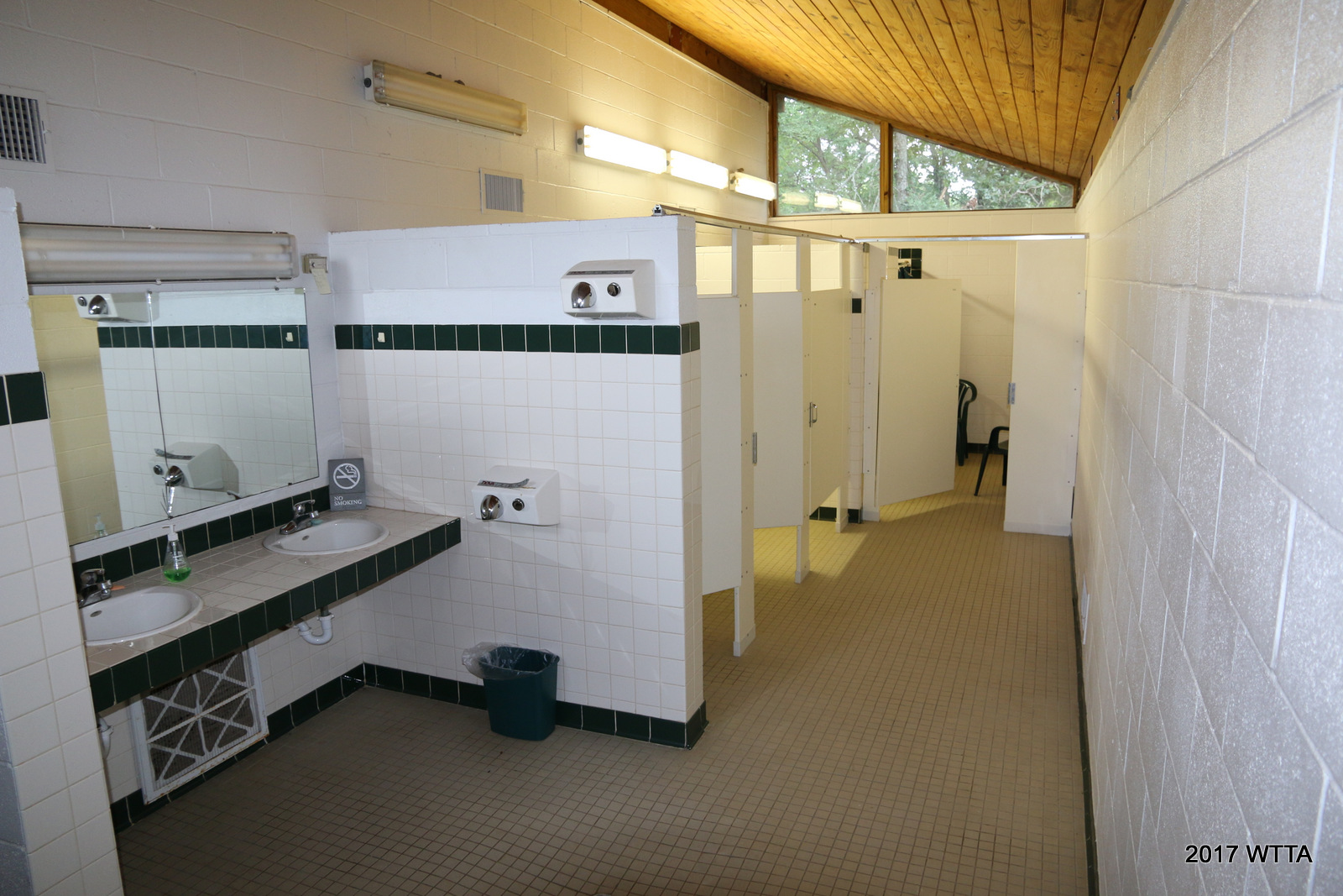
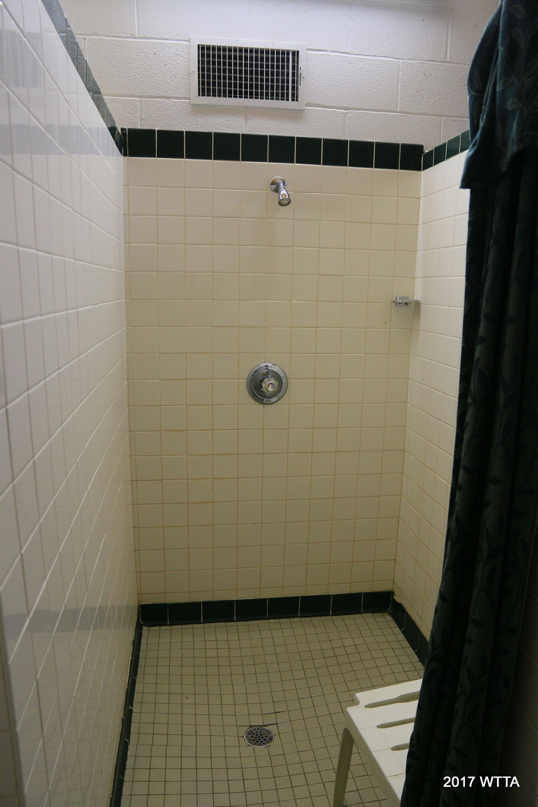
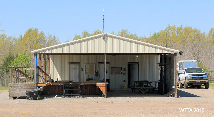
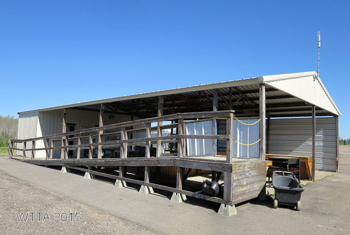
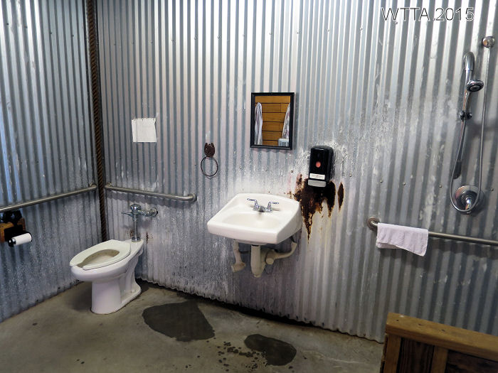
- Bath house with separate men’s and women’s sections to include three sinks, three toilets, and two showers (one is handicapped)
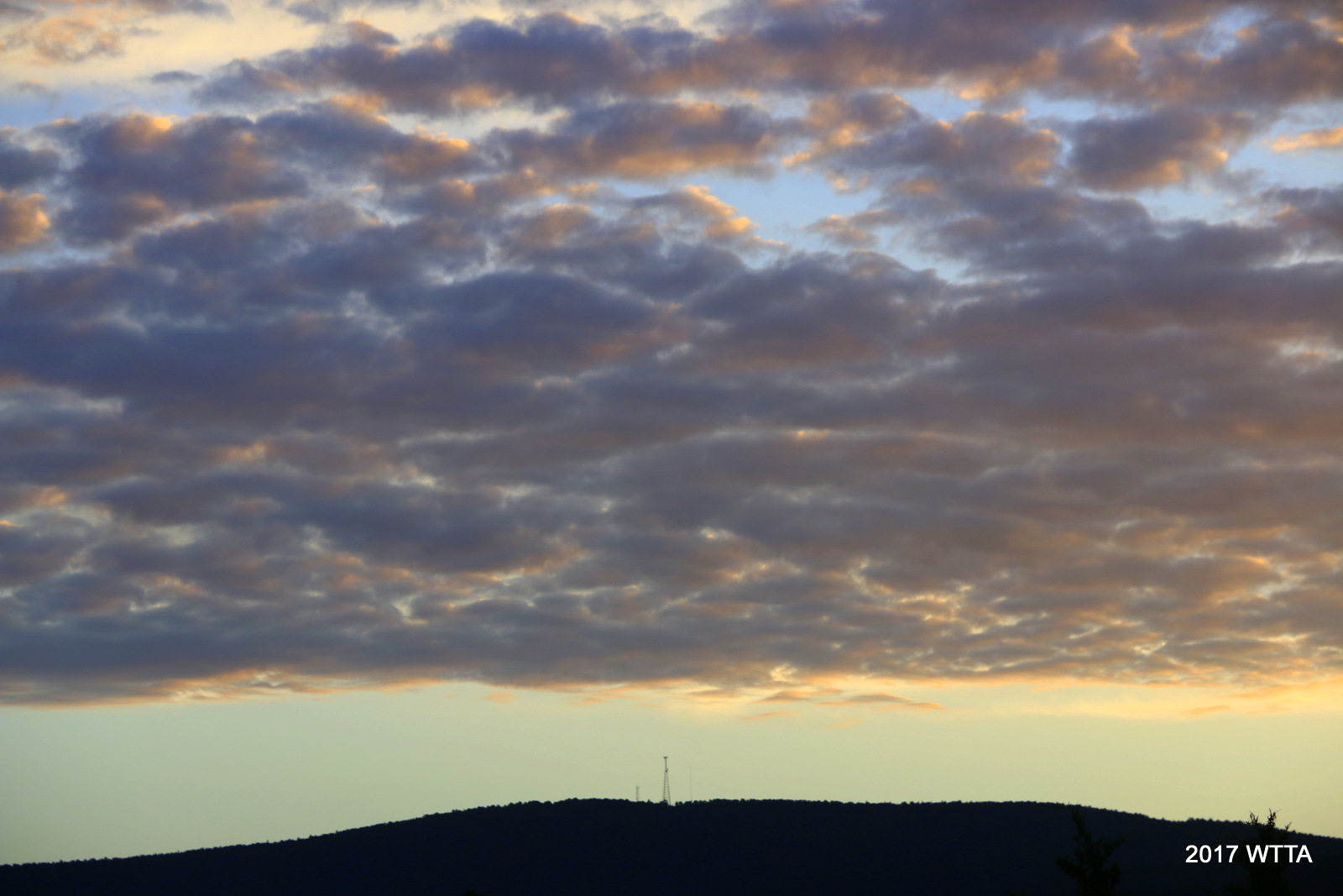
Cell Phone Service: My AT&T phone worked well in the campground and on the trail. You can see two AT&T towers on top of a hill at a distance north of the ranch.
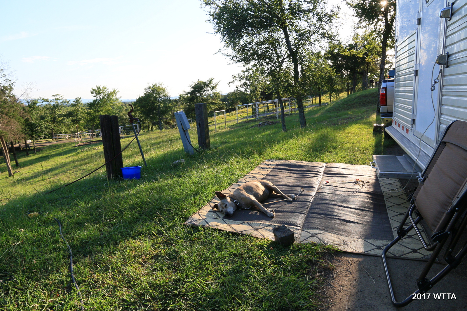
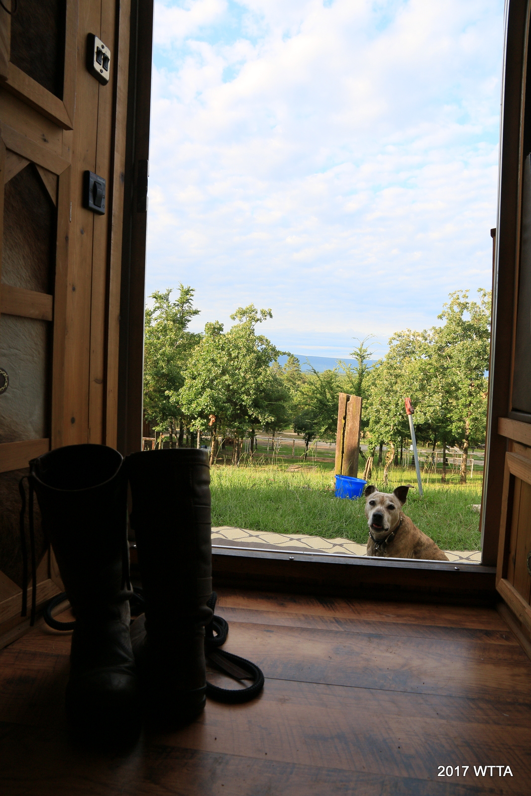
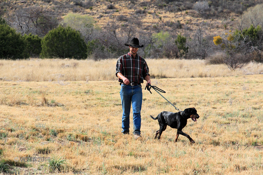
Dogs: Dogs are allowed but are to be on leash in the campground, however, they may go out on the trail with you. They are not allowed in the cabins.
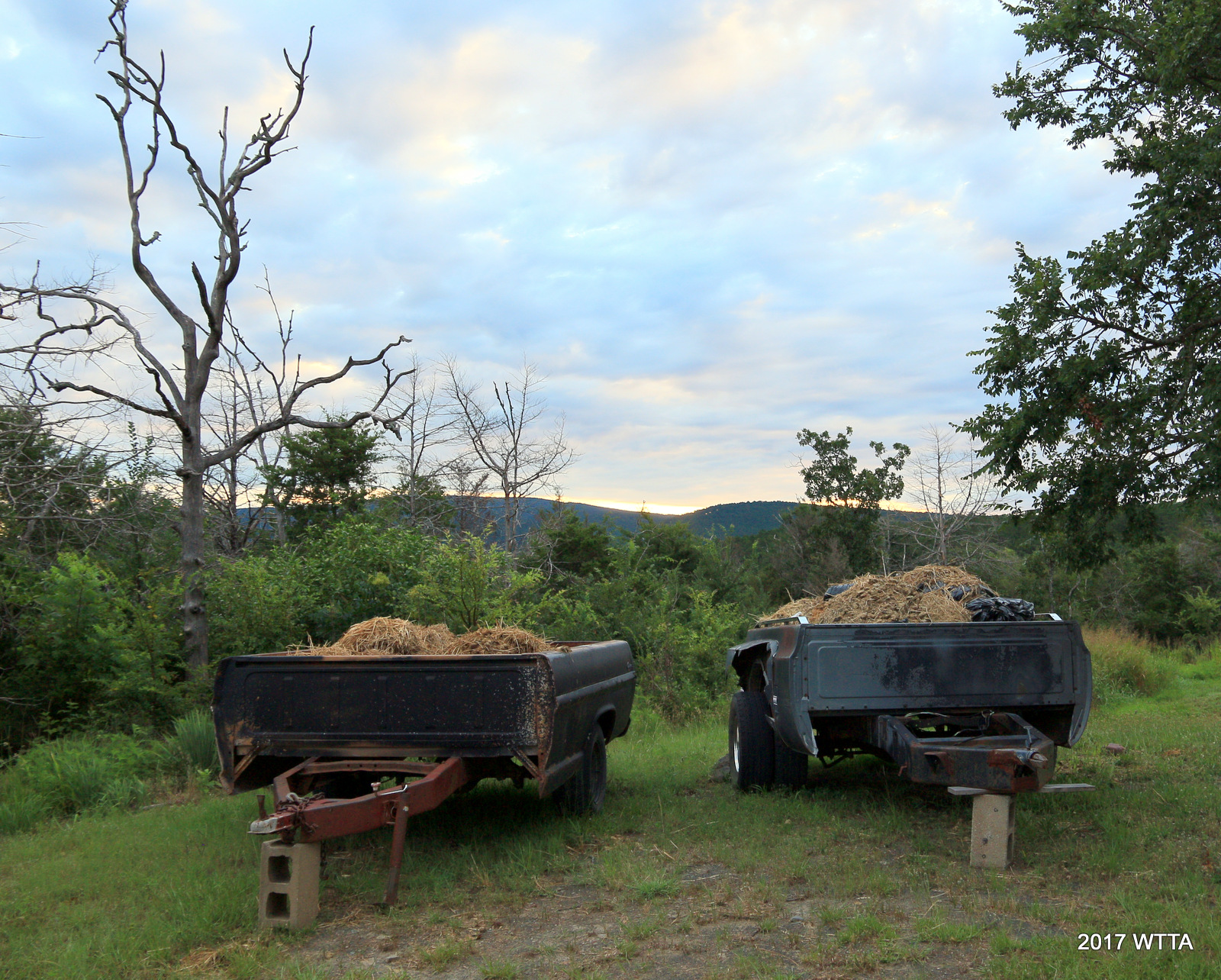
Manure Management: Bring a manure fork, muck bucket, and several strong trash bags. You will need to bag the manure but can leave the bags to be picked up. There are also two truck beds on the north side of the RV camping area that manure can be put in.
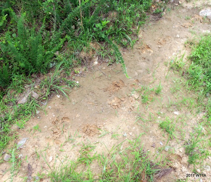
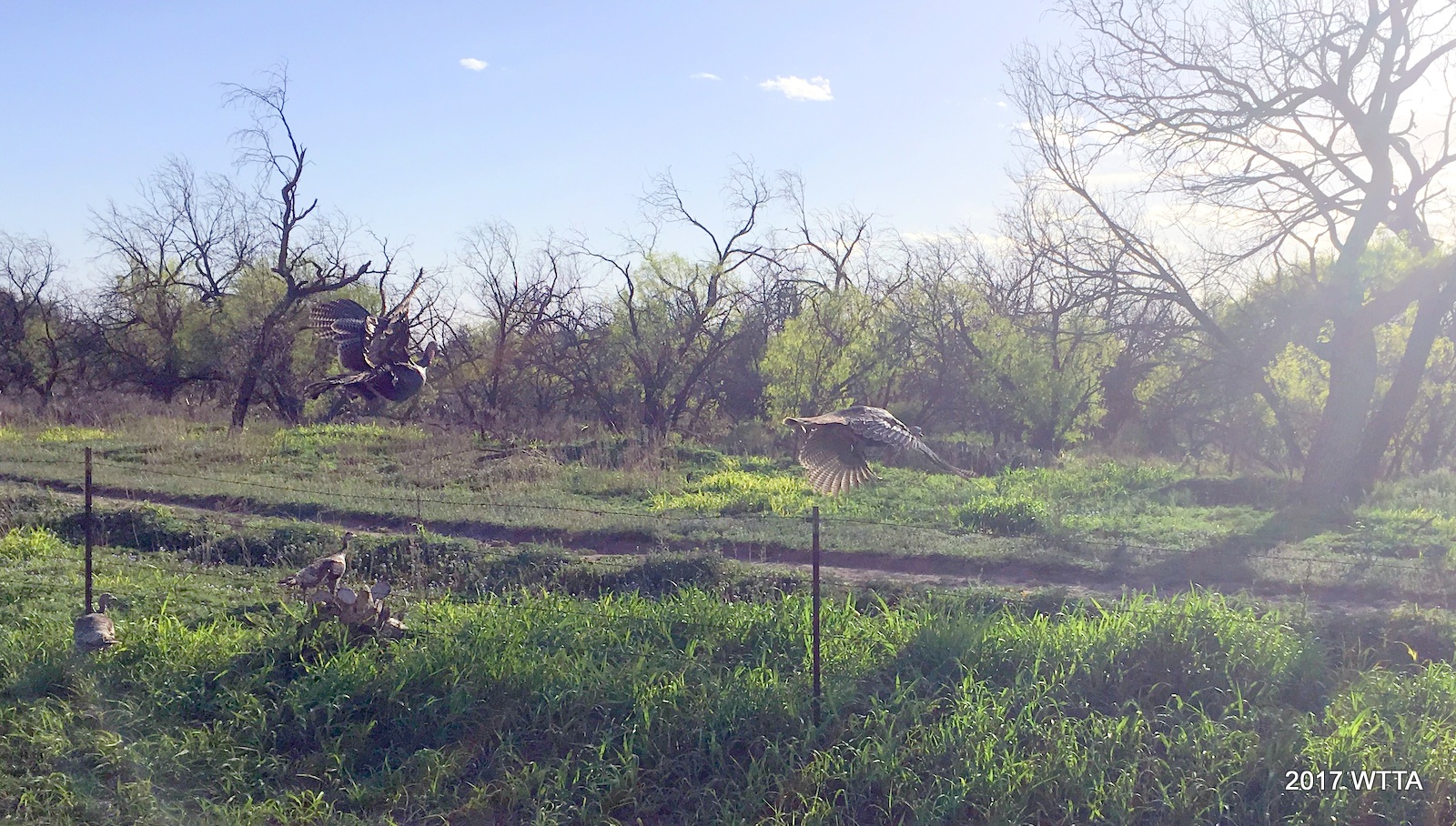
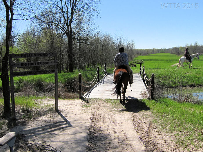
Tracks pointed out by one of our NETASA riders, Curtis. Are they bear tracks?
Trail Users: Equestrians, bicyclist, hikers, and motorized vehicles in some areas of the National Forest share the trails/roads. I did see signs on the CNT (Comanche Nation Trail) specifying ATVs allowed on one trail and ATVs not allowed on other trails. We also crossed paths with one ATV and one truck on the back roads of the forest. I saw several tire tracks on trails. We also saw what appeared to be bear tracks.
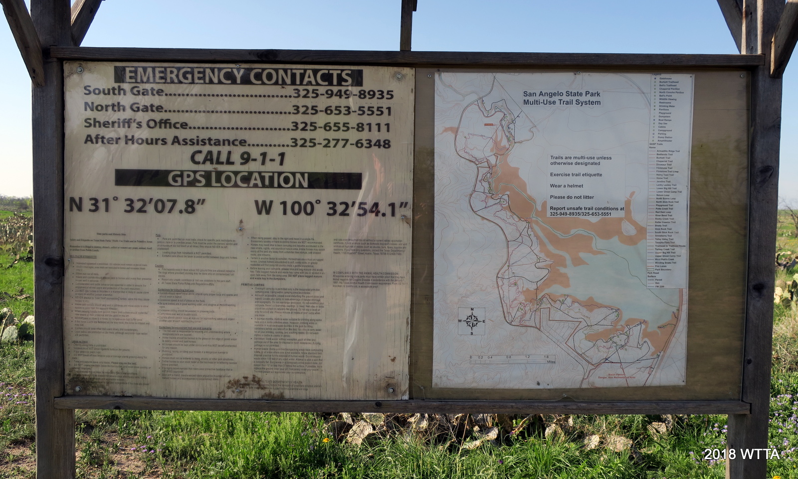
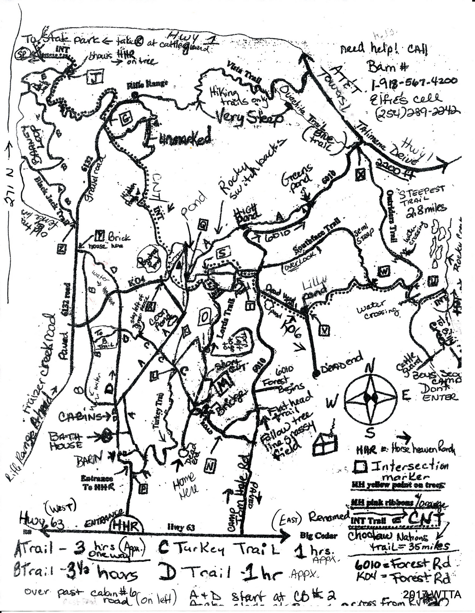
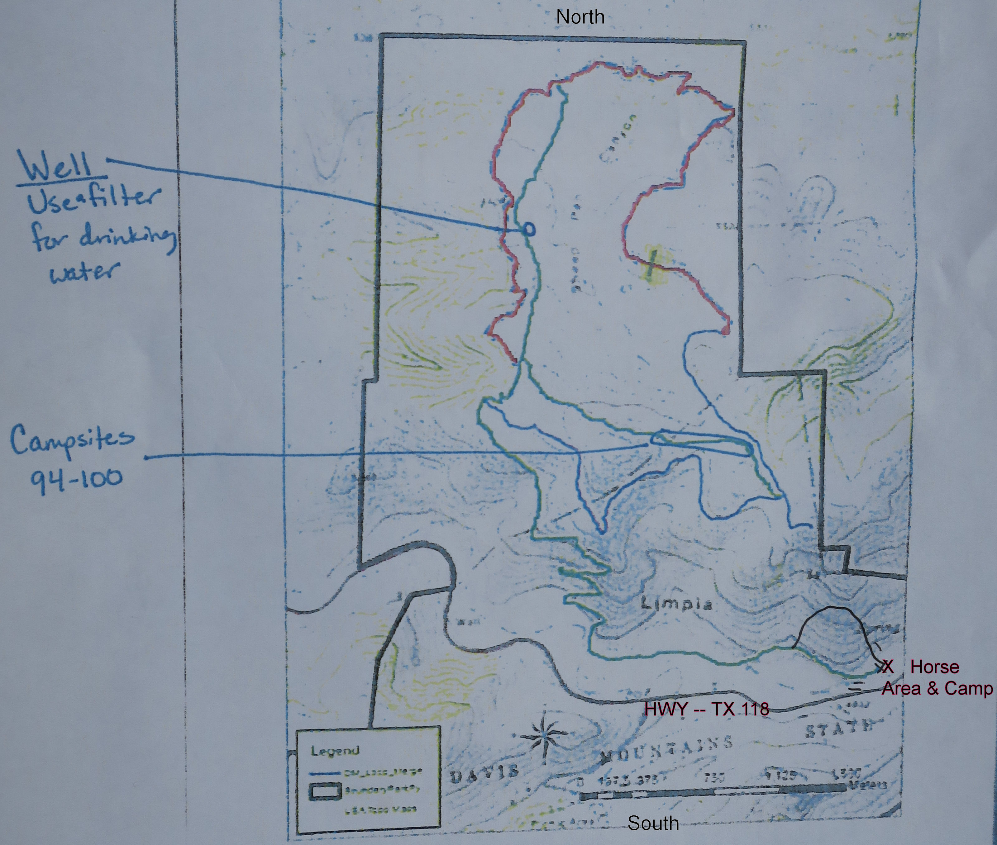
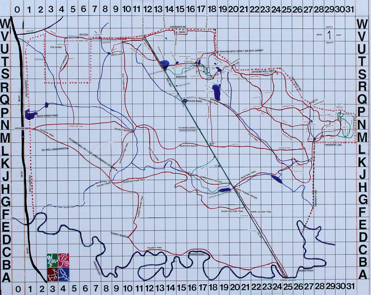
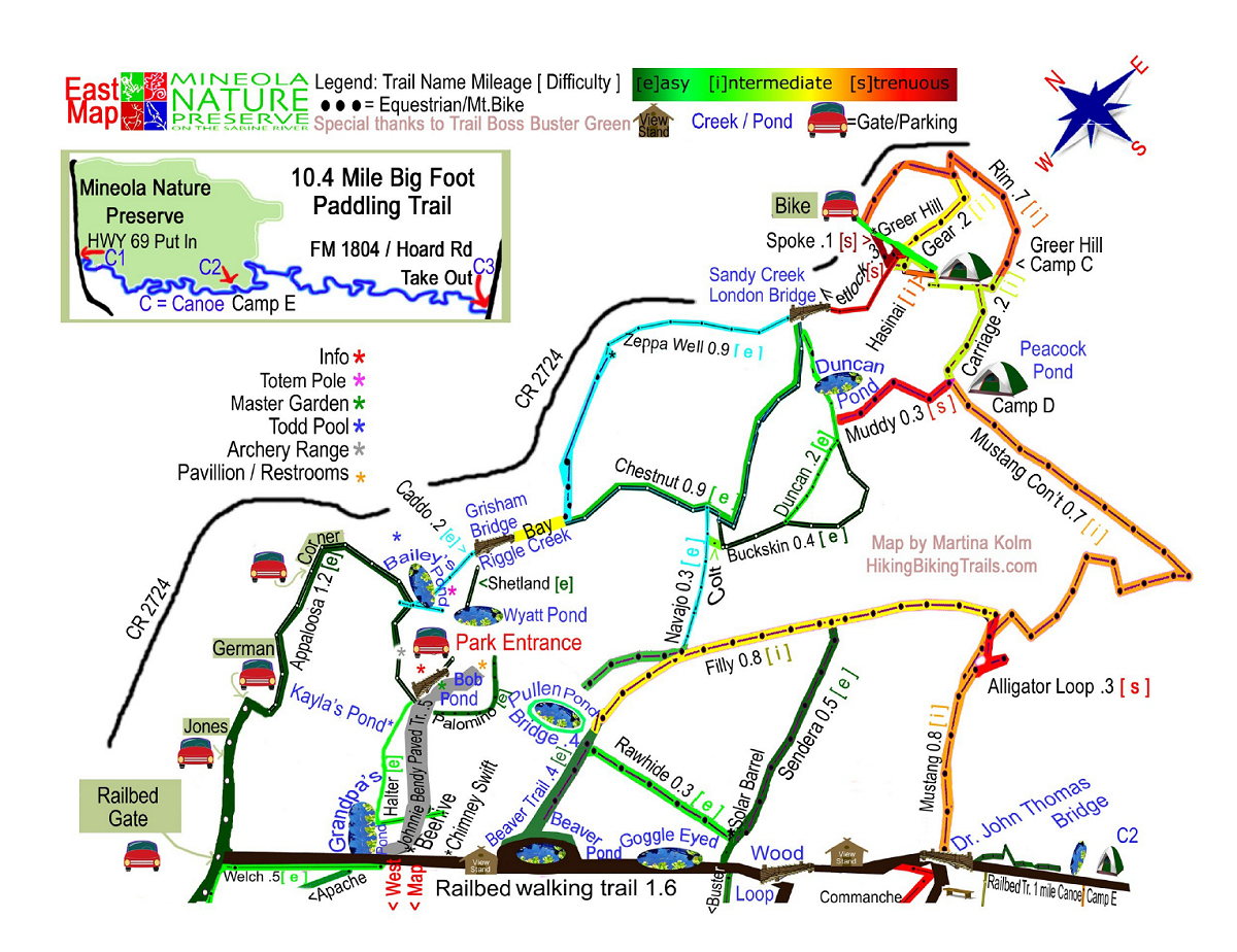
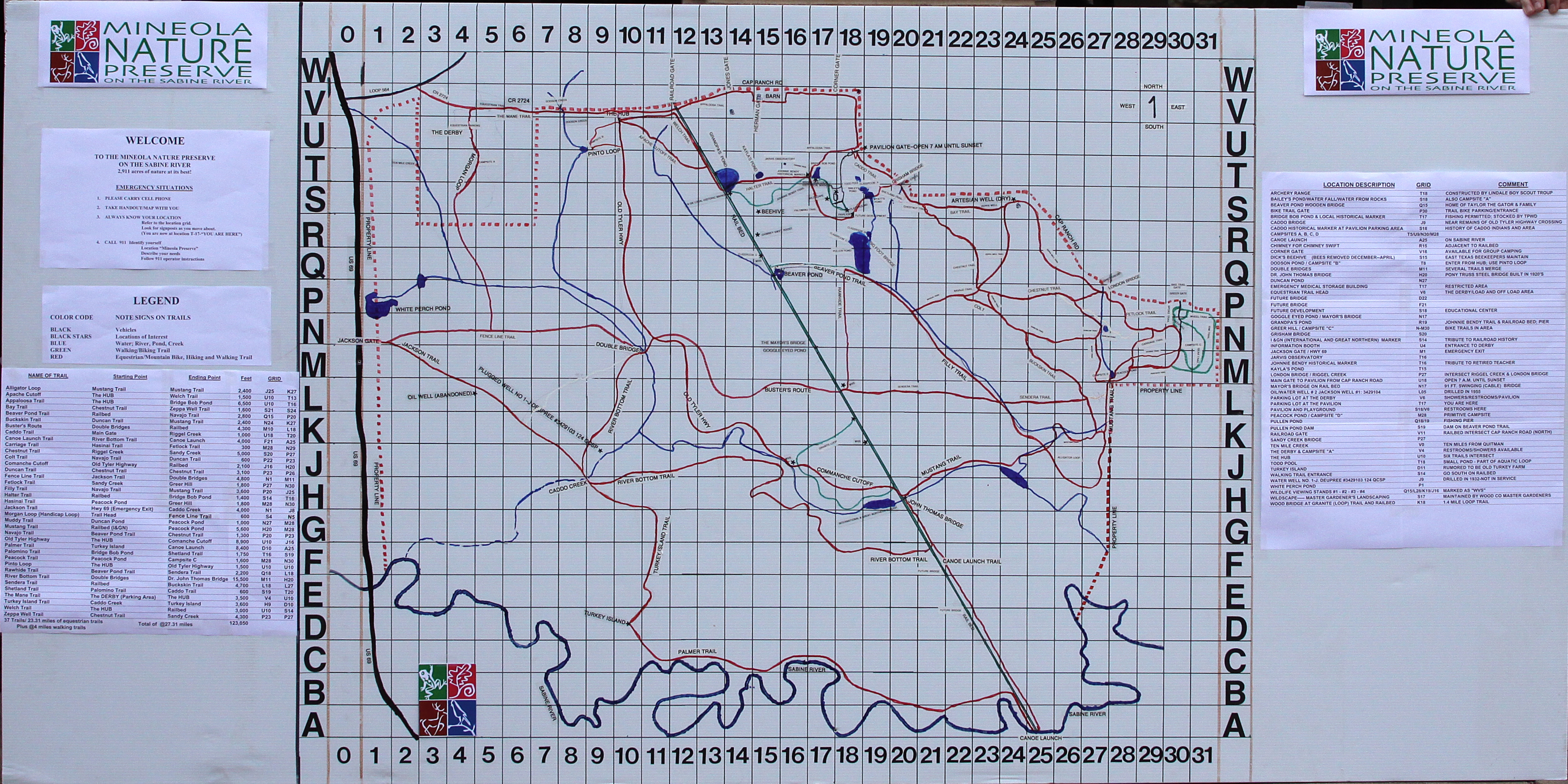
Map: Elfie will provide a copy of a hand drawn map to each person. Elfie also went over the map with us, giving us good ideas of where to ride and the current conditions of the trails. On my last day at the park, Elfie helped me pick out a route that was fairly simple, since I’d be riding on my own, and she was available by phone for me to call if I had questions while out on the trail. Since the map is hand drawn, it is a little hard to read and confusing. The map could stand to be updated but it is still useful. This part of the national forest is bordered to the west, north, and south by roads, and the east has several land marks such as houses and a boy scout camp; making it easier to navigate your way.
Mileage: The ranch advertises over 100 miles of trails which is highly likely since the ranch provides access to the Ouachita National Forest. There are several trails not listed on the map provided by Horse Heaven, which are not too far from the Horse Heaven Camp. Only a section of the CNT (Choctaw Nation Trail, formerly known as the INT, Indian Nation Trail) is shown on this map as it goes further east and west.
Check out this website to learn more about trails in the Ouachita National Forest area: www.ouachitamaps.com
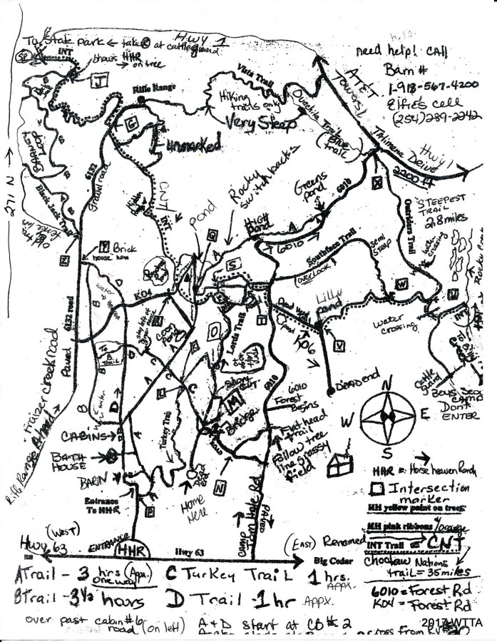
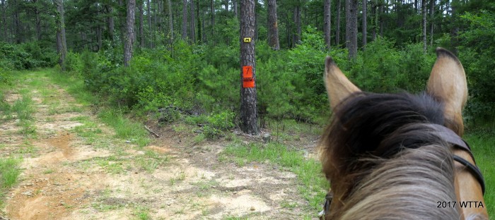
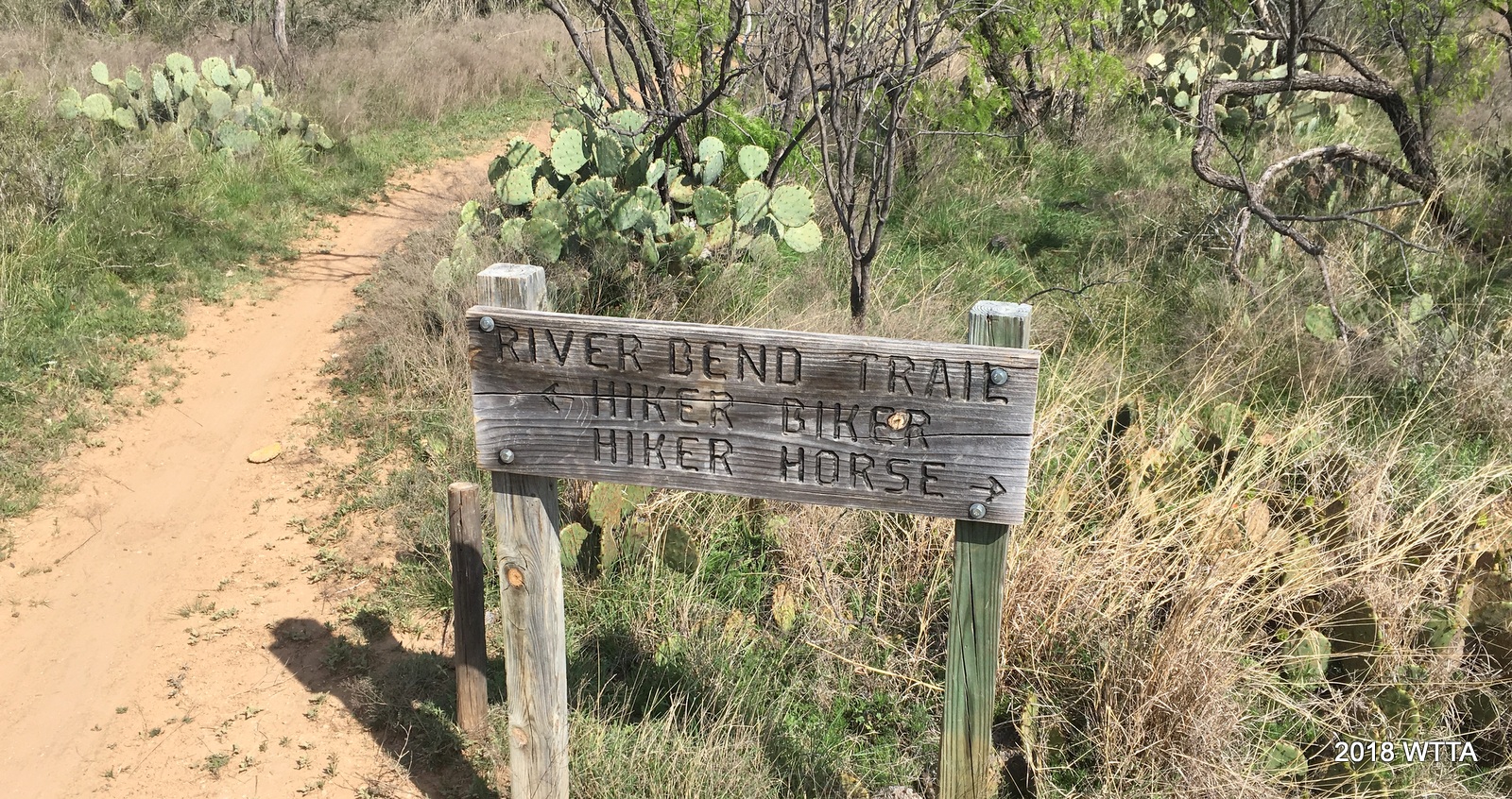
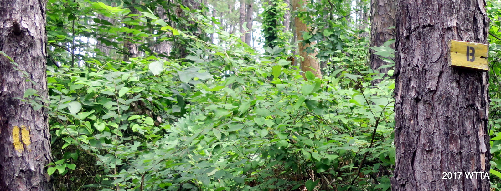
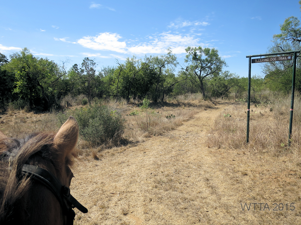
Trail Markers: The trails are marked by small yellow wood signs nailed to the trees, yellow paint on the trees, and also by pink and orange ribbons. It can be easy to miss the small wood signs on the trees if you don’t look close enough and there is not always a trail marking at all intersections. The map has letters in a box at intersections which correspond with letters at the intersections on the trail. The Forest Service has cleared paths with red signs and their own letters which are not on the map and this can get confusing. Elfie said that these forest service paths are mostly for forest work and fire breaks. She said you can ride these paths if you want to, but they are not on the map and have nothing to do with the Horse Heaven Ranch.
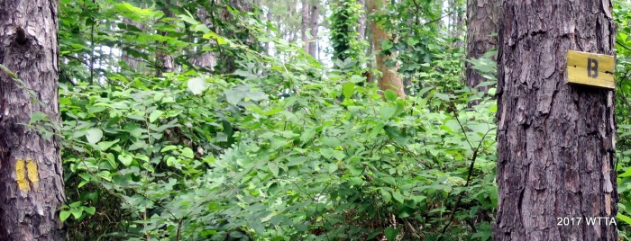
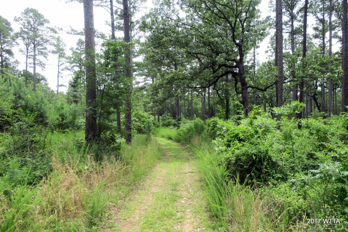
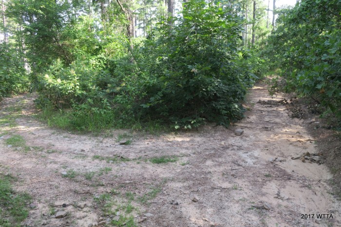
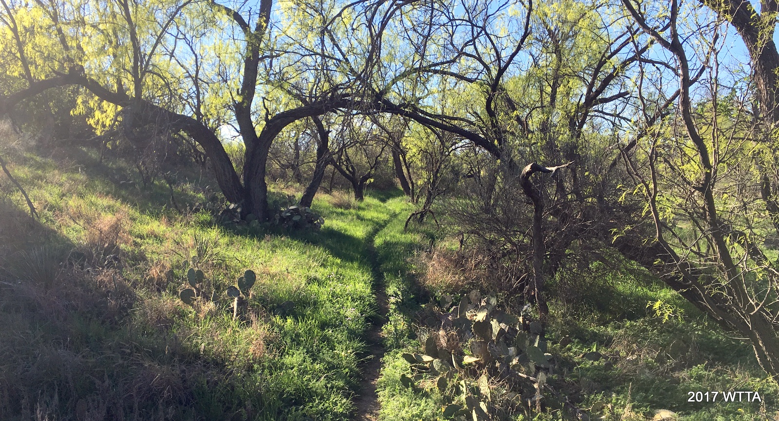
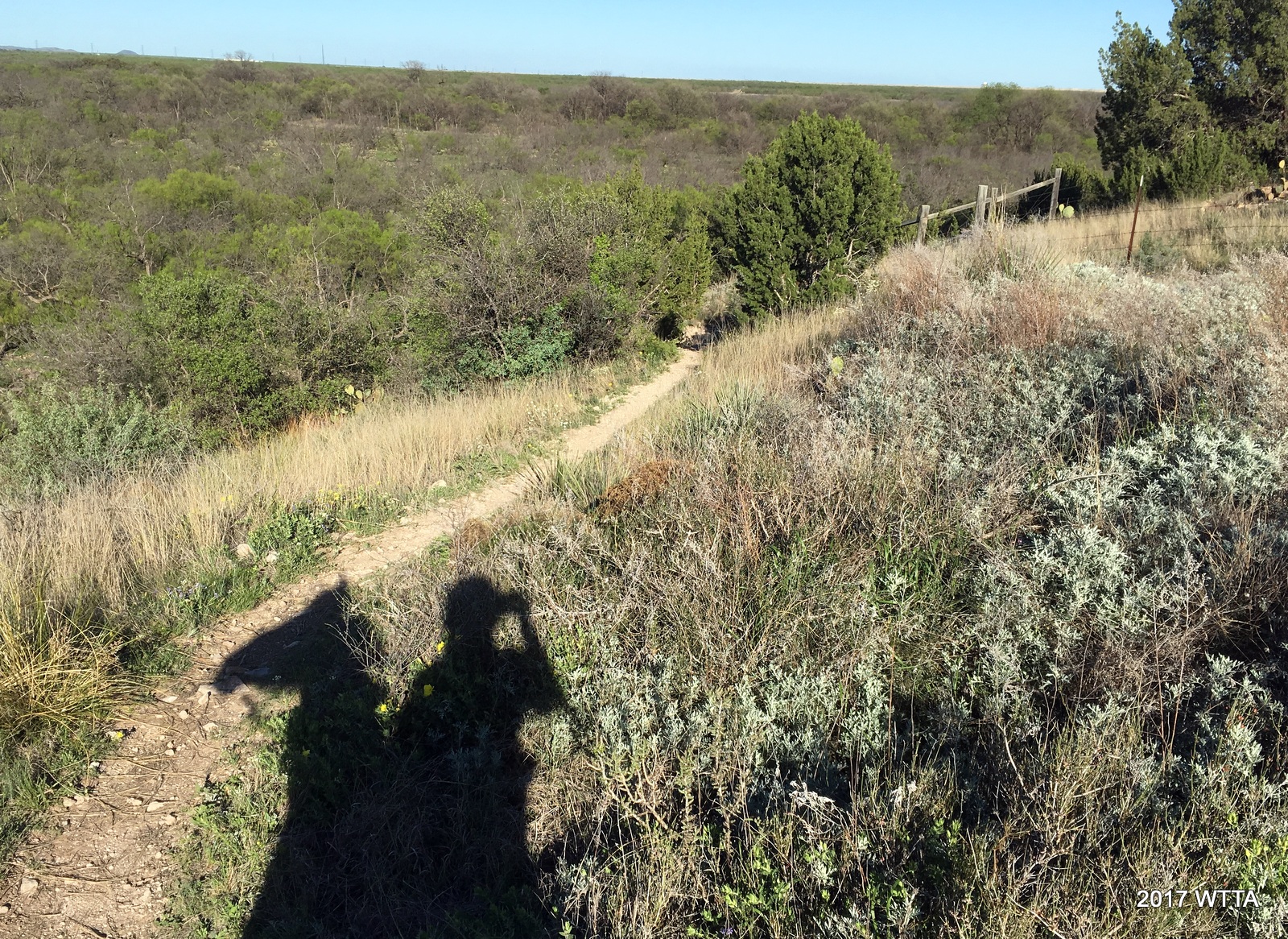
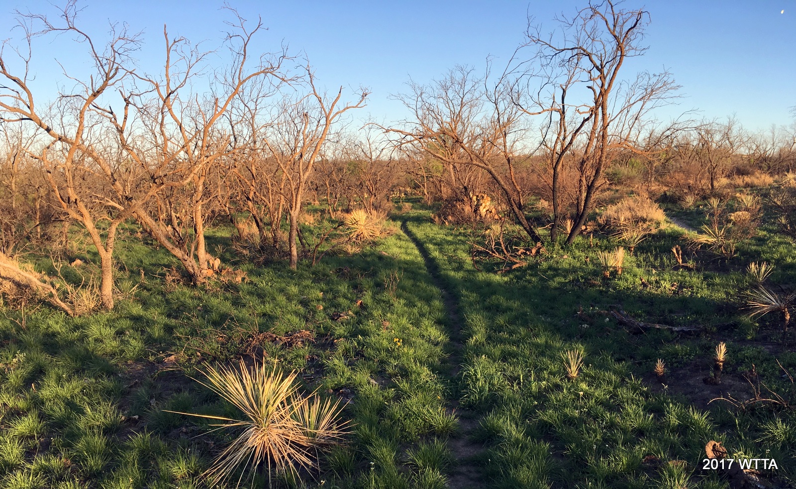
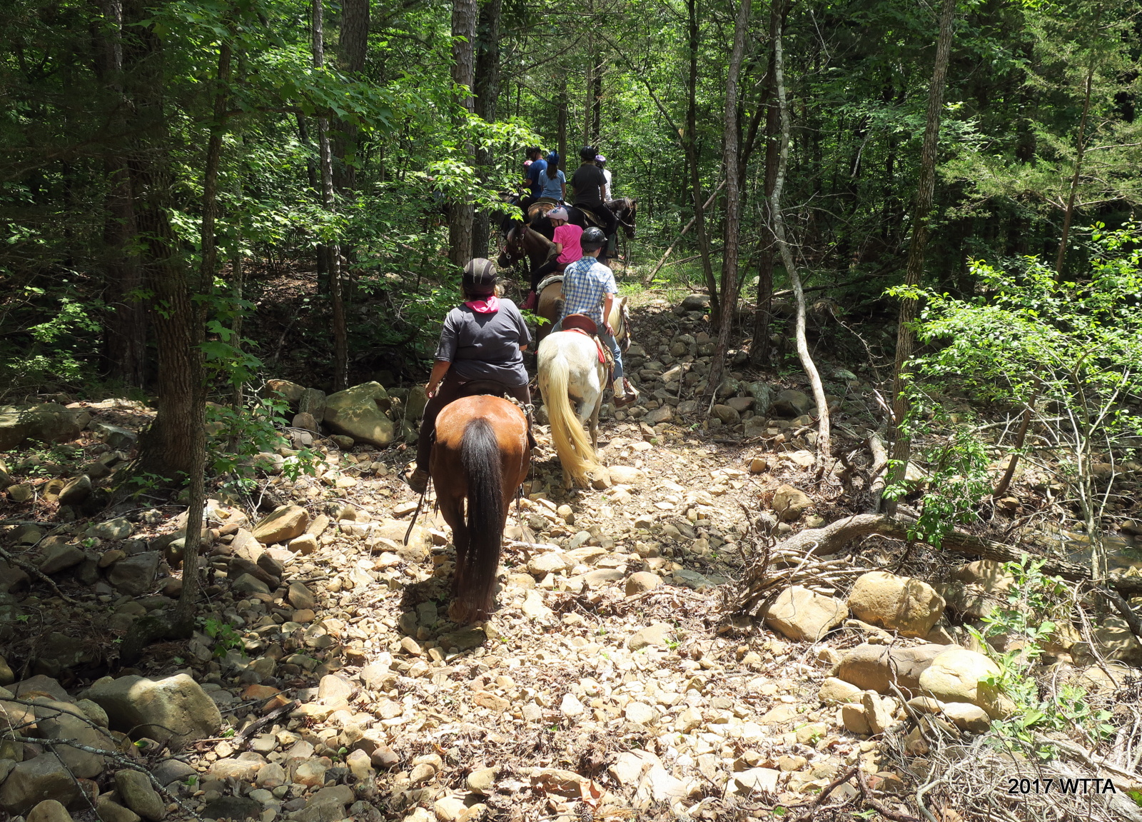
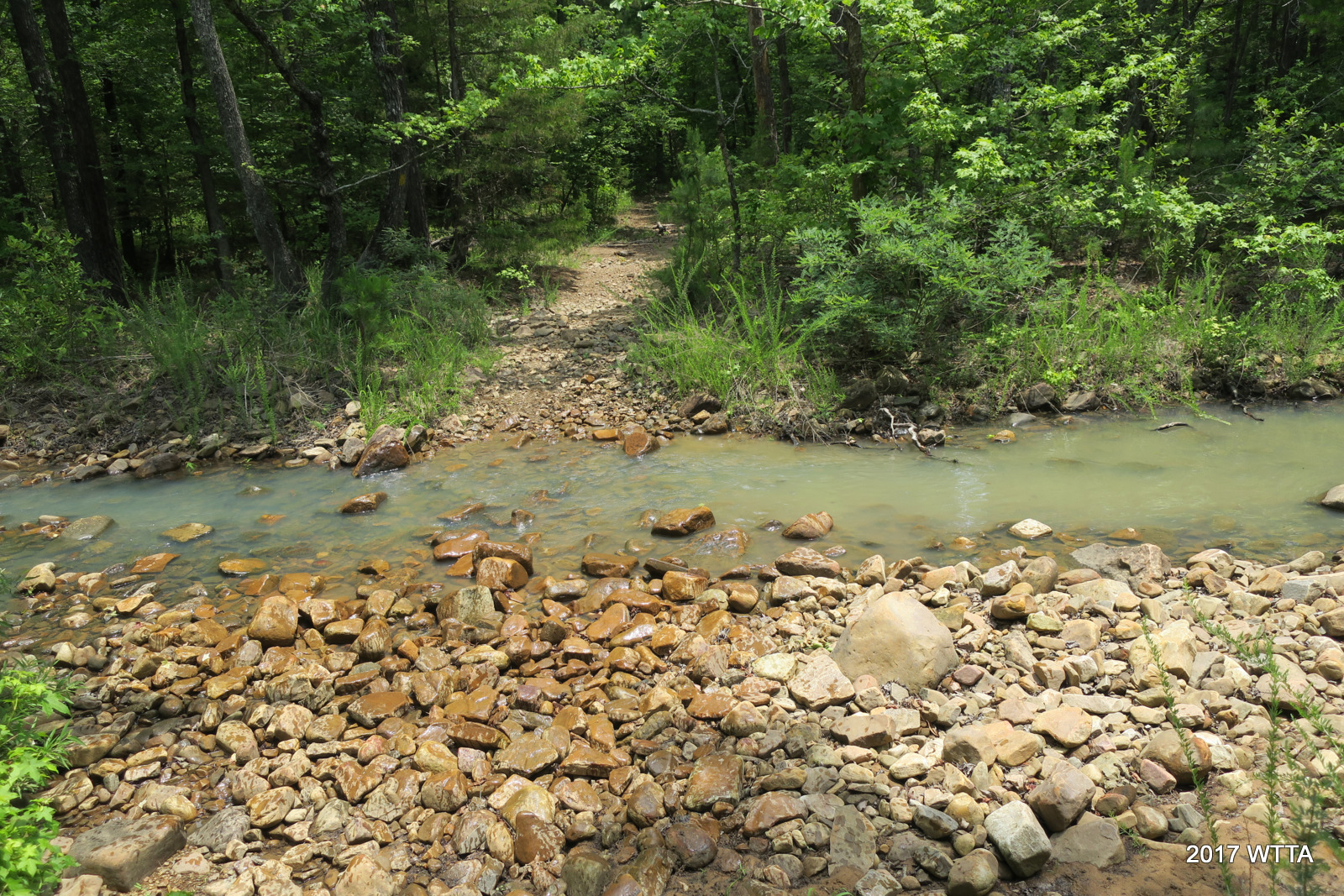
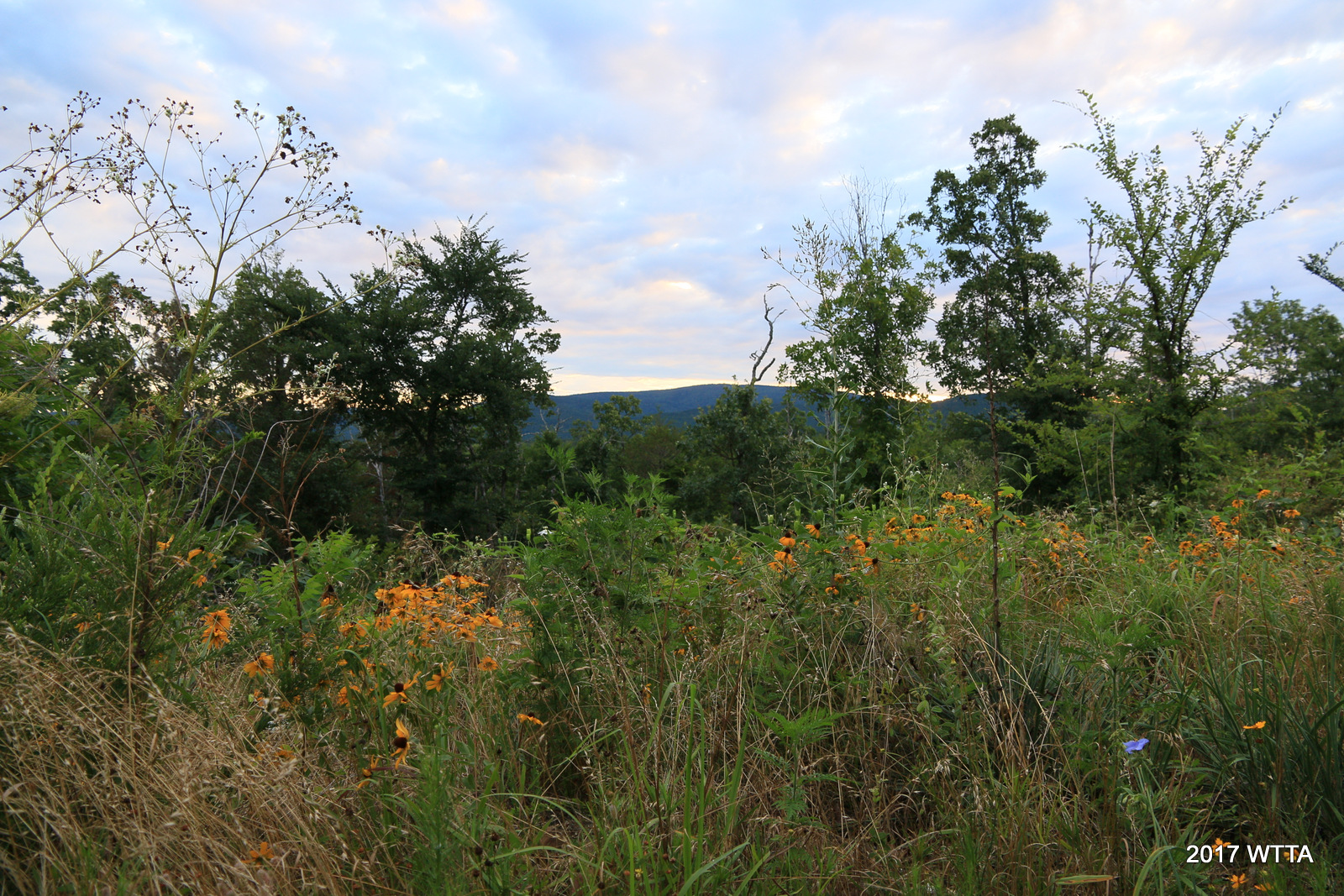
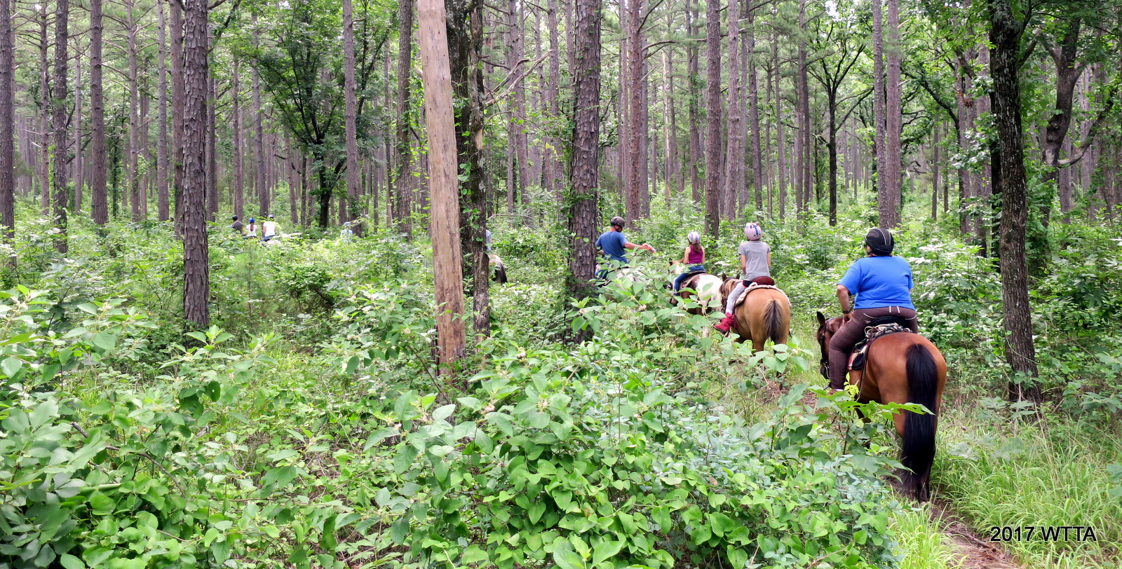
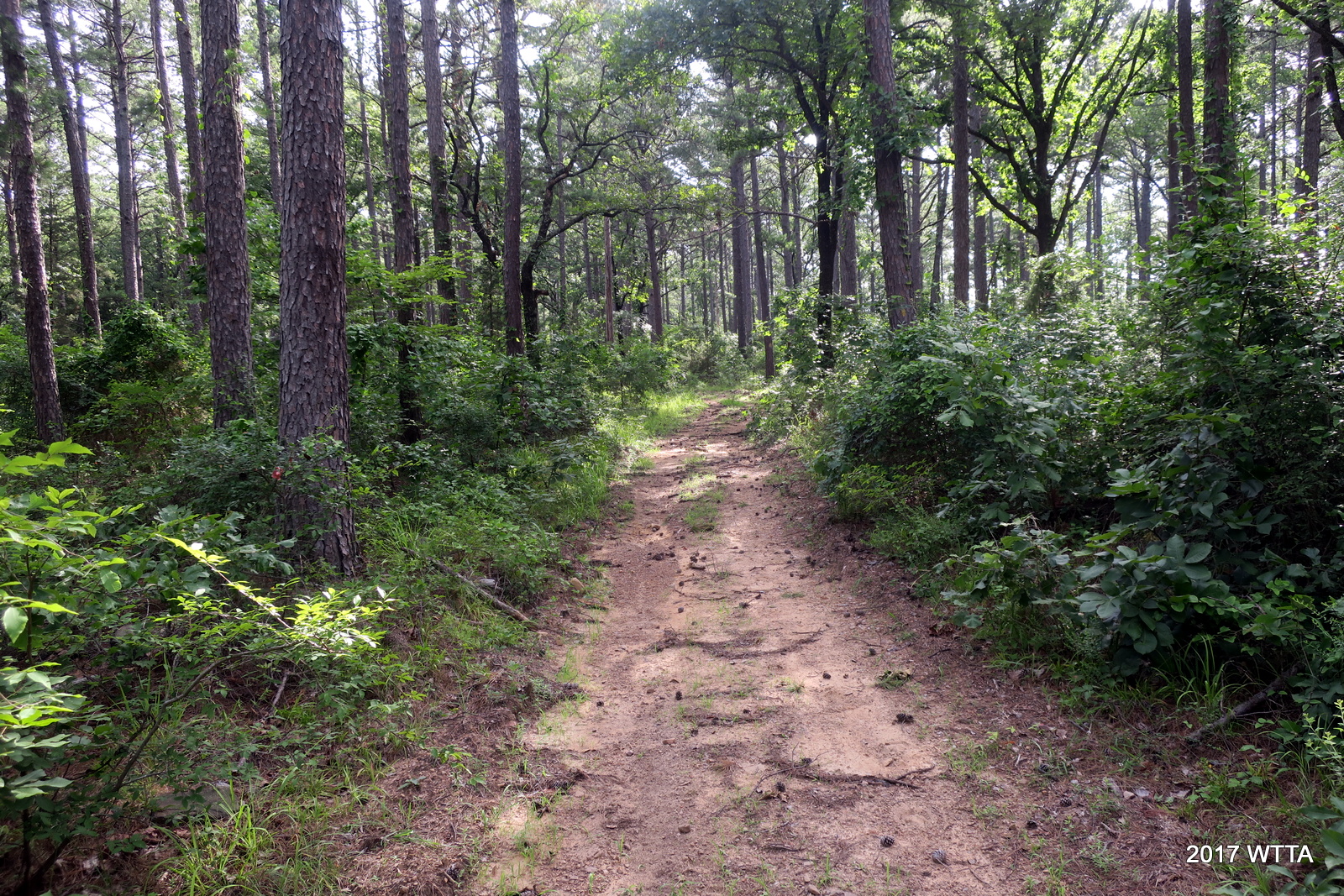
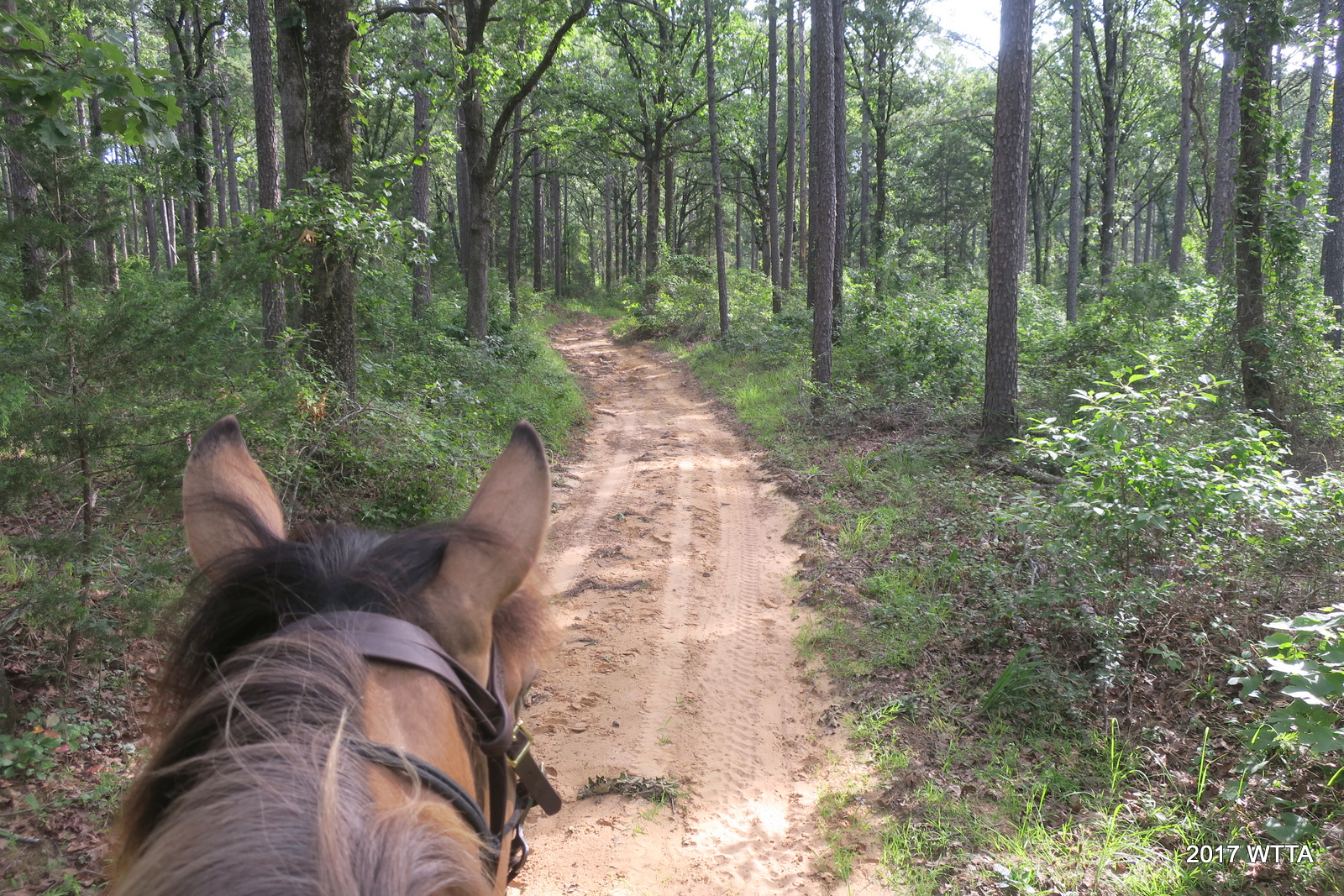
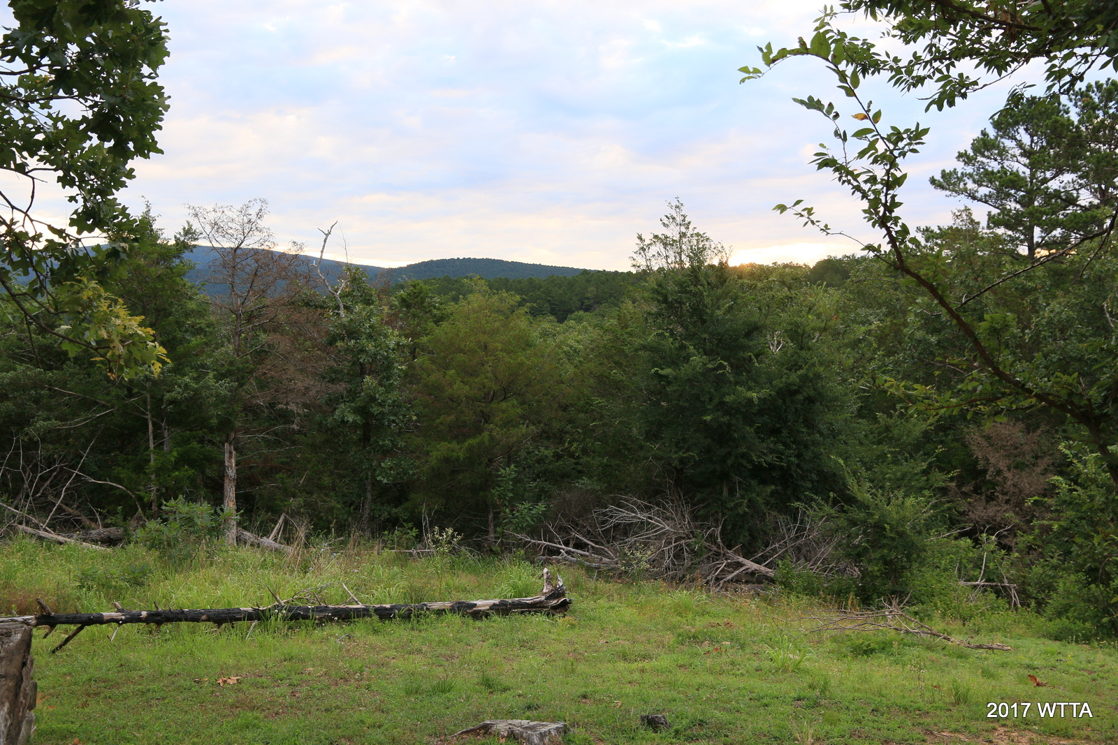
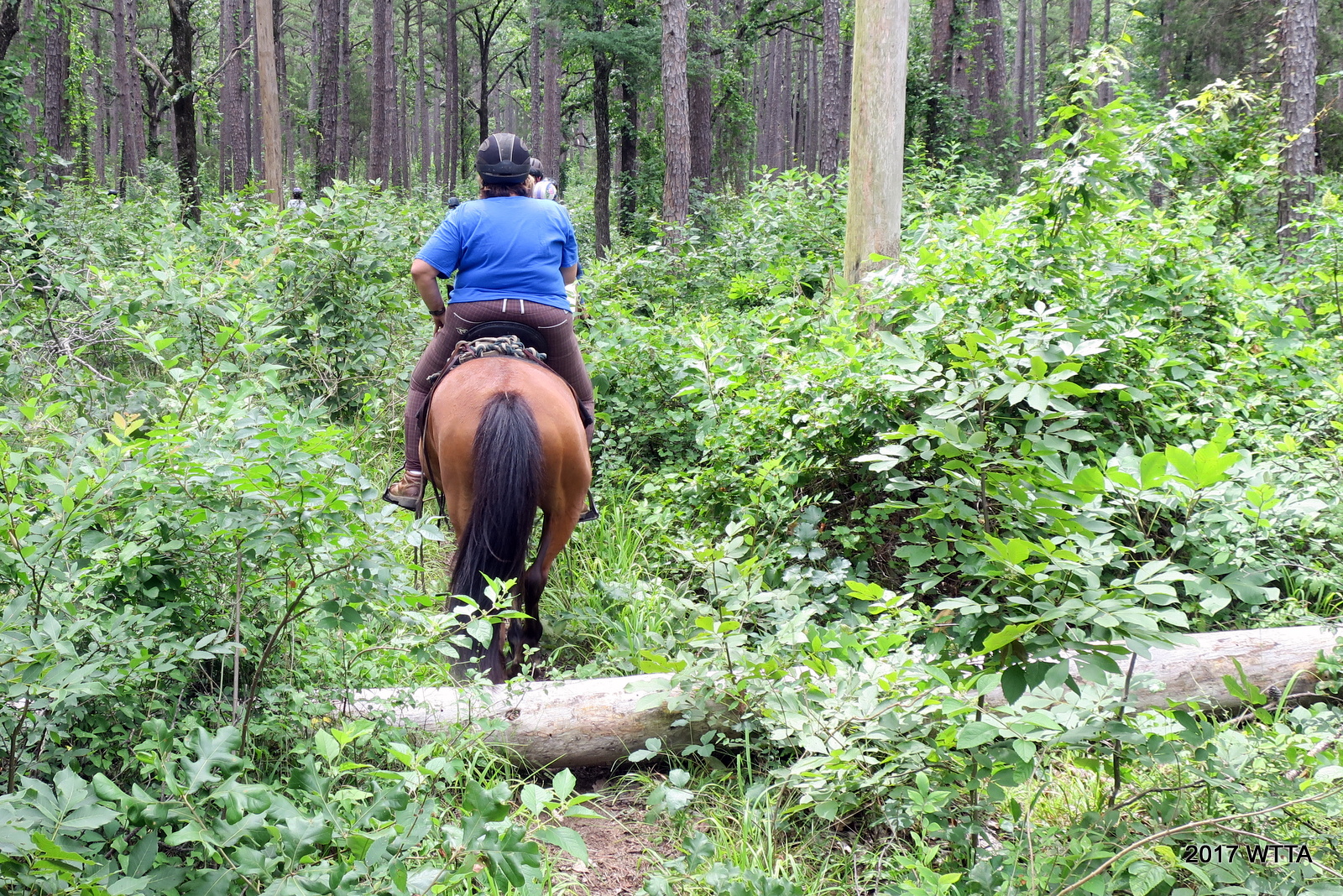
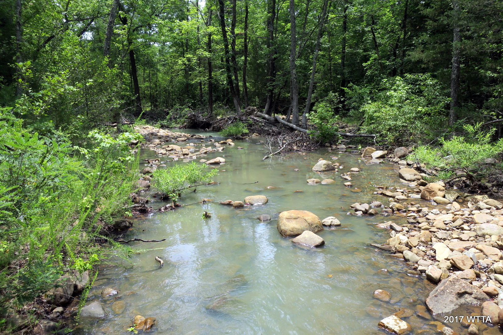
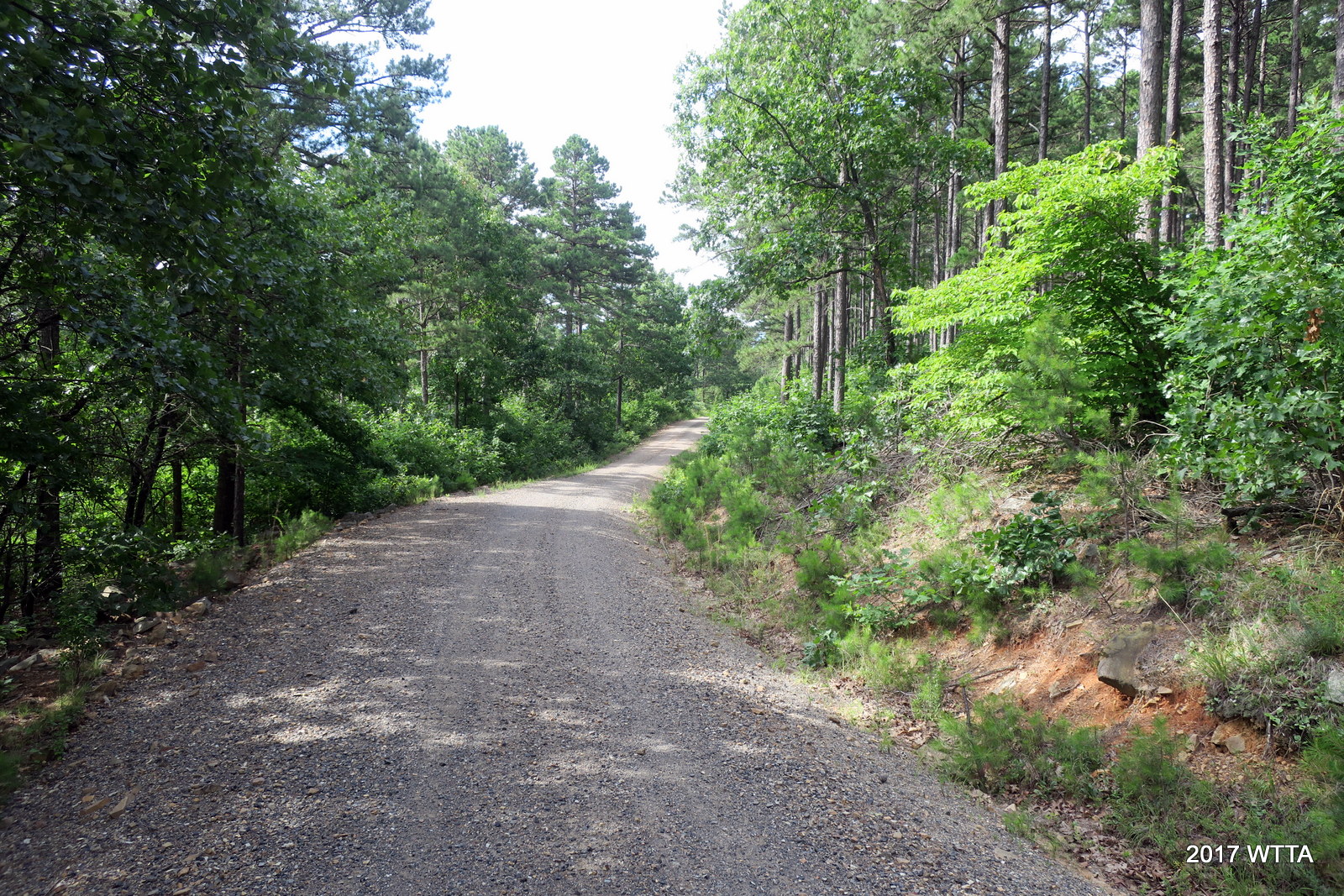
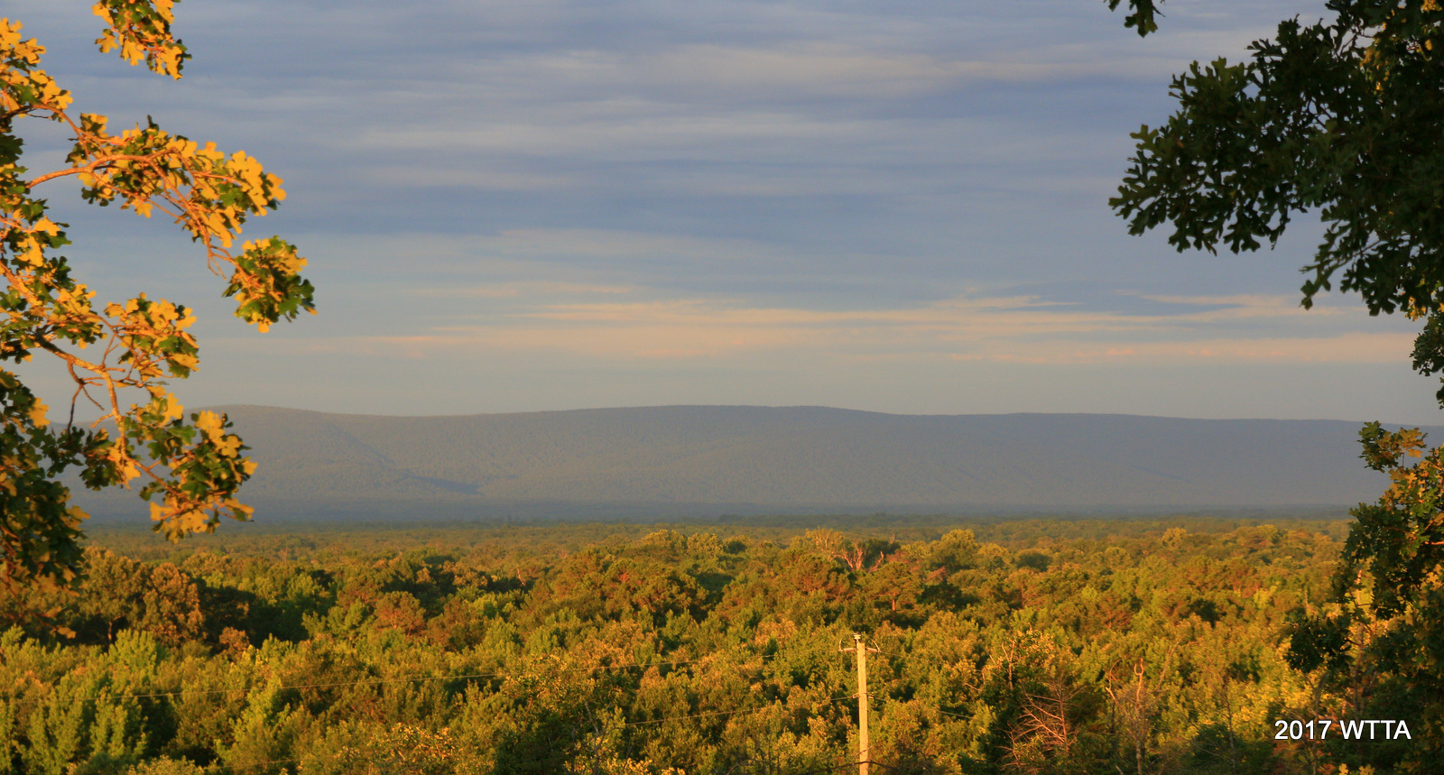
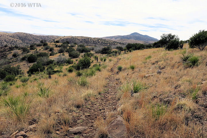
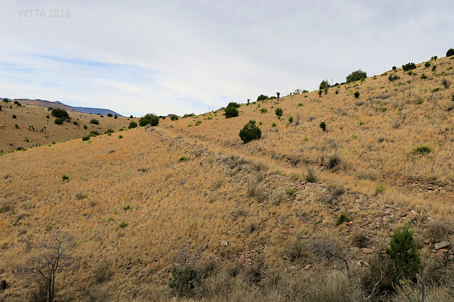
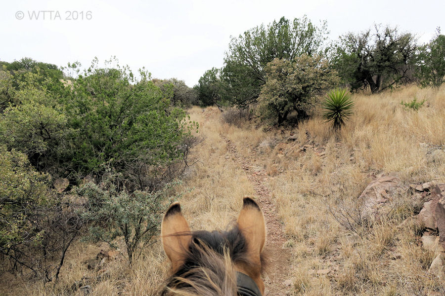
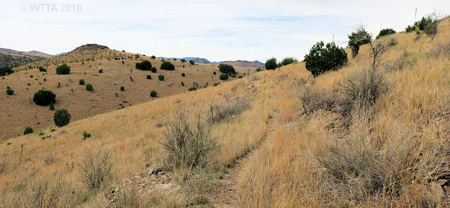
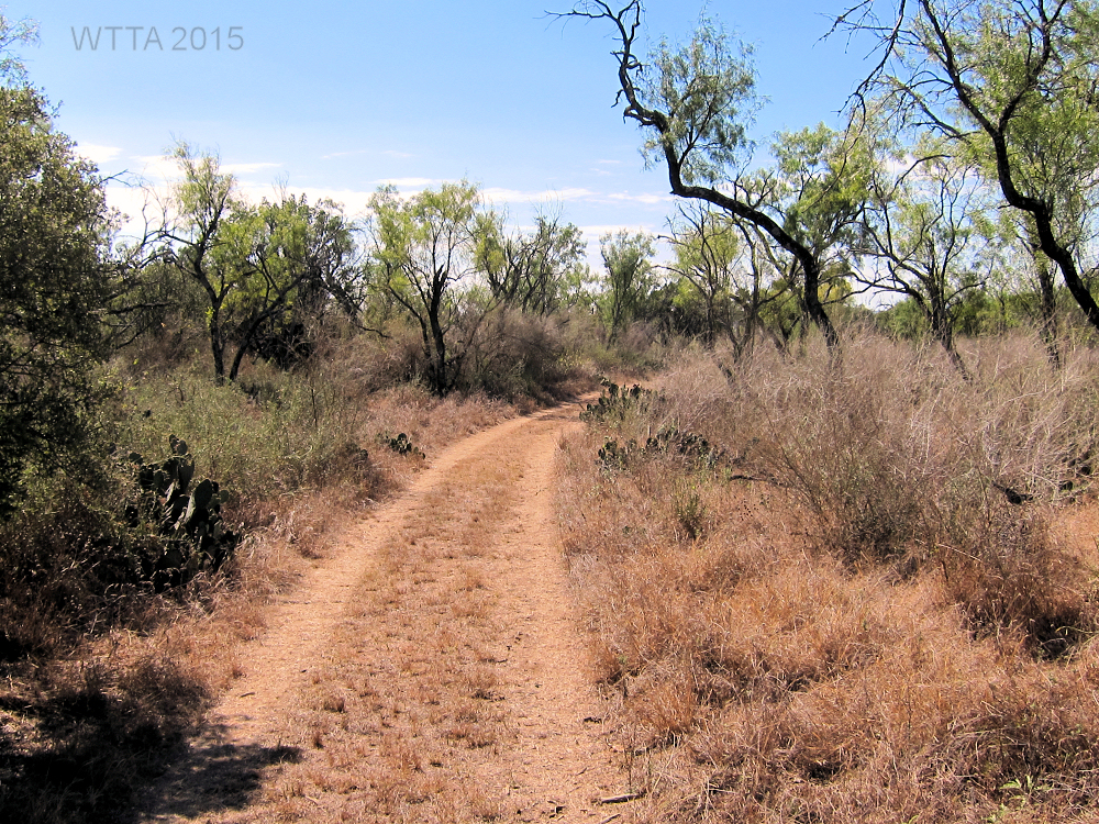
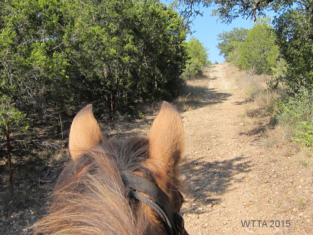
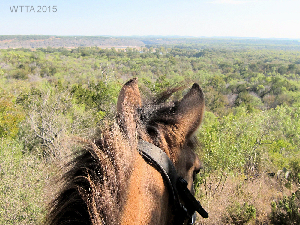
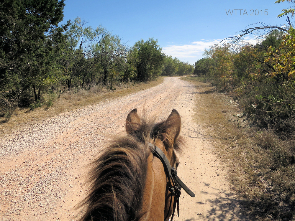
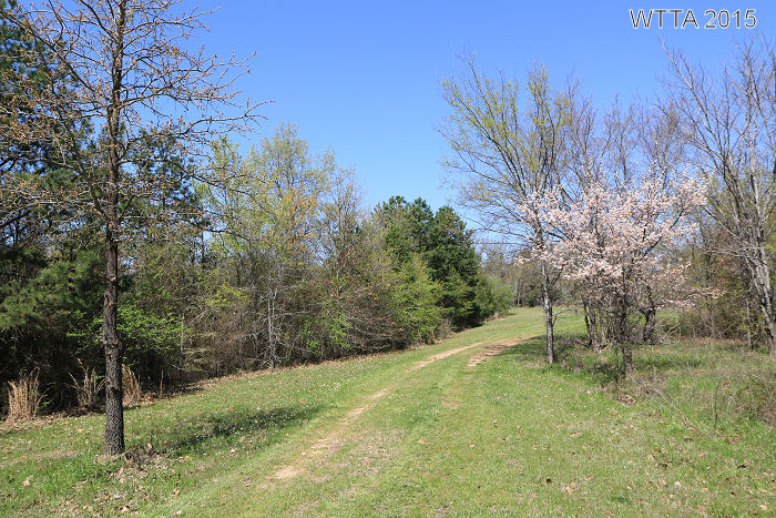
Terrain: The trails at Horse Heaven Ranch Resort are mostly rocky so please have shoes or boots on all four hooves. Some of the rocks have angled points, so if you are not using boots you might also consider pads with your shoes for protection of your horse’s hooves. A few trails closer to the campsite are sandy with minimal rocks such as parts of A where it runs parallel with the barn and cabins, but you will still have quite a few areas on these trails that are rocky. The terrain is also flat to rolling, with some steeper grades. Elfie shared that the northeast side of the ranch, on Southface and Outriders trails have the steeper inclines and rockiest areas, but they also have the best views. She said the best views are on the northeast side of the ranch. She said you can ride up towards Talimena Drive / HWY 1 near the AT&T towers for the best overlooks. Elfie also shared that the Southface trail is really rocky now due to wash outs and on parts of it she recommends getting off and leading your horse. There were several creek crossings along the trail which still had water flowing through. Most of the creek crossing have large rocks rounded and smoother from years of water flowing over them. Almost all of the trails are heavily forested, full of vegetation providing lots of shade. Do watch out for the black berry bushes; they will reach out and grab you with their thorny vines. They particularly favored me for some reason.

Difficulty: The trails we rode (A,B,C, D, Turkey, Black Jack, parts of CNT, and Flat Head Trails, KO4, Frazier Creek, and 6010 forest roads) during this visit were not difficult but they are mostly rocky. These trails are buried deep in the forest under towering trees and vegetation, which did not allow for open overlooks or mountain views. Elfie reports that the Southface and Outriders Trails are more difficult, rockier, have steeper grades, switch backs in some areas, but provide on the northeast side near by the AT&T towers some great overlooks.
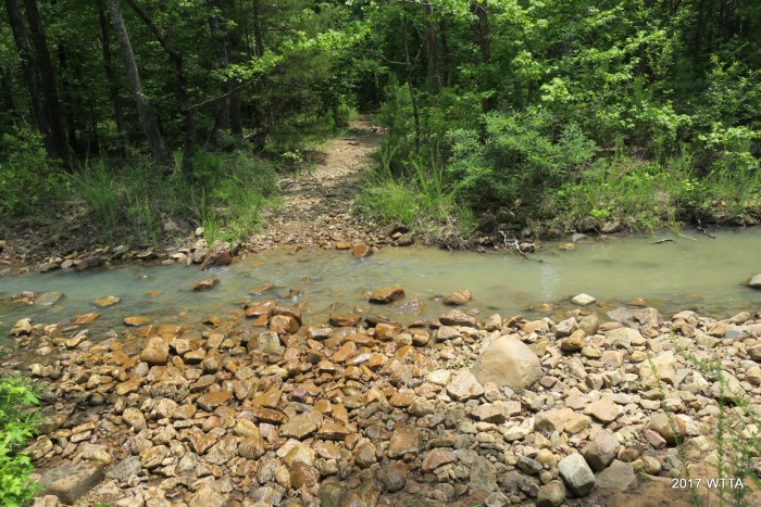
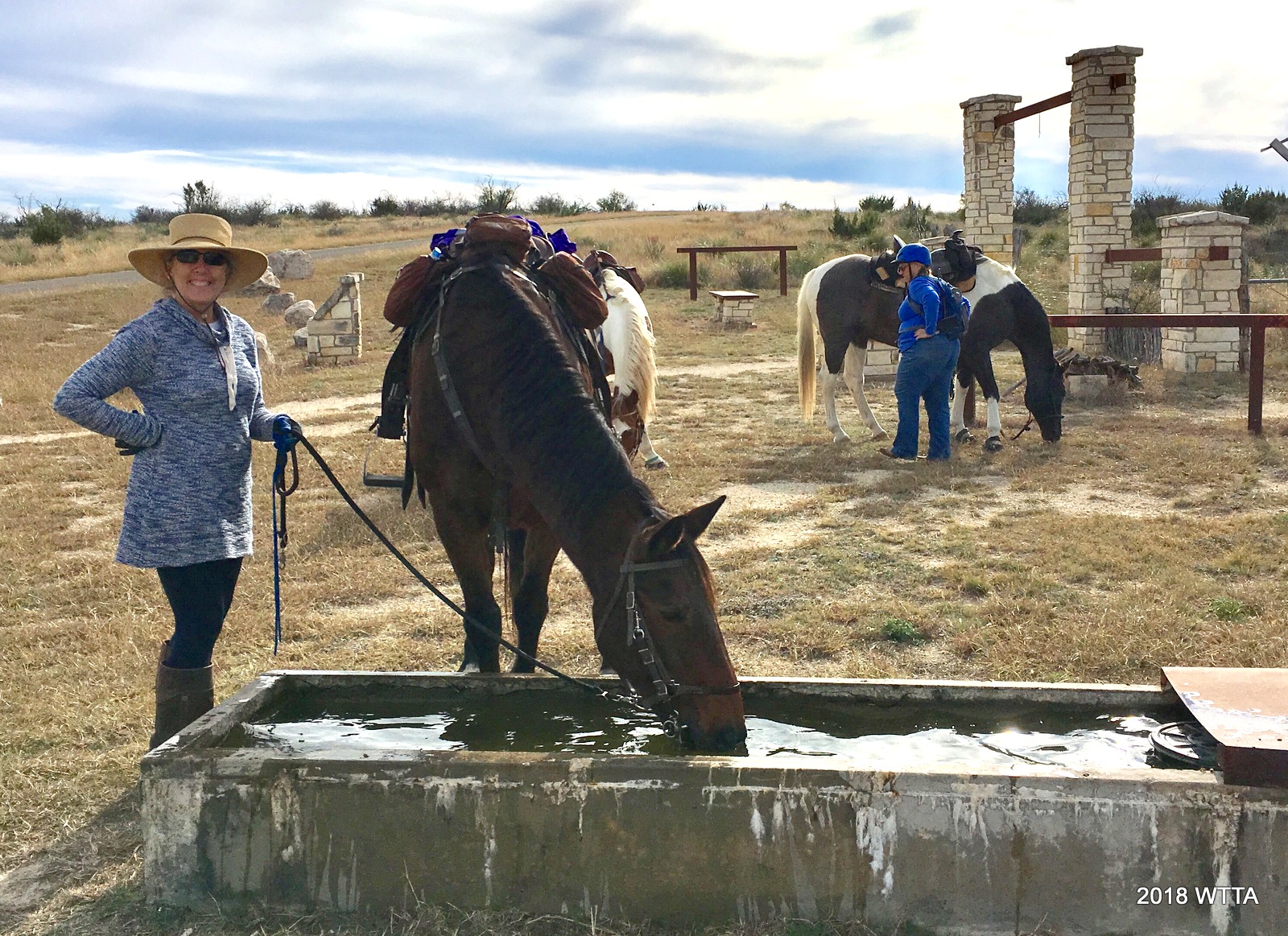
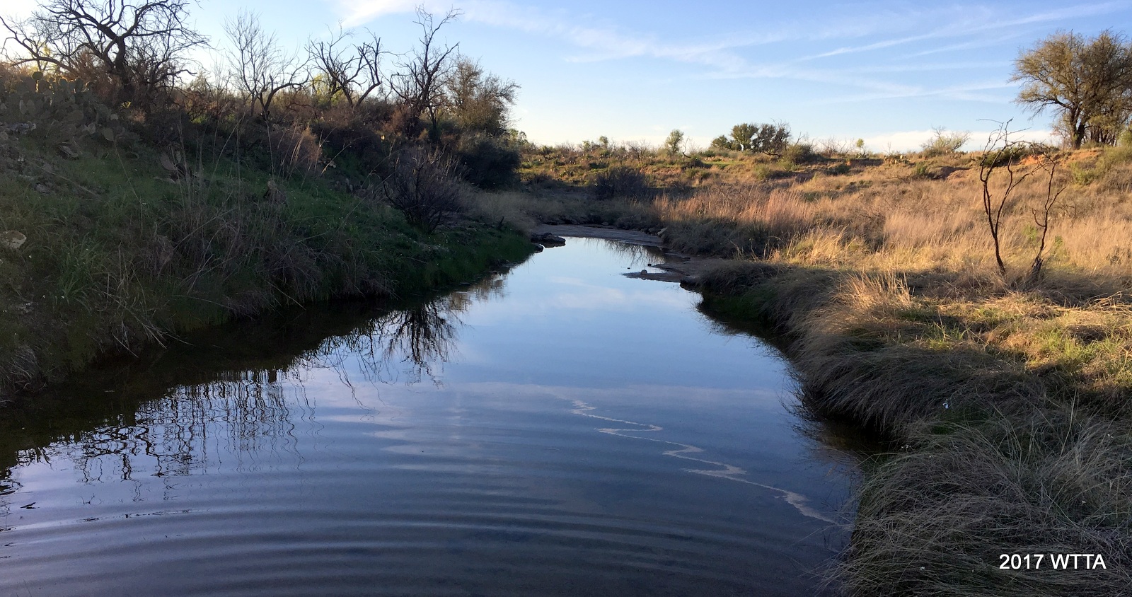
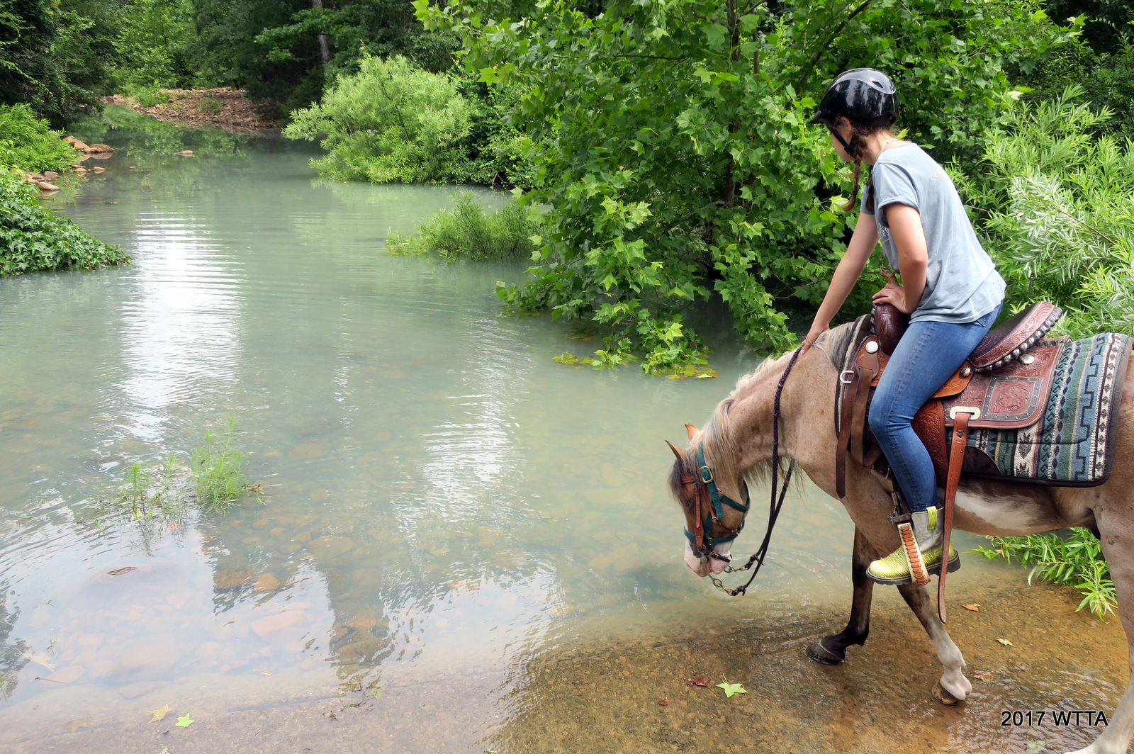
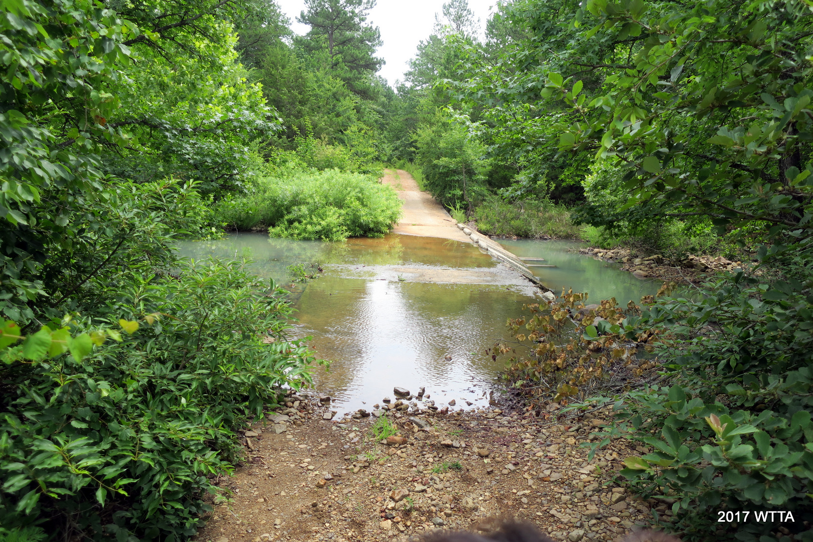
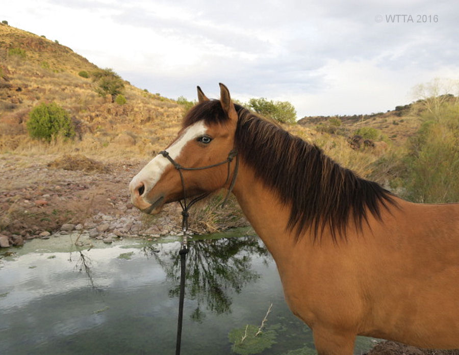
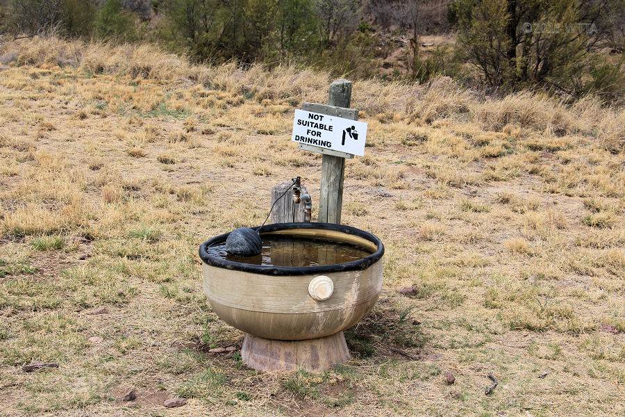
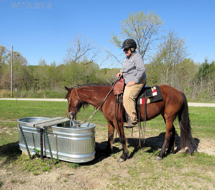
Water: This area of Oklahoma recently had rain resulting in several stream, puddle, and creek crossings. There was lots of water available to the horses on trail. Be aware there are no water troughs set out, the water sources are all natural. If it gets dry enough this will most likely limit water access on trail, especially during summer months.
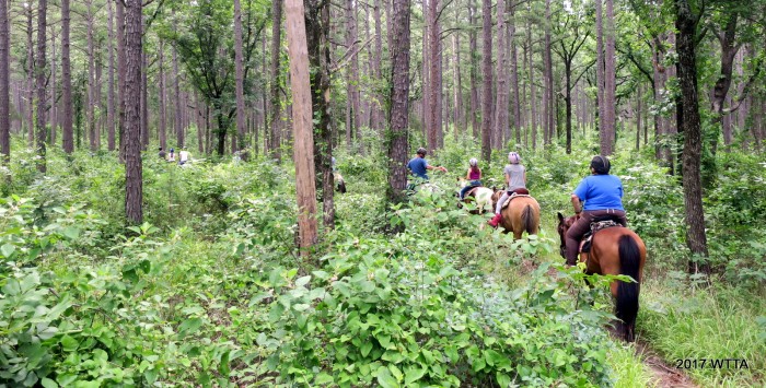
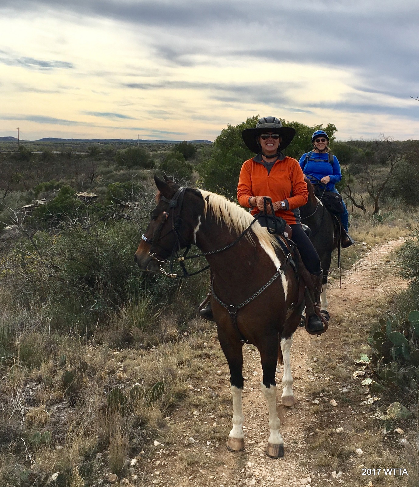
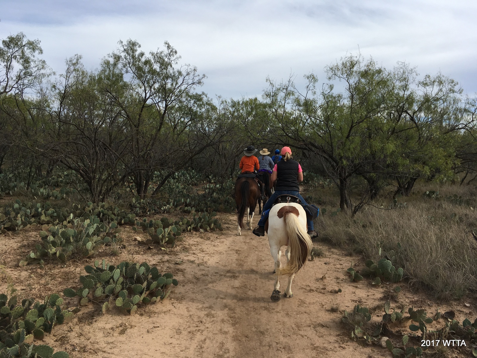
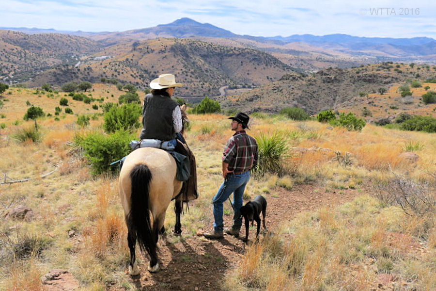
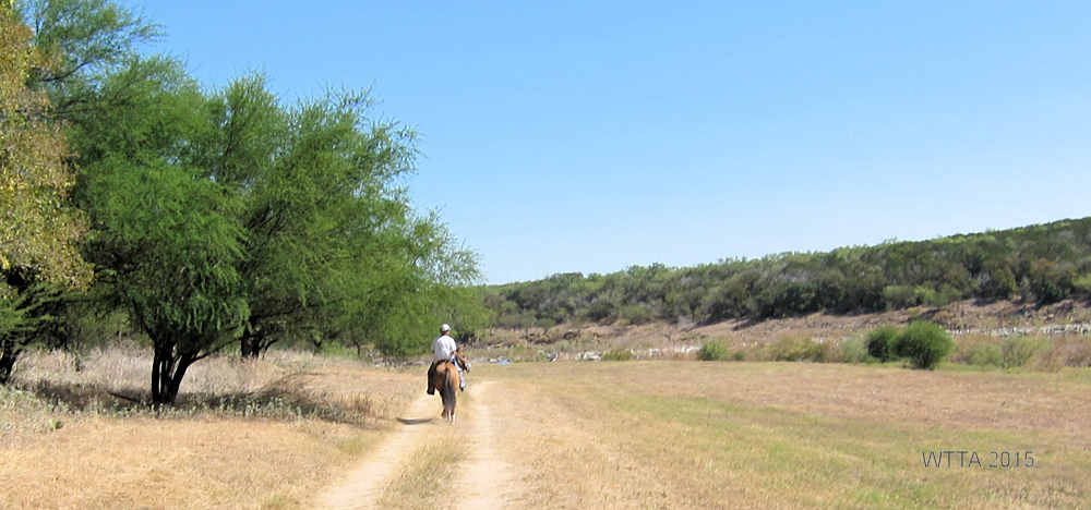
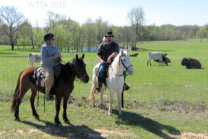
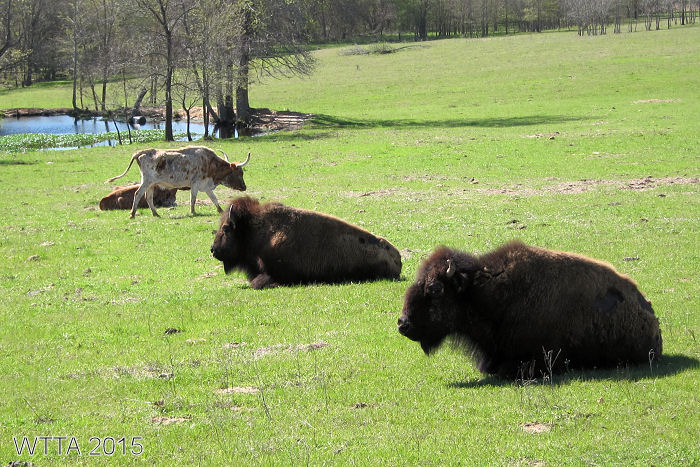
Trails: I really enjoyed the trails at Horse Heaven Ranch Resort. You will find yourself twisting and winding up and down through the thick cool forest. Our visit in June was a little warm so the shaded trails were a big plus. If you don’t want to venture off too far, many of the trails are close to the campground or if you are in an adventurous mood you can ride off the map. There is certainly not a lack of trails. Riding out on four separate occasions I was able to take a new path each time. Along the trail we came across deer, armadillo, a beautiful and vocal red tailed hawk, lots of various birds, and lots and lots of large fat rabbits. Our trail boss also pointed out some bear tracks in the mud. Elfie said they do have bears and cougars in the Ouachita Forest, luckily we did not see any. Between the sound of hooves and our group, I’m sure we scared off most of the local inhabitants before we could catch a glimpse of them. This is a place I’d return for future horse get aways.
Other Things to Do:
- Scenic Drives: Be sure to take your vehicle up to HWY 1 / Talemina Drive for great sight seeing opportunities of the Ouachita Mountains. http://www.talimenascenicdrive.com/
- Fishing: Fish in one of the two ponds filled with bass, cat fish, and perch in the Horse Heaven camping grounds.
- Visit Talihina: Go out to eat and get one of the best steaks at The Rockhouse Steakhouse in Talihina. Visit this little town and pick up what ever supplies you might need; only seven miles from Horse Heaven.

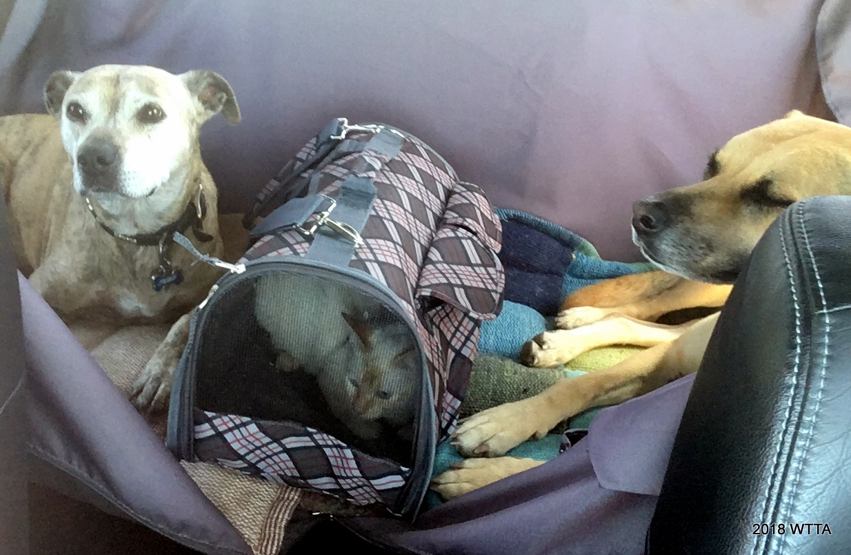
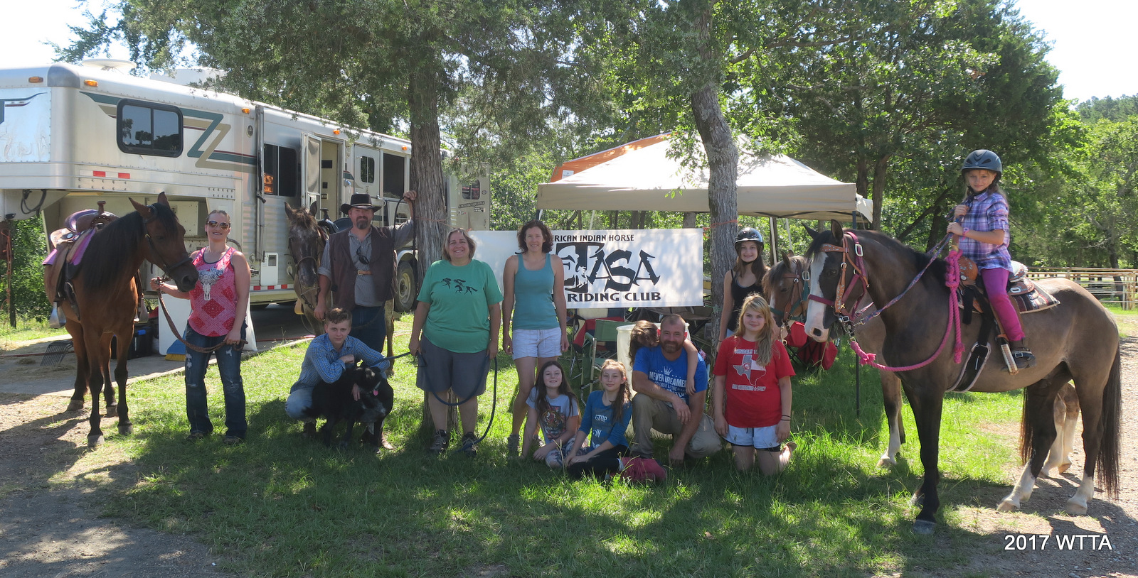
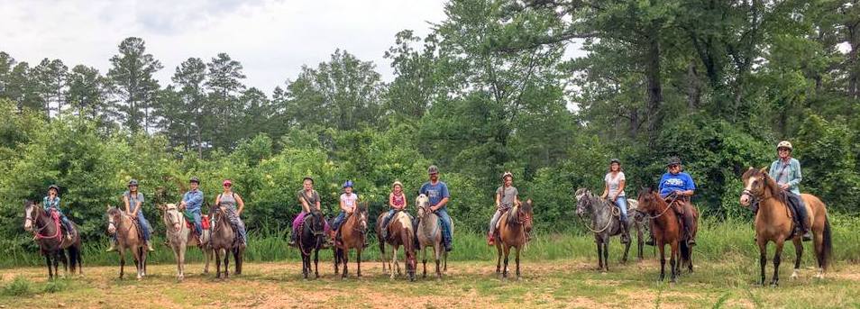
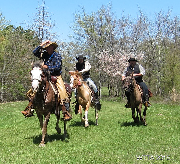
Trail Tale: How I needed a horsey vacation and going to the Horse Heaven Ranch Resort in the Ouachita National Forest was just the fix. I was meeting up with NETASA, our Spanish Mustang/Indian Horse trail riding group. Upon inspection of our trailer it was clear we needed new trailer and truck brakes. That was expensive, but I’m thankful it was caught before we had a catastrophe. I could not catch a break, as now my husband Chris could not get off work, so I was going to have to haul my horse Angel up there 470 miles solo. Well not exactly completely alone, as I had my sweet dog LB along. Lastly, the weather forecast did not look promising with daily rain storms. I felt something was telling me not to go. But I really needed to get away and pushed myself forward with the plan. I was able to break up my travel into two days. I stayed overnight at my Mom’s and took her out for a birthday breakfast the following morning before heading off to Horse Heaven. Now that was good timing! Things were clearing up, as then I met up with the NETASA group in Paris. Unfortunately, Curtis and Patty had a flat on their truck, but between Curtis, David, and Chance, they quickly changed the spare out. Patty made for some good company as she rode the rest of the way with me. Thankfully, the remainder of the trip was mostly uneventful with one minor detour resulting in the sighting of a brilliant mountain rainbow, courtesy of Curtis.

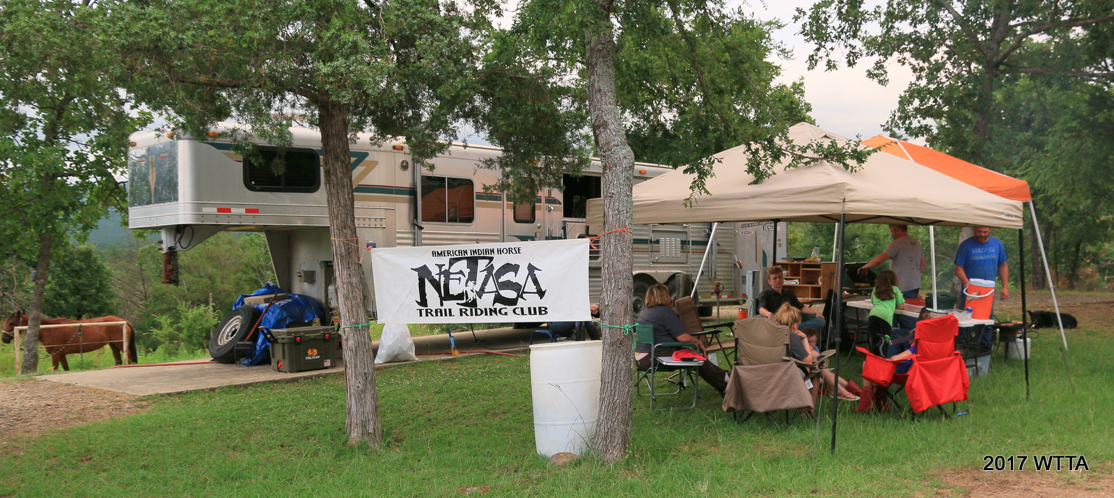
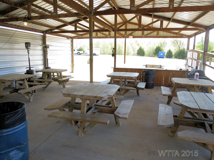
June 22nd 2017 we arrived at Horse Heaven, settled into our sites, and had a dinner of hot dogs. Another great thing about being with the NETASA group is that Curtis likes to cook, so I don’t have too! We all pitch in $$ for the food and enjoy. We had eggs, bacon, pancakes, sausage, and breakfast tacos; we had simple lunches, and had scrumptious dinners of pork chops, beans, corn on the cob, and fajitas with all the fixings. I greatly enjoyed the skits preformed and antics of David and Michelle’s and Andrea’s children. We had a blast playing Chicken Foot and Texas Hold’em in Andrea’s cabin. The cabin was perfect with a great view of the large pond in front and a quiet secluded back porch with a swing in back. The cabin, RV sites with electric and water, and the bathhouse with hot showers sure made it feel like I was not really camping at all. We were definitely not roughing it.
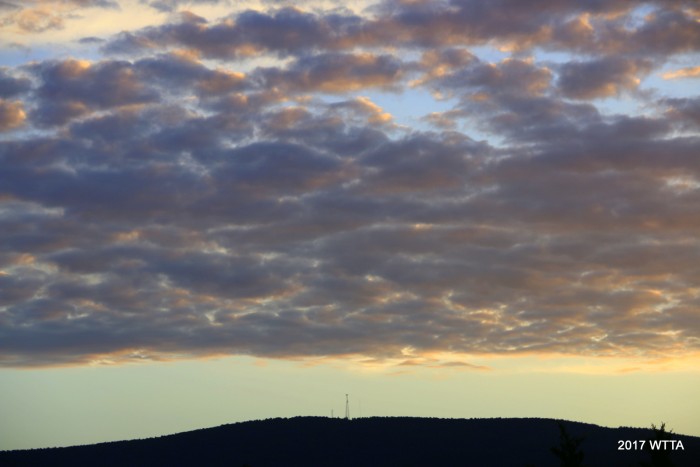
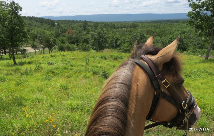
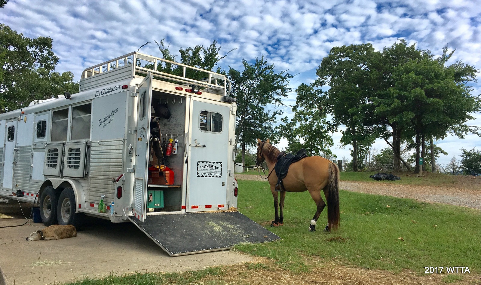
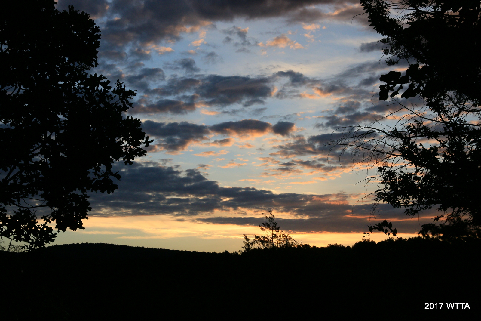
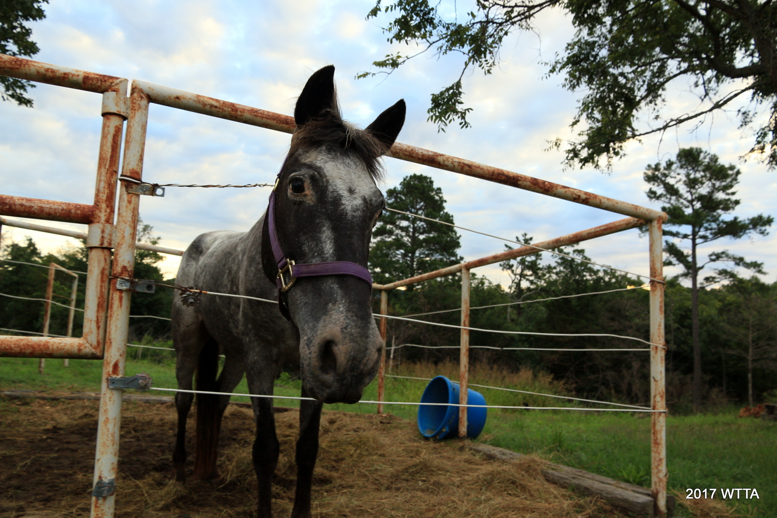
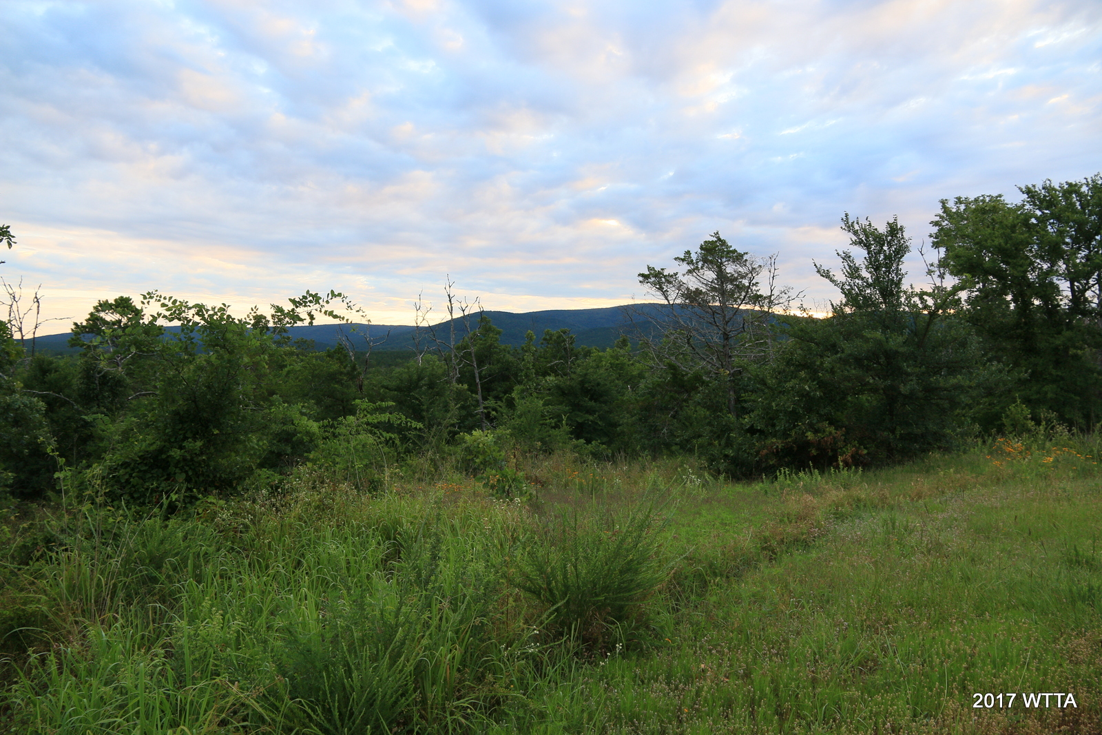
The camping sites (25, 26, and 27) made for great views of the mountains both to the north and south of us. We gazed with delight at the sunsets, fire files, stars, and mountain sunrises. Overnight all I had to do was glance out my trailer window to see that Angel was just fine in her pen.

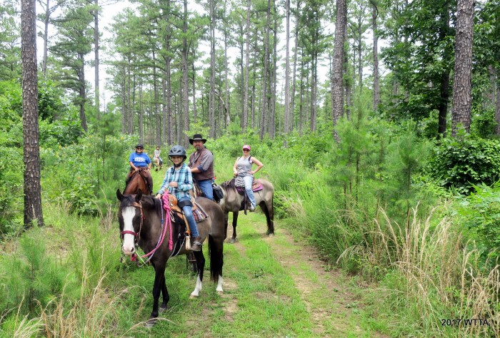
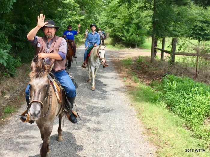
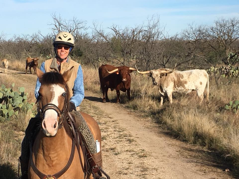
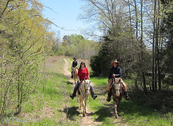
Finally, I’m getting to the highlight of the trip, thirteen Spanish Colonial horses were making their way through the Ouachita National Forest, moving with swiftness and ease over the twisting rocky dense forest trails as if they were raised on them. Stepping over downed trees, carefully picking their way through the rocks, slurping up cool streams, grabbing mouthfuls here and there of sweet tall grass without slowing pace, and looking ever alert as they step forward with purpose and spirit. Our horses were in their element and loving it. This joy of being where one belongs was transferred from horse to rider; I felt in myself and observed it in my companions. Peace, relaxation, and the beauty of nature surrounded us all.

Our First ride out was terribly hot and humid and therefore short as well. We rode a short loop on trails C and D located behind the cottages. The tree cover and creek flowing alongside us gave some relief. Moisture hung thick in the air; we were all ready for the rain to cool things down. It turned out the foretasted rain was a great blessing. That evening, we enjoyed rain showers from under a pop up canopy and watched a distant lightening show to the south of us. The humidity was finally gone and thankfully the showers blessed us with unusually cooler weather for late June in Oklahoma.
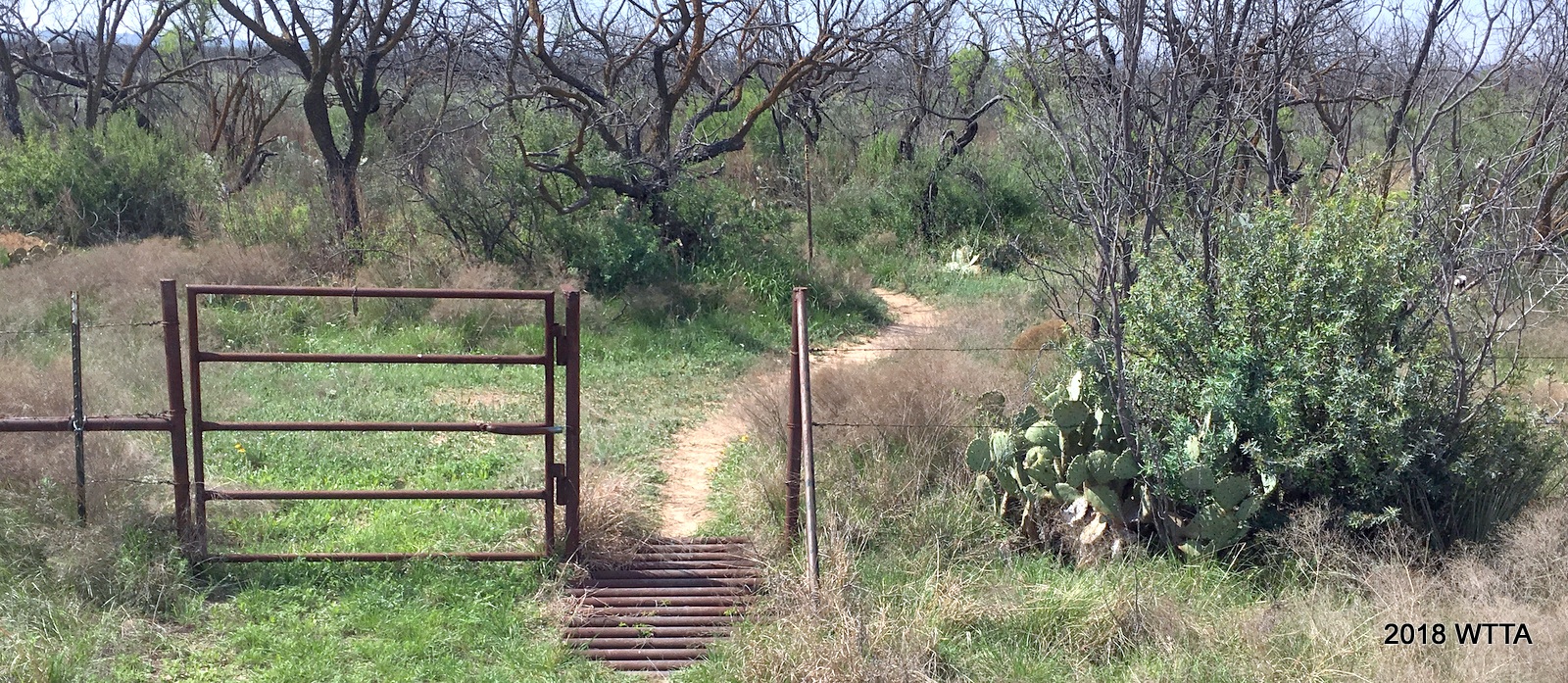
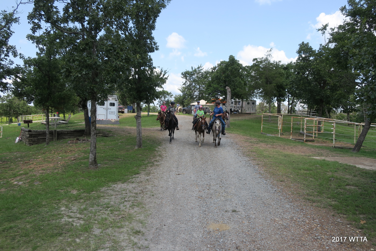
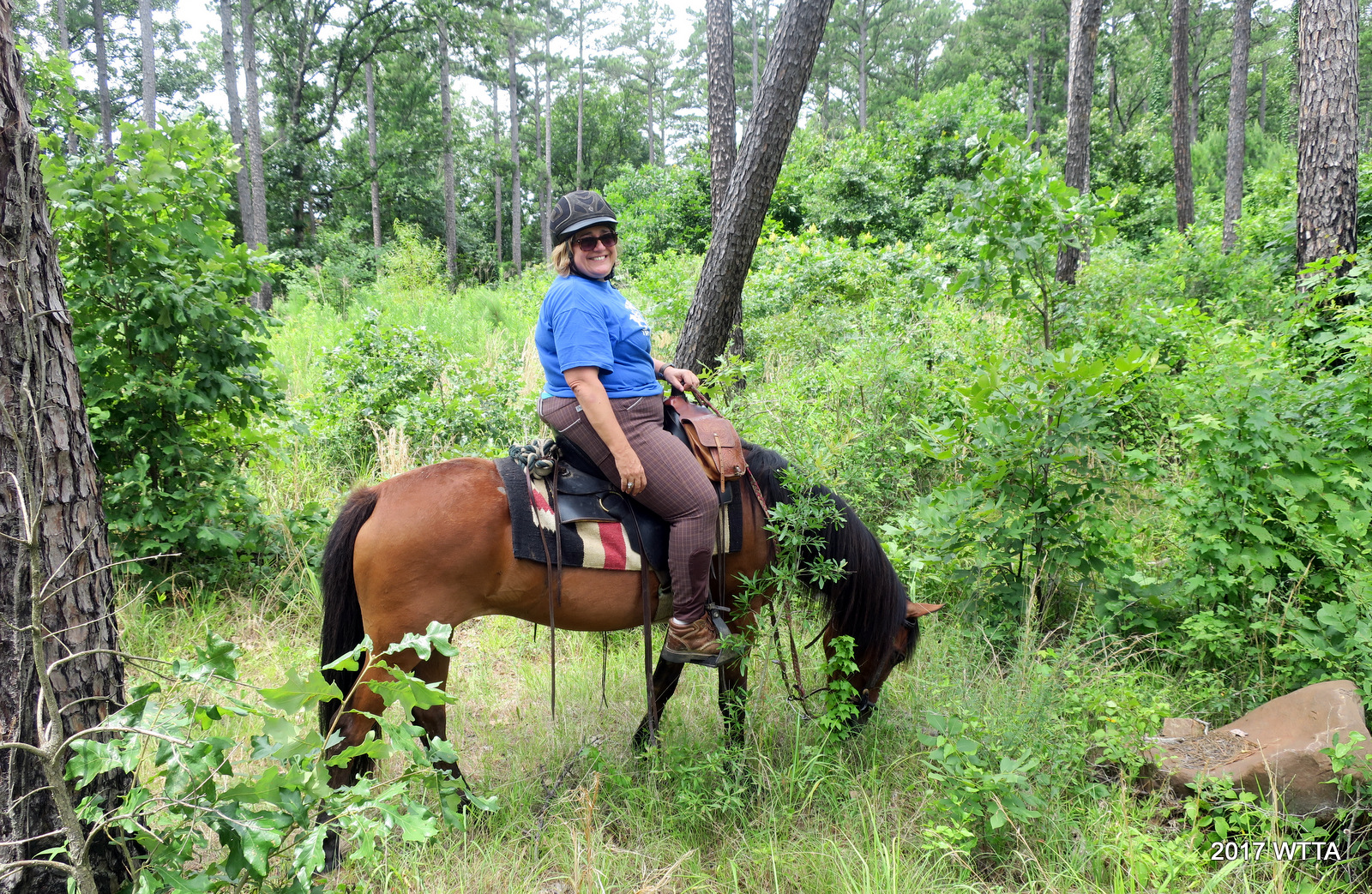
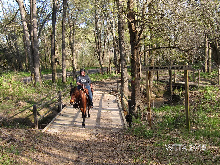
On our second ride we started out at intersection P which is just south of the barn and off of Horse Heaven Lane. There are a few large rocks on the east side of the road with a yellow wooden sign lettered P nailed to a tree above eye level to mark this point. From here we rode to Turkey Trail, to C, A, then K04 log road, to B I think, and then up north for a few strides along Fraizer Creek Road. Then we cut west taking the Black Jack trail loop around and then back to Fraizer Crk. Rd. From here we planned to go left at K04. We were blocked by a cattle guard at this intersection. Luckily Curtis scouted out a way around it, then back to camp we headed via trail B. This made for a great ride of just over 11 miles.
Sunday morning was our last group ride and we were a little thinned out as David’s family had to head back early. We enjoyed a leisurely five mile ride from trail A, to CNT, then along the KO4 and headed back to camp by way of the B or D trails which run parallel to each other.

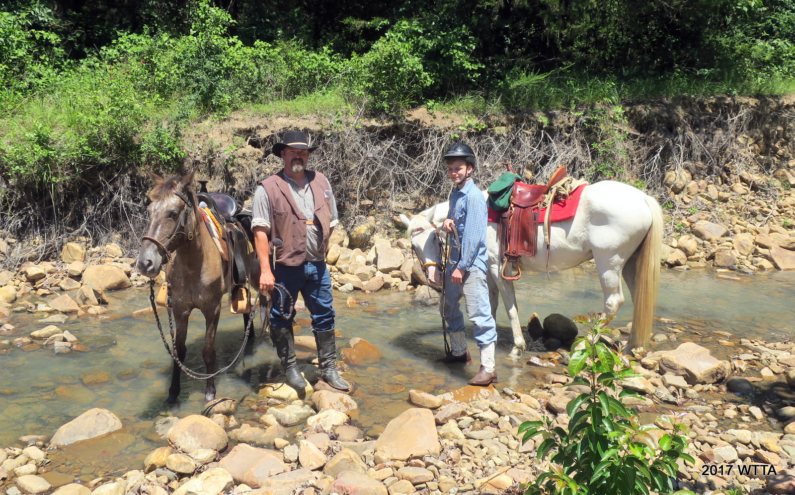
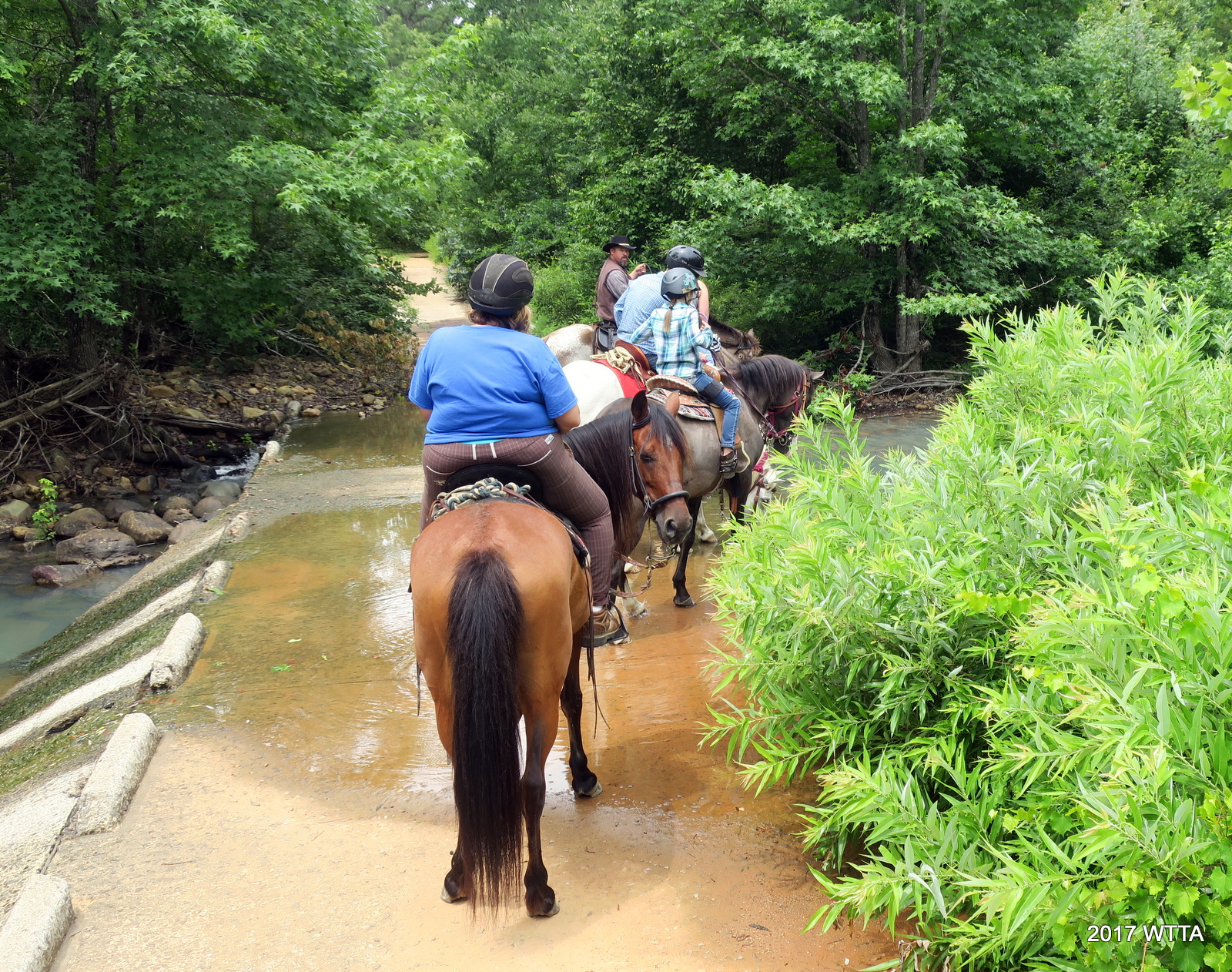
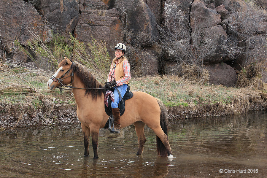
Stopping at a shallow flowing creek to cool off, we soaked our horses hooves, and enjoy ourselves. Of course we took lots of pictures too. I shared an apple with Angel. I love to pack trail treats that both I and my horse can enjoy. It was lovely not to be in a rush. Once back in camp we enjoyed lunch together and I said goodbye to our NETASA group.
I still had one more night at Horse Heaven to enjoy before heading home. That evening I went out with Angel on an easy two and a half mile ride around the camp grounds and down one of the nearby forest service clearing paths. With the exception of two other RVs in camp we almost had the place to ourselves. I was looking forward to getting in one more ride before leaving tomorrow morning.

A beautiful Monday morning at Horse Heaven. The best way to start the week! Angel and I are ready for the trail.
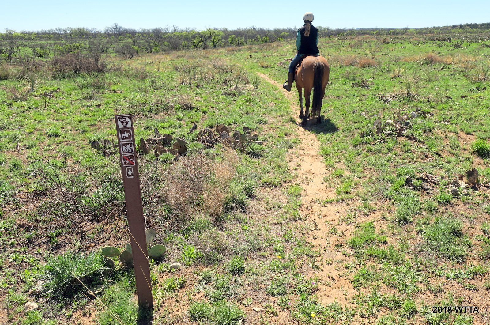
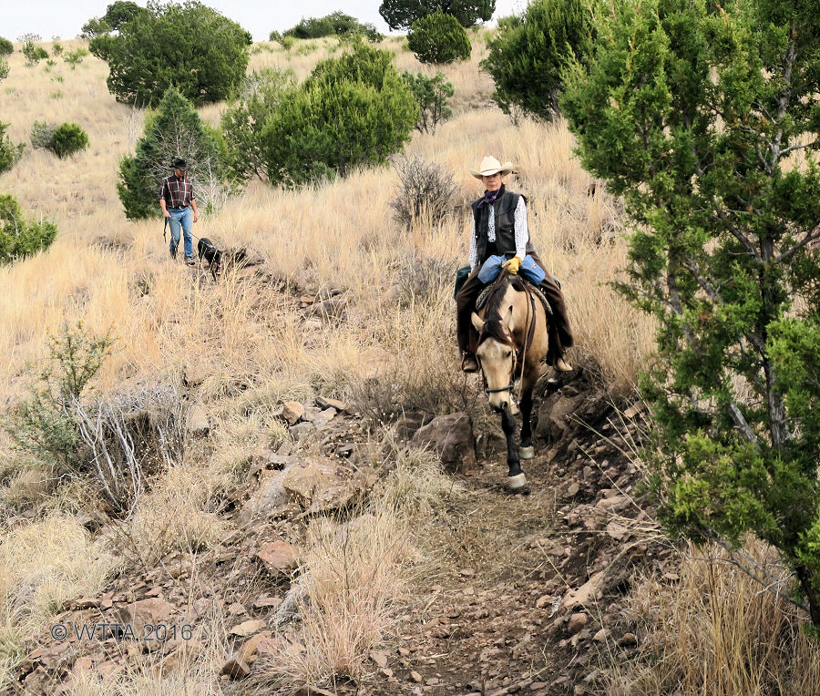
Monday morning, Elfie walked her dog over to my site and we settled up the bill. She recommended a route that would be about a two and a half hour ride, which was perfect. She was very helpful and went over the route with me. Elfie said I could call her if needed. Yes, there is fairly good cell service on the trails in this area. Angel and I headed north on A trail. I love that I can ride her with confidence in a group or independently, she is so versatile and the best horse I’ve ever partnered with. Since I was not in a group this time around I got to see little bit more of the wild life, no bears or cougars though thank goodness.

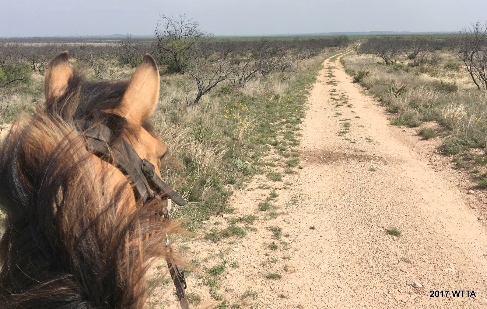
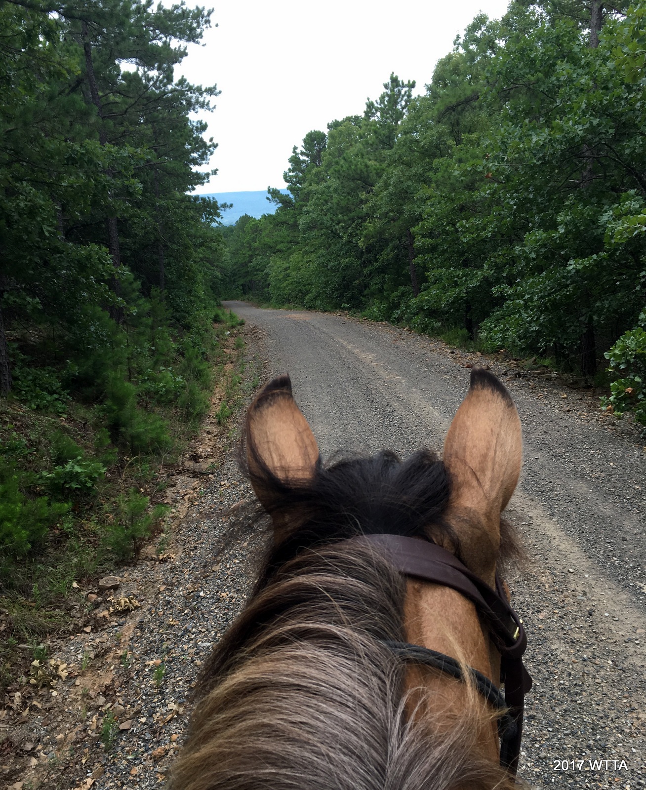
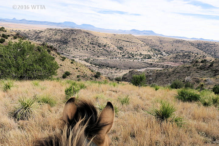
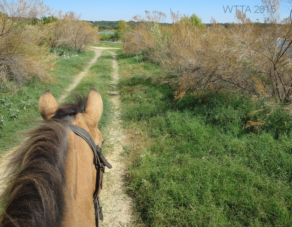
Heading northeast on Trail A.
Starting out on trail A we (my horse, Angel, and I) crossed paths with an armadillo and a few deer. I was not fast enough with my camera to catch a shot of them.
This is the CNT (Comanche Nation Trail) where we went right. I did not see any trail markers at this intersection.
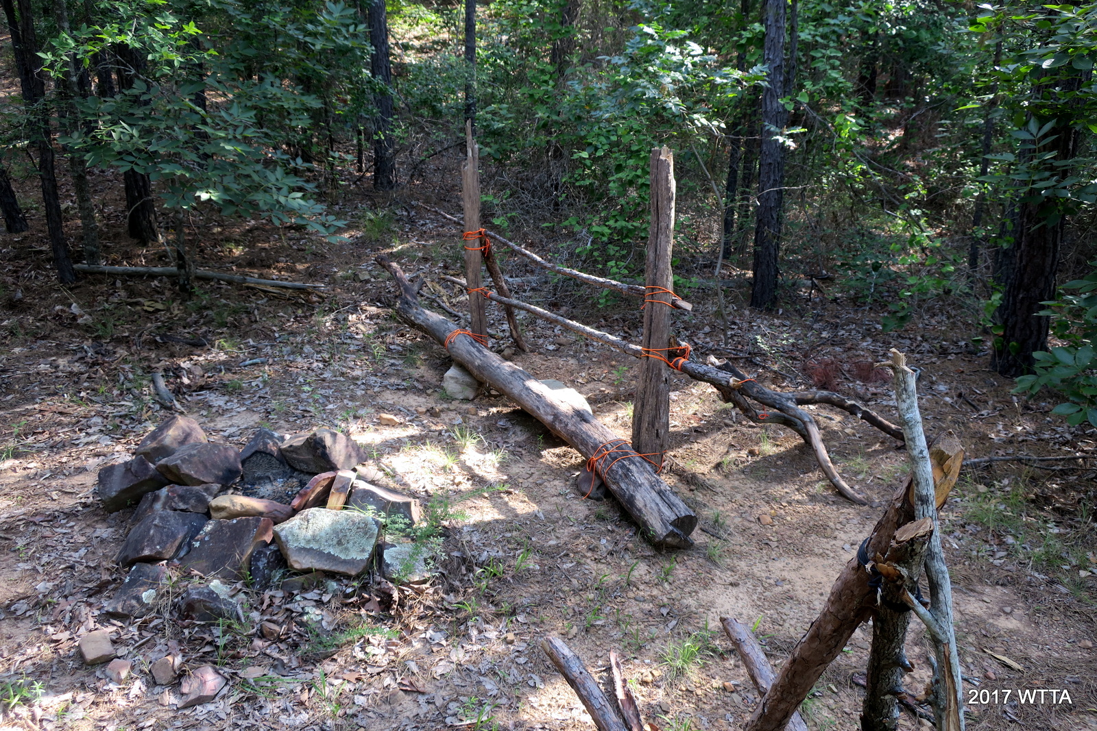
We cut east on the CNT trail which is fairly rocky and had a few creek crossing. We came across a hitching post and wheel barrow structure put together with dead fall and orange bailing twine next to a rock fire pit. This must be a hikers tent camping spot.
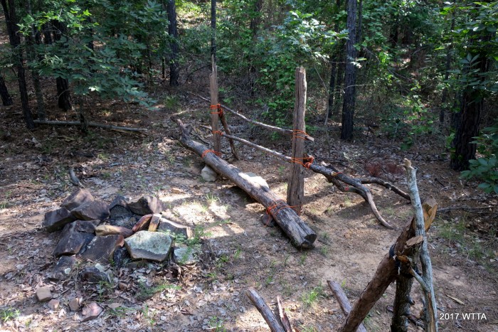
This looks like a camping spot along the CNT trail.
The CNT trail branched off into two trails, one with a ATV sign and the other with a no ATV sign. I did not realize I might run into an ATV on trail. I think these trails eventually came back together. From then on out I noticed lots of tire tracks along the trail. I later asked Elfie about this. She said it was unlikely I’d run into an ATV on trail on a Monday. She said the ATV’s are usually only on the CNT and logging roads.
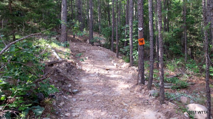
ATV trail along the rocky CNT, the ATV sign is upside down.
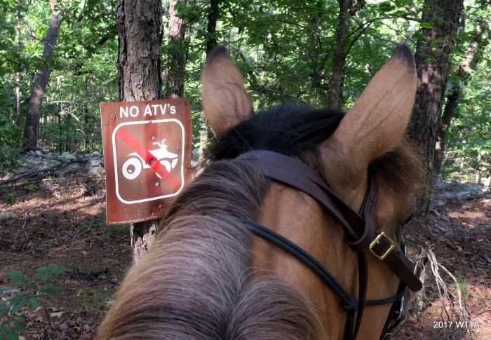
ATV restricted section of the CNT trail.
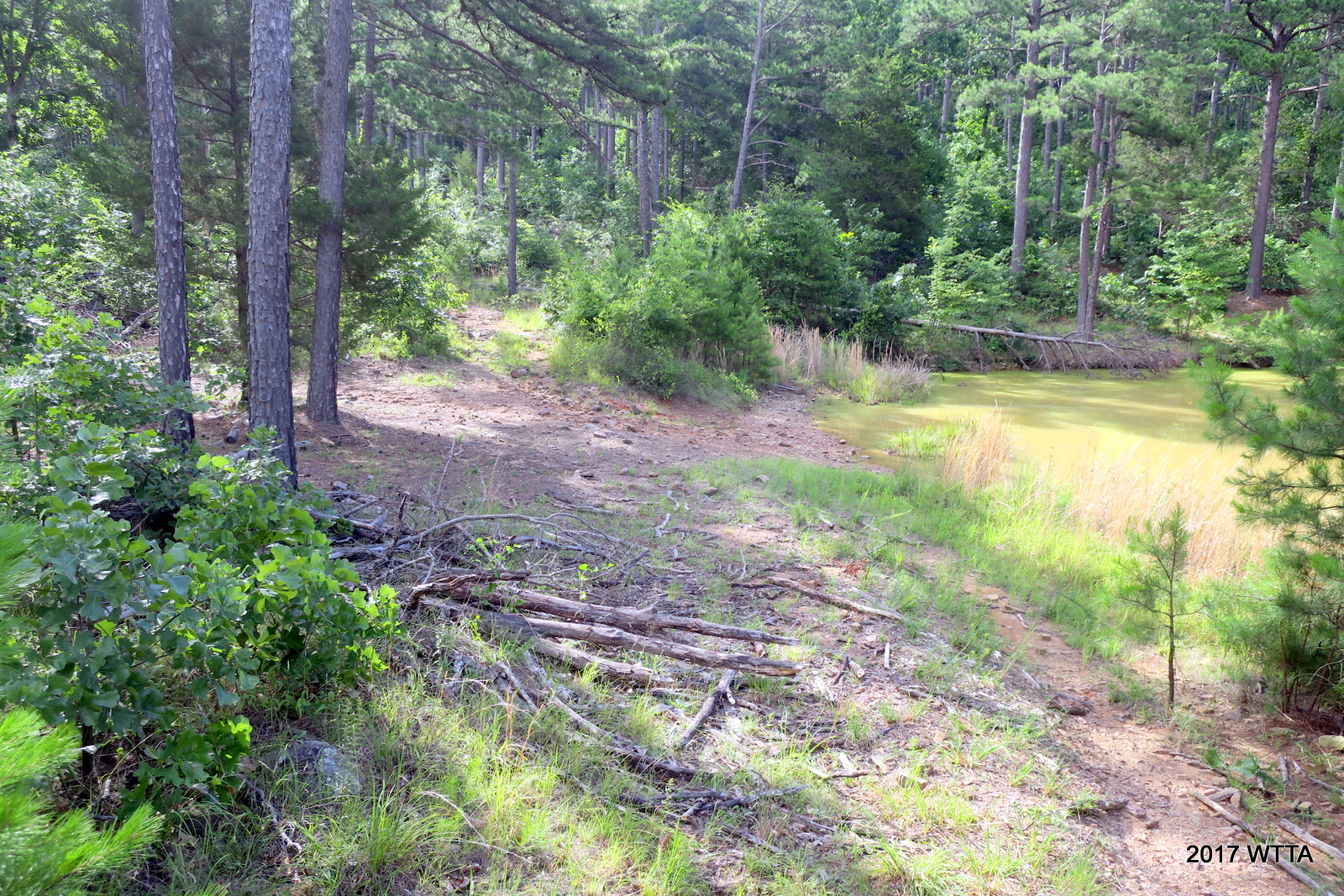
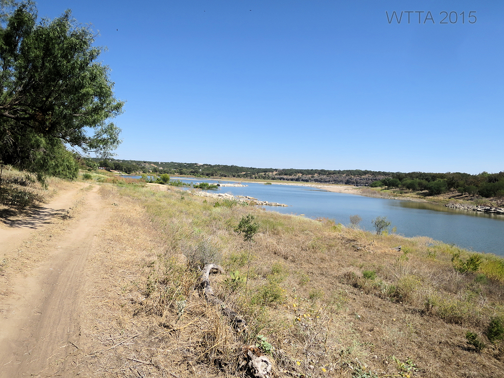
Along the CNT, we passed a copper colored pond. Here, there was also a forest service path to the left which we passed by.
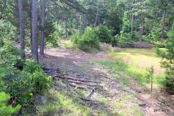
Passing a pond to our right along the CNT.
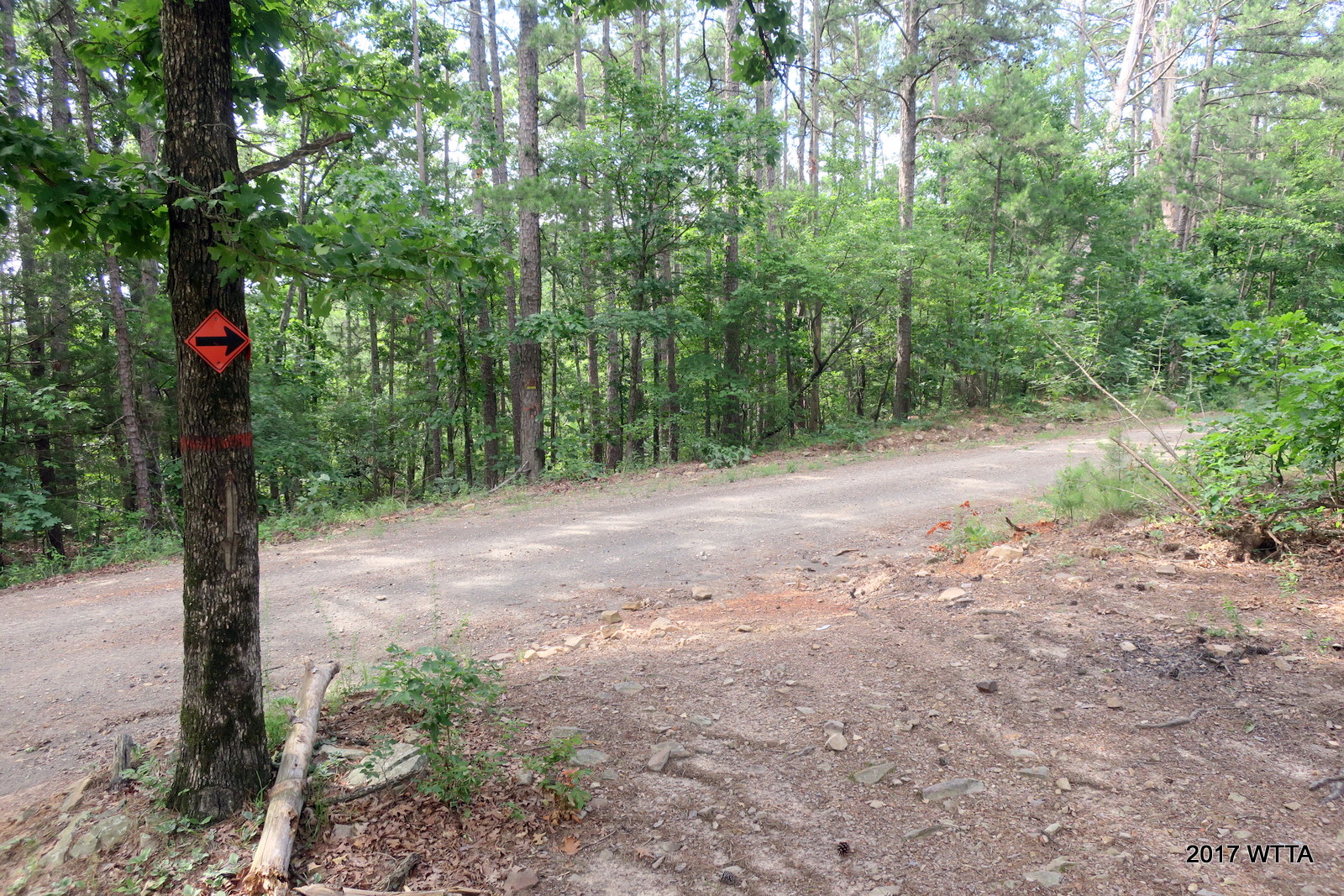
We continued on CNT and then came to the 6010 gravel road. A red sign pointed us to the right/south.
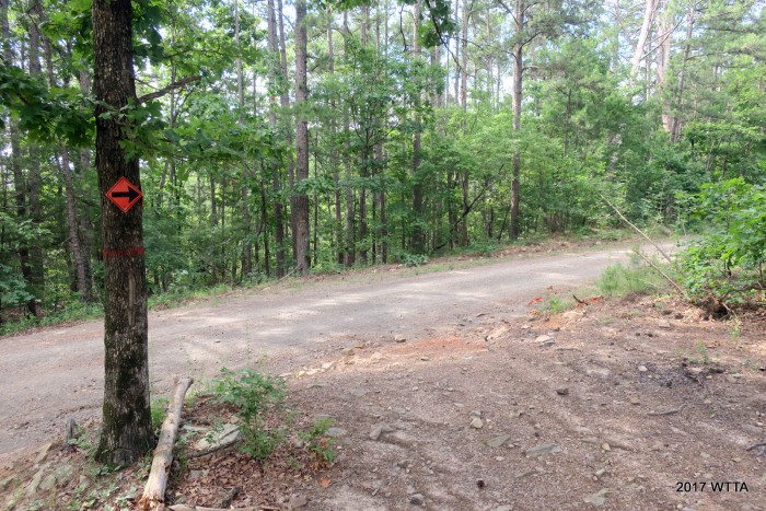
Coming to 6010 road from the CNT trail, we are directed to head south.
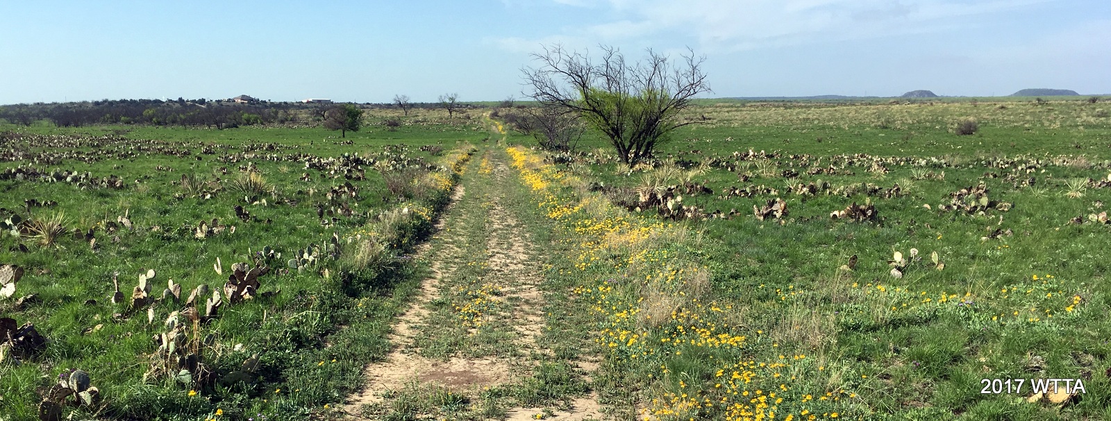
Angel and I went along this road for a few miles before our next junction. On this road, there was no traffic and we did not see another soul. From here we had a few glimpses of a mountain range to our south.

From 6010 heading south, Angel and I are looking at the mountain range ahead.
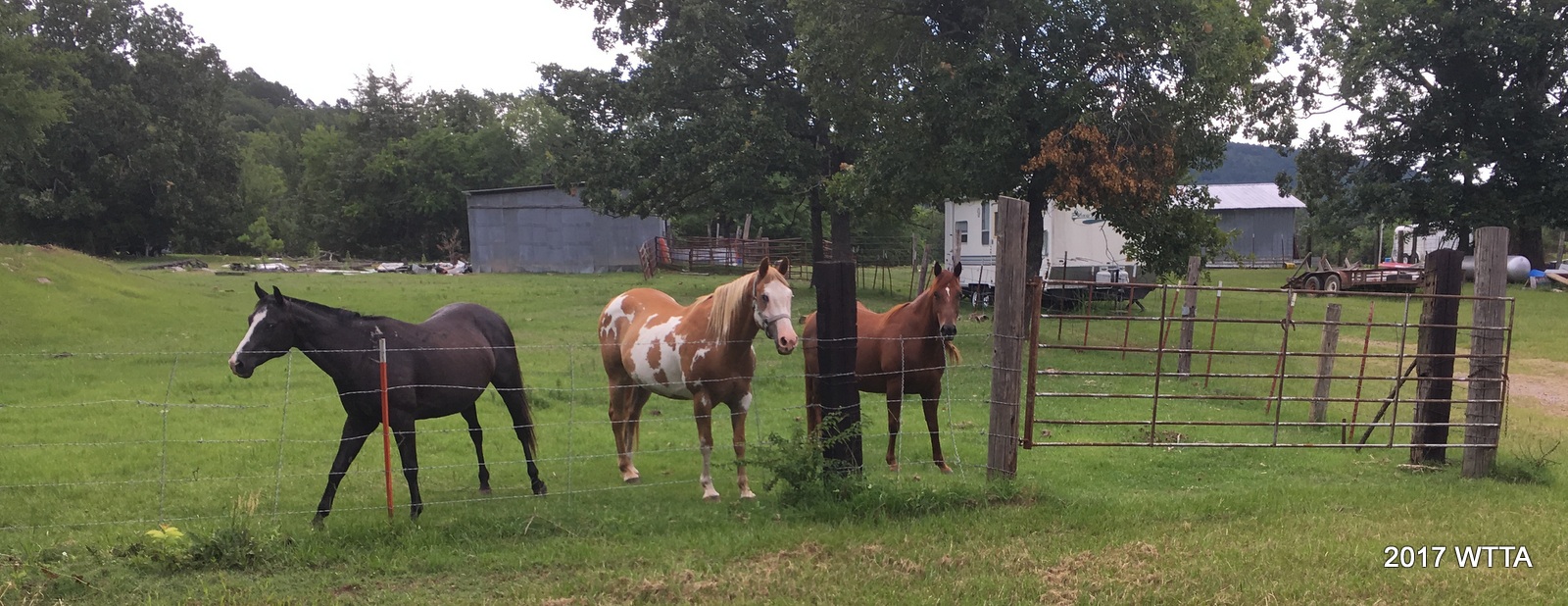
Just as Elfie and the map points out I came to a house. Angel was happy to greet three horses pastured next to this home.

Three friendly horses are nickering greetings to Angel.
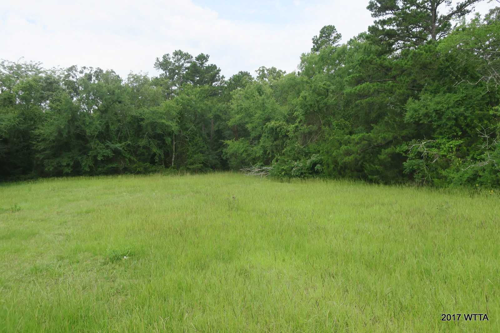
Here there is an open field to the right. I rode down the right side of the field and kept the trees to my right, as the map and Elfie instructed.

From road 6010 at the house, turn right into this field, keeping the treeline to your right to pick up Flat Head Trail. Look for the pink ribbons on your right to pick up the trail.
I soon saw the pink ribbons, we picked up flat head trail heading southeast. I enjoyed this short trail through the woods and it was well marked with several ribbons.
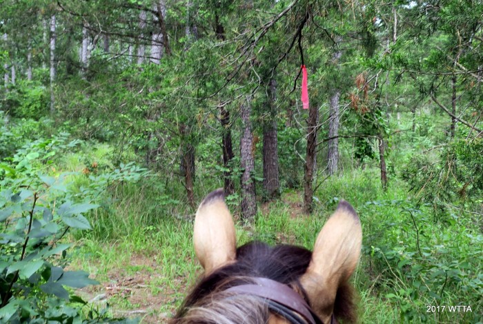
Flathead trail is well marked with pinkish ribbons.
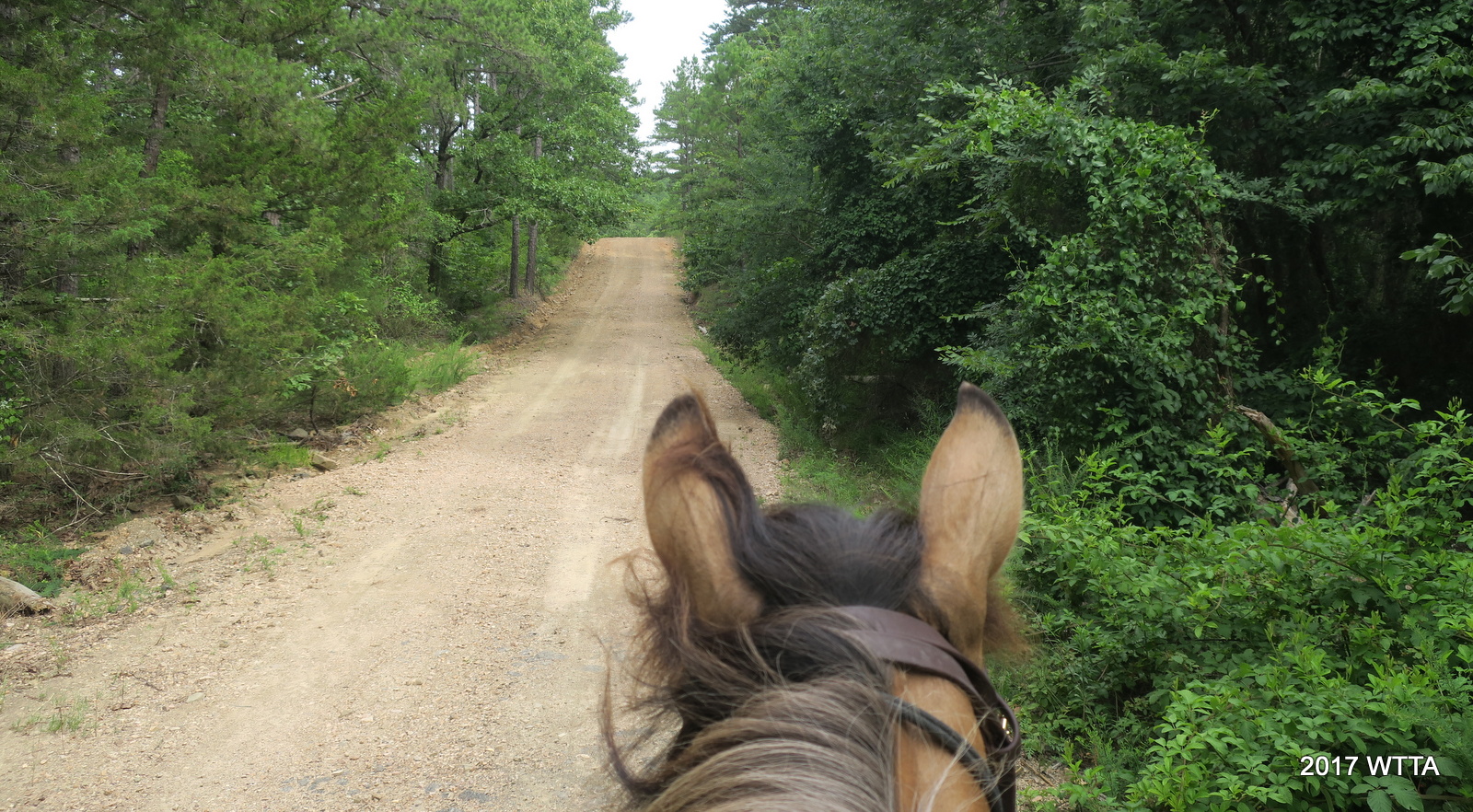
Flat Head eventually opened up to another road. I did not see a name for this road on the map or on the actual road.

Heading northwest on an unnamed road between Flat Head and C trails.
Turning right at this nameless road eventually took us over a small wooden bridge.

Little wooden bridge along the nameless road.
I continued to followed the road a little ways, then turned right off the road onto a trail before hitting the intersection labeled M on the map. Here I got a little confused and thought I was taking the Lord’s Trail by going right but soon saw the yellow wooden sign nailed to a tree with the letter C. This worked too and just made my route slightly shorter than anticipated. I’m not sure how I got off my planned route but the good news was, I was not lost.
Intersection M, marked on the map with the letter M in a box and here on trail marked by a yellow sign nailed on the tree. This trail seemed to follow a forest service path as well. I took a right here thinking I’d be going on the Lord’s Trail but ended up on C trail.
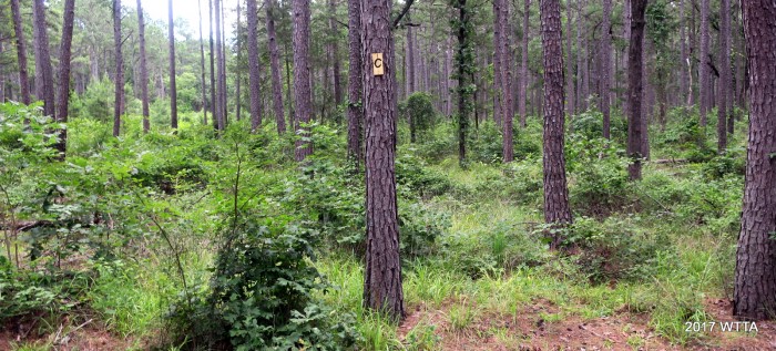
Trail C, somewhere between the nameless road and Turkey Trail.
From trail C, I went left to Turkey trail, and then on A to head back to camp.
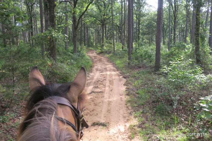
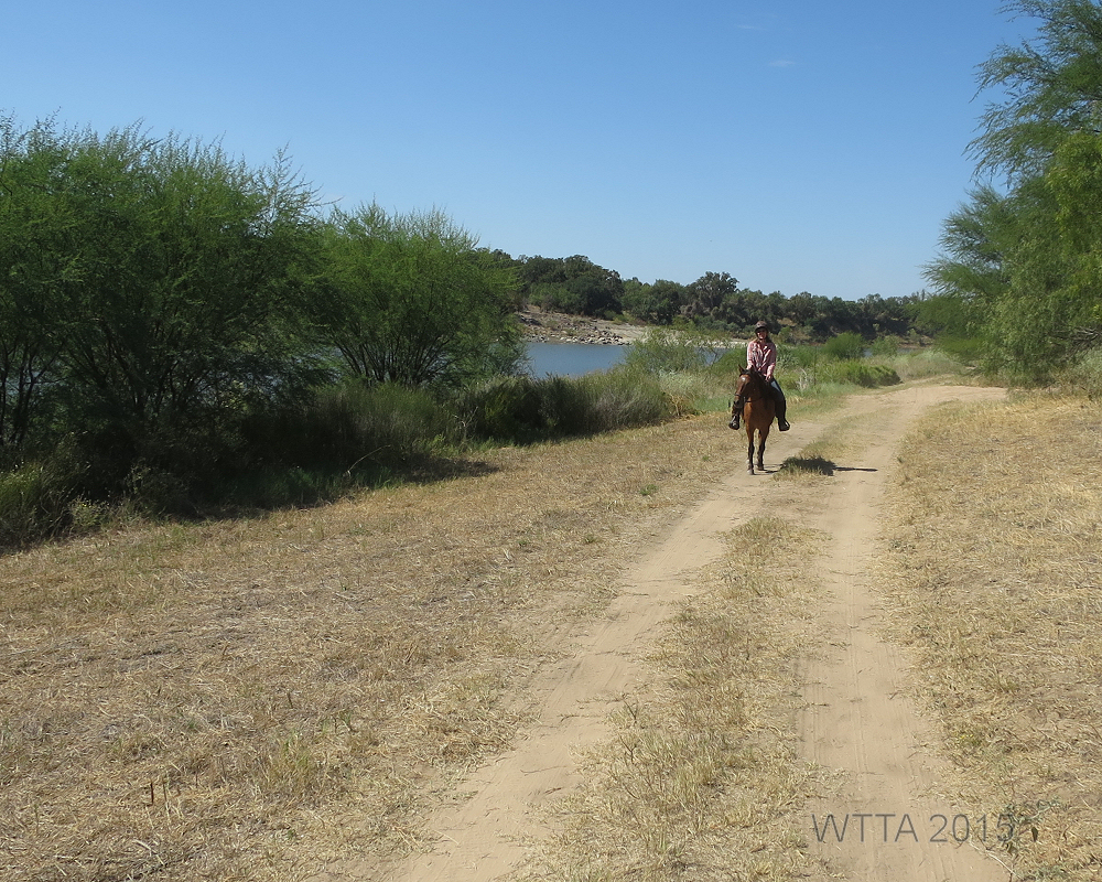
Heading north on Trail A between Turkey Trail and the campsite. We are almost back to our campsite.
Angel and I had a great ride. My Angel, as usual, was steady and dependable.
Back at Horse Heaven Campsite after a great ride. Taking one last look around at the beautiful campground views before getting ready to head home.
I thanked Angel for being so awesome. I hosed her off then gave her some hay to enjoy while she rested and I packed up camp. We said goodbye to Horse Heaven and headed home.
Heading Home
Heading Home:
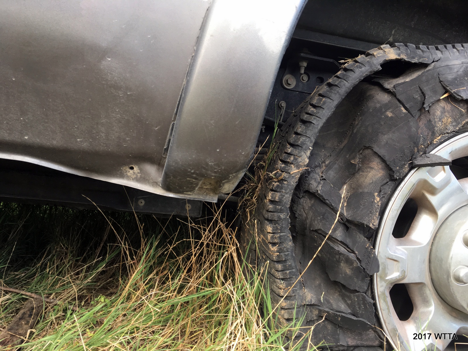
This time I was the one to get a flat tire on HWY 2 just four miles north of Antlers. I had to get off the two lane highway, as I was on a curve and it was a dangerous spot. The grassy side of the road was at an awkward incline which caused other problems. When I weighted my options, I’d rather be in an awkward position than get hit on the side of the road. Just keeping the door open at that angle was a challenge. I got out the spare tire key and jack handle and started putting them together to get the spare out from under the tuck. However, with the trailer attached and being at such an incline things were difficult. I also was not sure our jack could handle the weight of our truck with the trailer in tow. Then I thought to myself, why am I doing this. Honestly I was not so sure I knew what I was doing. People kept coming by that I did not know wanting to help. Everyone seemed friendly enough, but I just told them I had someone coming.
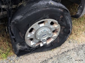

I decided to call a tire shop in Antlers. Isaac with Kiamichi Tire Service was by in no time. However, he also could not change the tire due to the incline the truck and trailer were at. I had to put it in four wheel drive low and drive up a hill and over to the right further away from the road to get on level ground. It was slow going as the rim was digging into the ground while the truck labored along. Once in a better position Isaac got the spare out and tire changed.
Getting back up to the highway was another ordeal. 4×4 low was a no go. Isaac suggested I try 4×4 high and go straight up and out instead of gradually going up at an angel. It took some effort but this plan worked. Problem was, once the truck got up on the road the angle of the truck bed and trailer nose was too much and the bed of the truck hit the trailer nose causing some minor damage to the truck bed, damn!
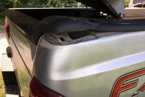
Damage to the truck bed.
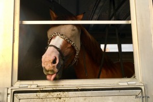
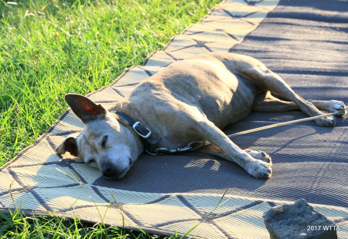
This is what Angel thought of the trip home.
I then followed Isaac into town to pay my bill and get all my tires checked. Thankfully the rest of the tires were fine. Angel had enough and was stomping impatiently in the trailer. I found a nice grassy area to take her out of the trailer to give her a rest and make sure she was ok. Angel enjoyed grazing for about an hour. She also had a nice roll in the grass, some hay, and drank a good amount of water before we headed back to my mom’s. She was just fine.

We were a bit off schedule now and I decided to take the back way staying away from Dallas, so we finally got to my mom’s around 12:30am. I had a good long visit the following day with family and headed home once it started to cool off some time around 7pm. If anything were to go wrong again, I did not want to be on the side of the road midday in June in Texas. Luckily, there were no more hiccups and we made it home just fine. I learned that I need to practice changing truck and/or trailer tires while the trailer is attached. I also learned, if I’m going on a long trip I’m going to have an extra spare within easy access in the bed of the truck. Lastly, don’t worry about ruining the wheel rim, if you are in a bad spot just keep driving slowly on the road with hazards on until you can get to a better area. Looking forward to my next camping trip but hoping next time I’ll have someone along for ride, as a horse and dog can’t really help much with changing a tire.
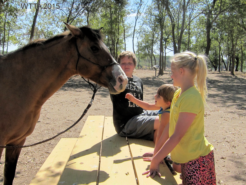
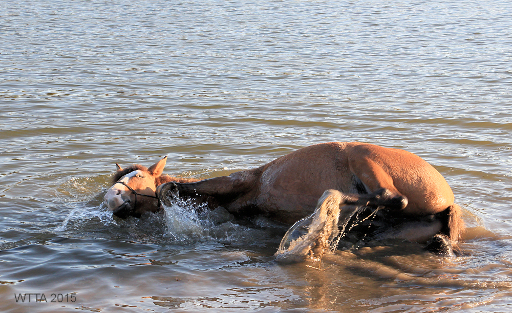
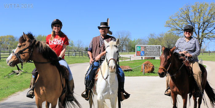
Photo Gallery:


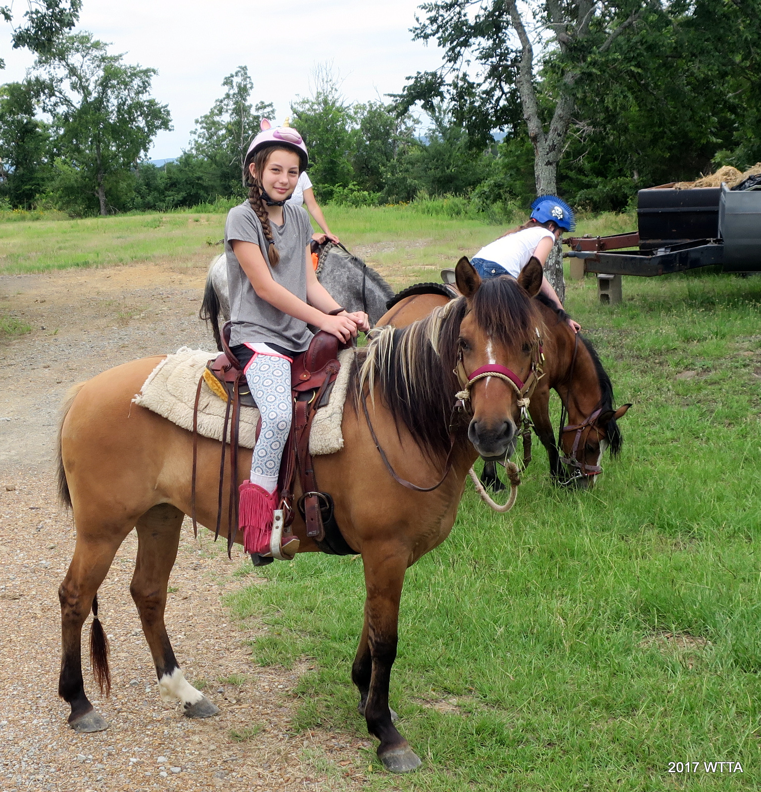

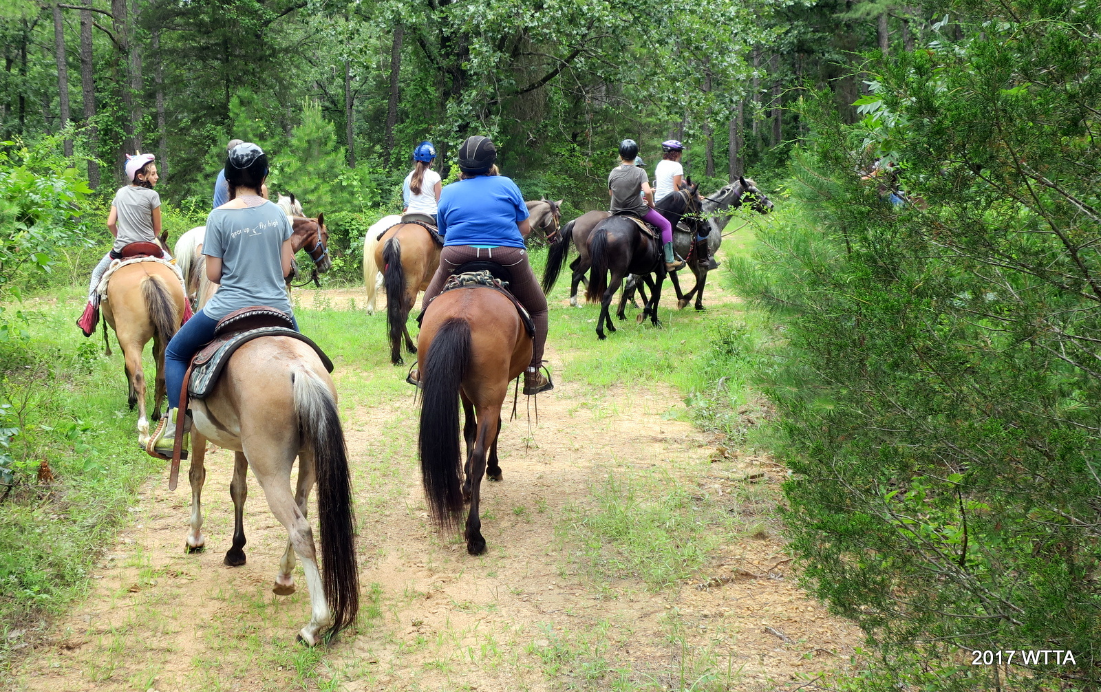

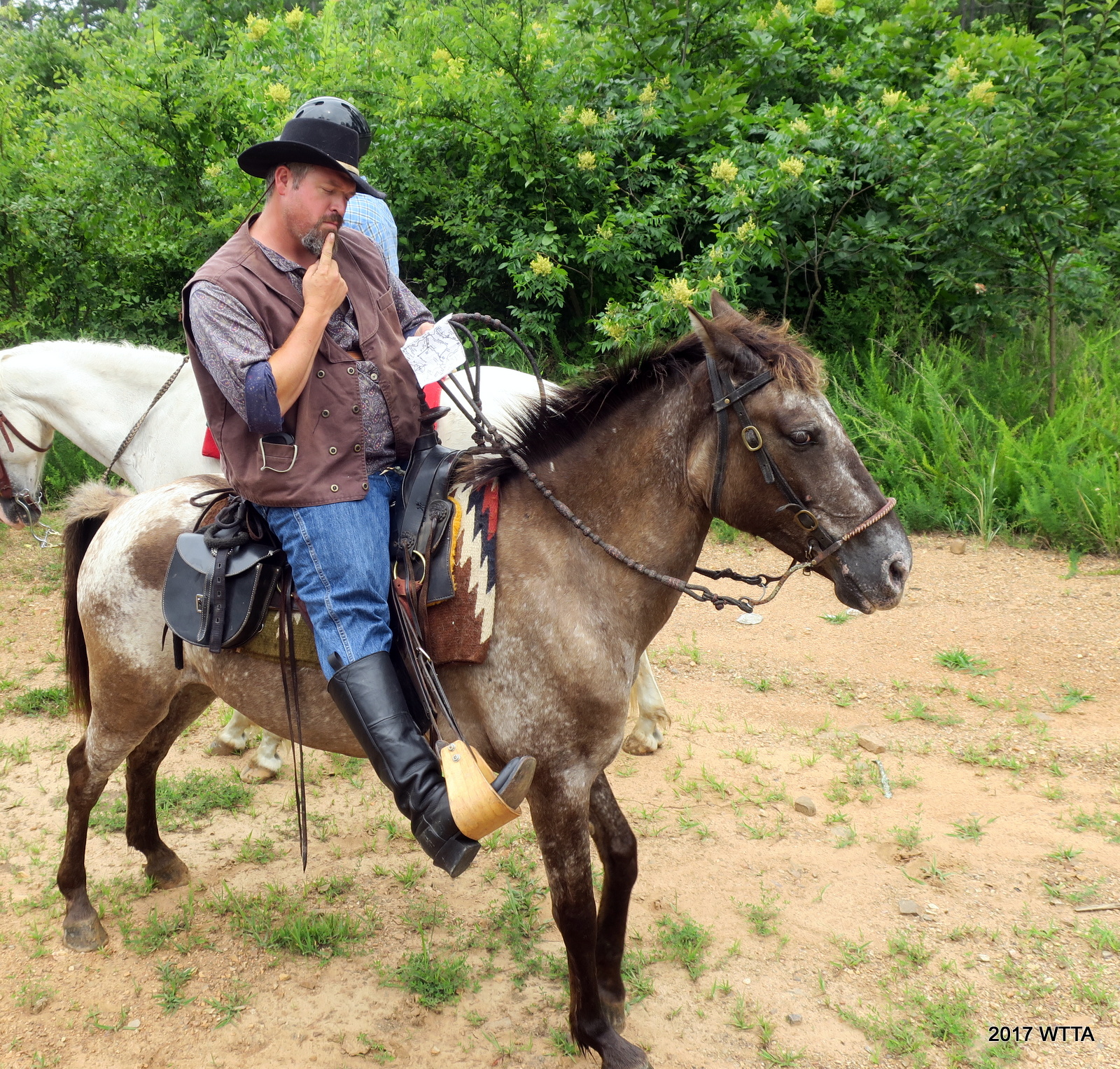

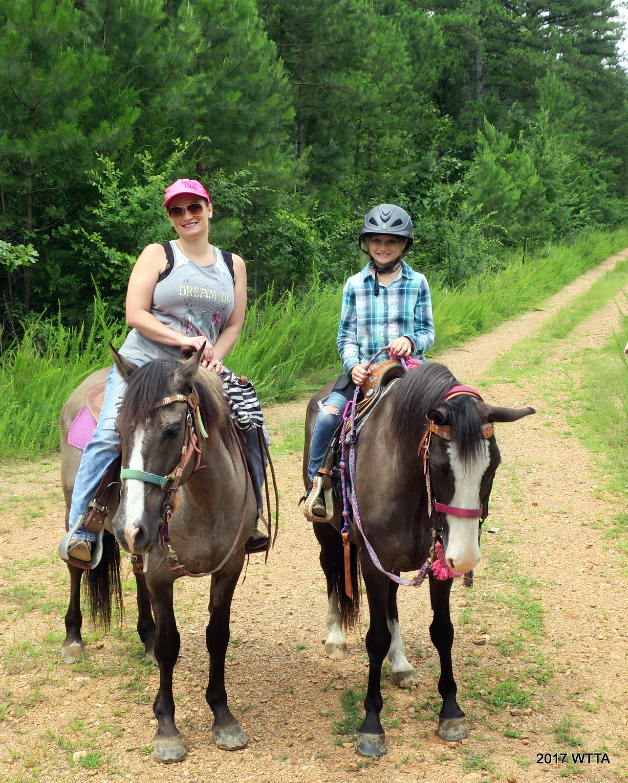


